MyTopo
Classic USGS Rancher Cemetery Montana 7.5'x7.5' Topo Map
Regular price
$16.95
Regular price
Sale price
$16.95
Unit price
per
Couldn't load pickup availability
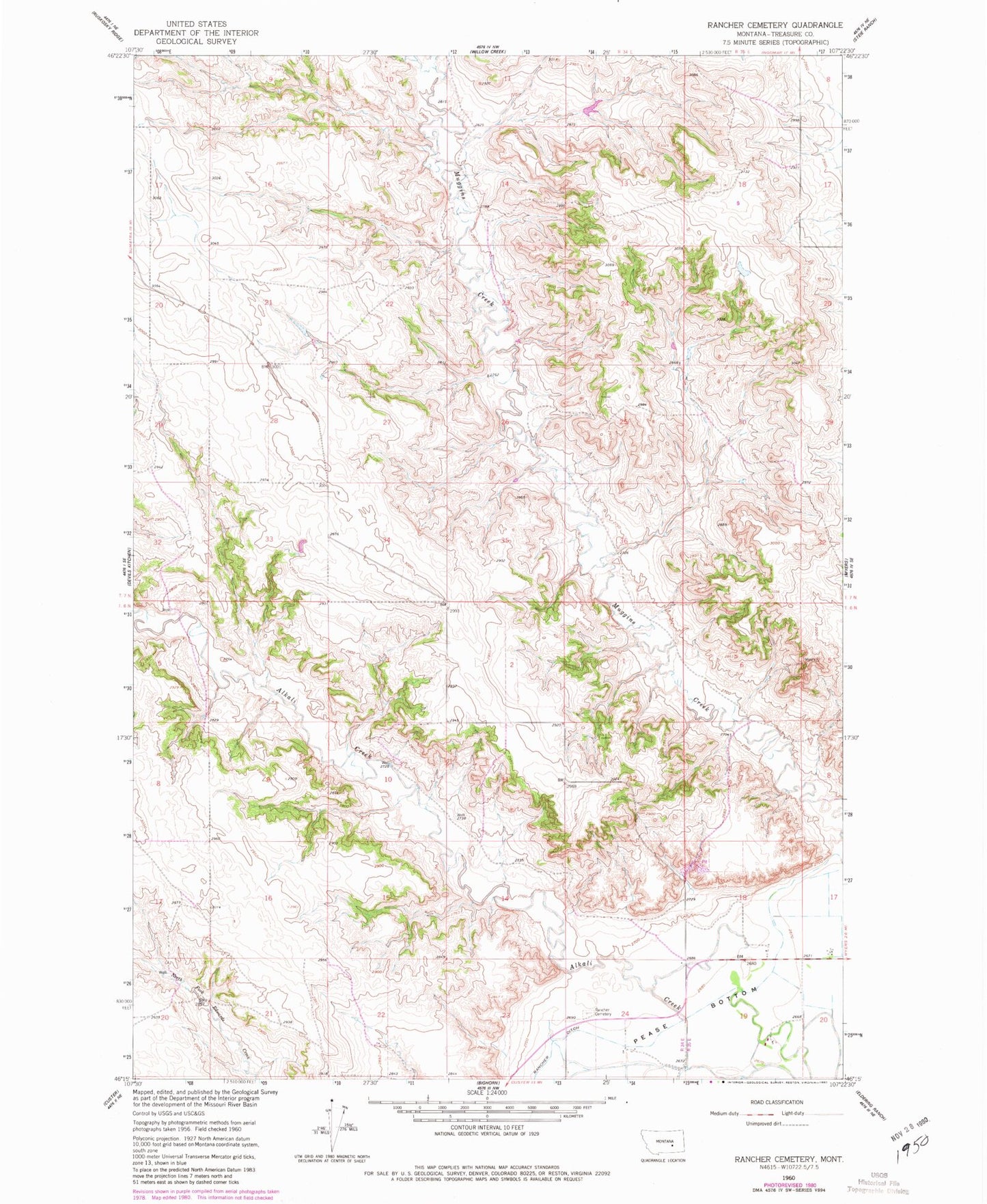
Historical USGS topographic quad map of Rancher Cemetery in the state of Montana. Map scale may vary for some years, but is generally around 1:24,000. Print size is approximately 24" x 27"
This quadrangle is in the following counties: Treasure.
The map contains contour lines, roads, rivers, towns, and lakes. Printed on high-quality waterproof paper with UV fade-resistant inks, and shipped rolled.
Contains the following named places: 06N34E01CBDC01 Well, 06N34E13DBCB01 Well, 06N35E07BAAC01 Well, 06N35E08BBA_01 Spring, 07N34E24DDDD01 Well, Alkali Creek School, Mouats School, North Treasure Division, Pease Bottom, Pine Ridge School, Rancher, Rancher Cemetery, Rancher Ditch, Rancher Post Office