MyTopo
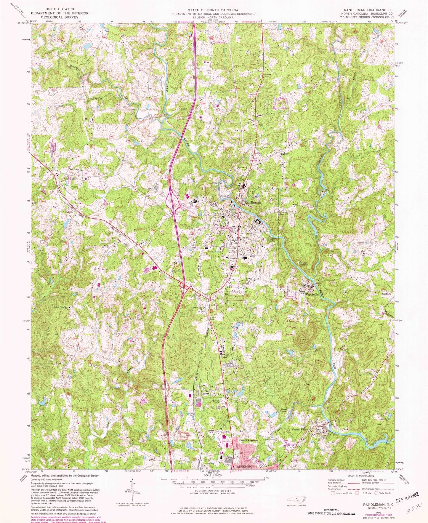
Classic USGS Randleman North Carolina 7.5'x7.5' Topo Map
Couldn't load pickup availability
Historical USGS topographic quad map of Randleman in the state of North Carolina. Typical map scale is 1:24,000, but may vary for certain years, if available. Print size: 24" x 27"
This quadrangle is in the following counties: Randolph.
The map contains contour lines, roads, rivers, towns, and lakes. Printed on high-quality waterproof paper with UV fade-resistant inks, and shipped rolled.
Contains the following named places: Bob Branch, Forest Park Church, Harshaw Church, Little Polecat Creek, Midway Church, Muddy Creek, New Market, New Salem Church, Old Union Church, Polecat Creek, Randolph Memorial Park, Saint Peters Church, South Plainfield Church, White Hall Church, Carl Hamlett Lake, Carl Hamlett Lake Dam, Cox Lake Dam, Cox Lake, East Hamlett, East Hamlett Lake, Hylton Dam, Hylton Lake, Richardson Lake Dam, Richardson Lake, Worthville Lake Dam, Worthville Lake, Randleman City Lake, Randleman City Lake Dam, Oakwinds Lake, Oakwinds Dam, Camp Nawaka Lake, Camp Nawaka Lake Dam Number One, East Buttke, East Buttke Dam, Davis Lake Dam, Davis Lake, Dayspring, New Market Elementary School, Randleman High School, Randleman Middle School, Randleman Elementary School, Hasketts Creek, Penwood Branch, WMAG-FM (High Point), WZOO-AM (Asheboro), WGHP-TV (High Point), WFMY-TV (Greensboro), WGGT-TV (Greensboro), Central Falls, Randleman, Salem, Sophia, Worthville, Township of Randleman, City of Randleman, Randleman Fire Department, Asheboro Fire Department Station 2, Westside Volunteer Fire Department Station 16, Asheboro Quarry, Randleman Police Department, Randleman Post Office, Sophia Post Office


