MyTopo
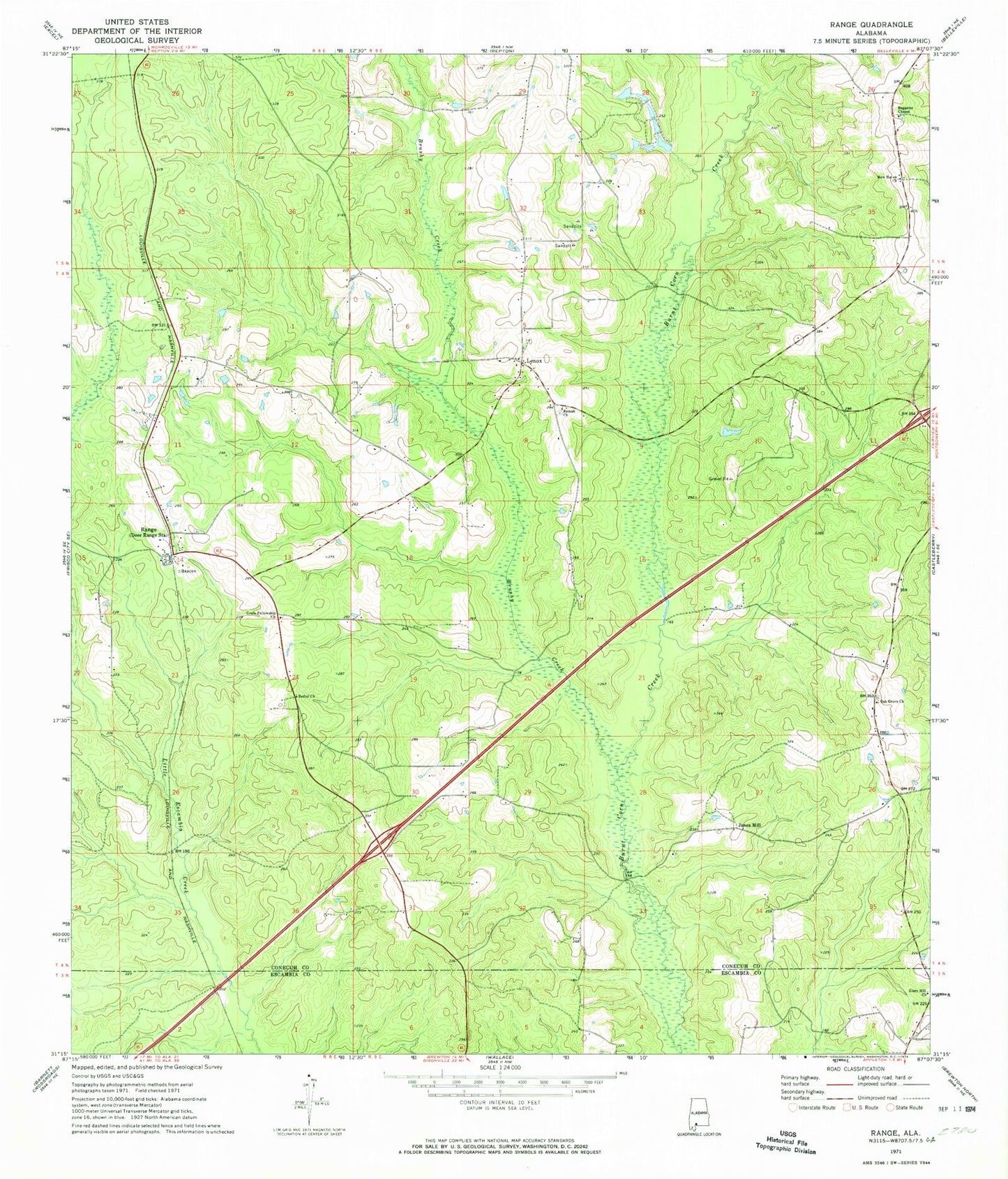
Classic USGS Range Alabama 7.5'x7.5' Topo Map
Couldn't load pickup availability
Historical USGS topographic quad map of Range in the state of Alabama. Map scale may vary for some years, but is generally around 1:24,000. Print size is approximately 24" x 27"
This quadrangle is in the following counties: Conecuh, Escambia.
The map contains contour lines, roads, rivers, towns, and lakes. Printed on high-quality waterproof paper with UV fade-resistant inks, and shipped rolled.
Contains the following named places: Baggetts Chapel, Bethel Church, Brushy Creek, Burnt Corn Creek Oil Field, Freeman Lake, Freeman Lake Dam, Grace Fellowship Church, Hartwood Church, House of Prayer Holiness Church, James School, Janes Mill, Lenox, Lenox Baptist Church, Lenox Post Office, Lenox Springhill Volunteer Fire Department, New Haven Church, New Hopewell Church, Oak Grove Church, Ramah Cemetery, Ramah Church, Range, Range Cemetery, Range Church, Range Post Office, Range Volunteer Fire Department, Rattlers Creek, Repton Division, Timberlands Landfill, ZIP Codes: 36454, 36473