MyTopo
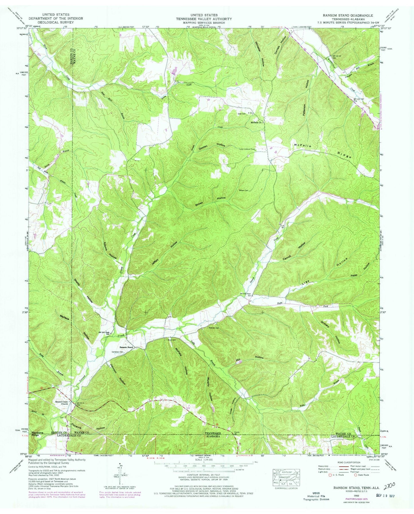
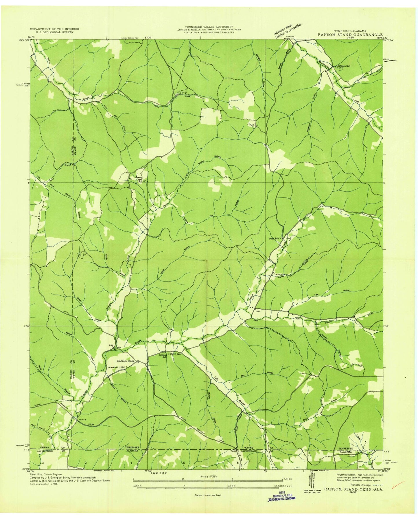
Classic USGS Ransom Stand Tennessee 7.5'x7.5' Topo Map
Couldn't load pickup availability
Historical USGS topographic quad map of Ransom Stand in the states of Tennessee, Alabama. Map scale may vary for some years, but is generally around 1:24,000. Print size is approximately 24" x 27"
This quadrangle is in the following counties: Hardin, Lauderdale, Wayne.
The map contains contour lines, roads, rivers, towns, and lakes. Printed on high-quality waterproof paper with UV fade-resistant inks, and shipped rolled.
Contains the following named places: Adams Hollow, Brown Cemetery, Brown Hollow, Burns Branch, Carroll Hollow, Centenary Cemetery, Daniels Hollow, Dodd School, Doolan Hollow, Florence Hollow, Gean Cemetery, Grassy Creek, Grassy Creek School, Grocery Hollow, Hand Branch, Highway 69 Volunteer Fire Department, Jeffery Hollow, Jeffery Hollow Branch, Johnson Hollow, Johnson Mill Branch, Johnson School, Jones Hollow, Lige Hollow, Lutts Lookout Tower, McFalls Cemetery, McFalls Church, McFalls Hollow, McFalls Ridge, Mill Hollow, Murphy Hollow, Old Baptist Cemetery, Patsy Hollow, Patterson Hollow, Piney Grove Church, Prospect Church, Ransom Stand, Right Fork Second Creek, Sage, Second Creek Church, Shelby Hollow, Stave Mill Branch, Stout, Stout Cemetery, Stribling Cemetery, Tally Branch, Wallace Hollow, Weatherford, Weatherford-Bear Dam Number One B, White Hollow, ZIP Code: 38471


