MyTopo
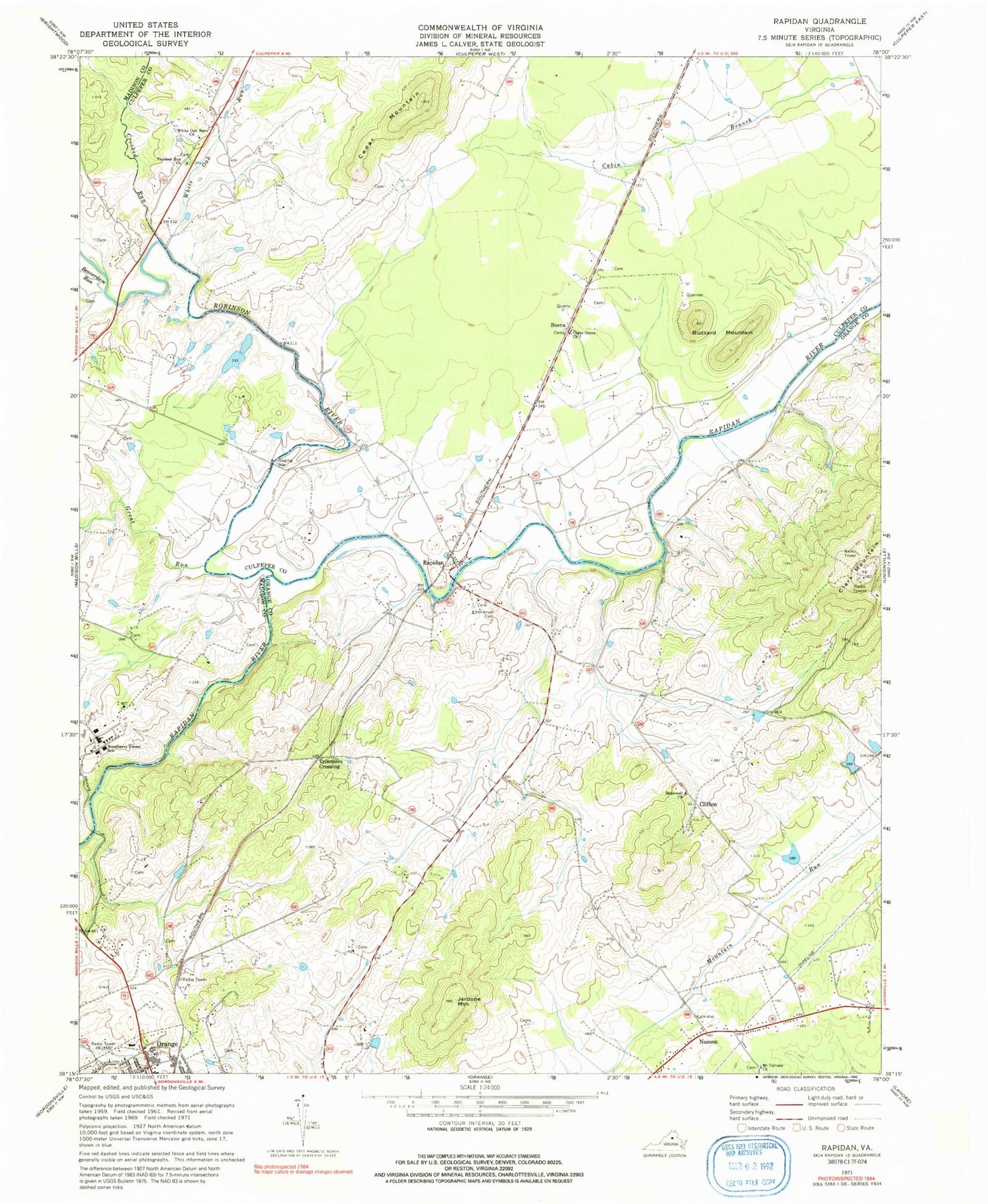
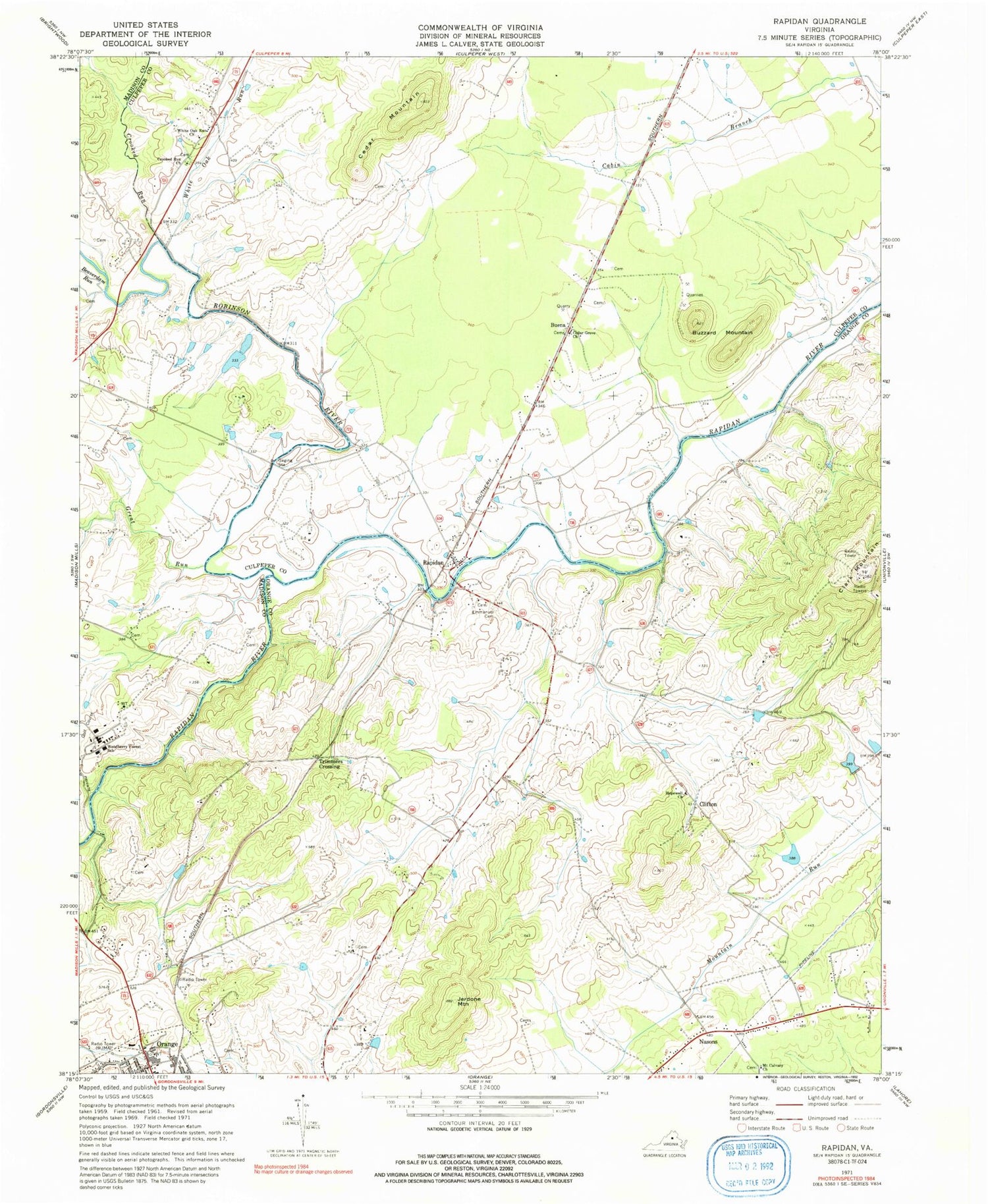
Classic USGS Rapidan Virginia 7.5'x7.5' Topo Map
Couldn't load pickup availability
Historical USGS topographic quad map of Rapidan in the state of Virginia. Typical map scale is 1:24,000, but may vary for certain years, if available. Print size: 24" x 27"
This quadrangle is in the following counties: Culpeper, Madison, Orange.
The map contains contour lines, roads, rivers, towns, and lakes. Printed on high-quality waterproof paper with UV fade-resistant inks, and shipped rolled.
Contains the following named places: Beaverdam Run, Buzzard Mountain, Cedar Grove Church, Crooked Run, Crooked Run Church, Emmanuel Cemetery, Great Run, Hopewell Church, Jerdone Mountain, Mount Calvary Church, White Oak Run, White Oak Run Church, Woodberry Forest School, Robinson River, Hartland-Hall Dam Number Two, Upper Lake, Linden Dam, Linden Pond, Burrus Dam, Burrus Lake, Emmanuel Episcopal Church, Larmond, Mount Calvary Church Cemetery, Willis Bridge, Faith Tabernacle Pentecostal Holiness Church, Orange Church of the Nazarene, Orange Village Shopping Center, Saint Johns Catholic Church, Emmanuel Church, Rapidian Historic District, Buena, Cedar Mountain, Clifton, Nasons, Rapidan, Clark Mountain, Trimmers Crossing, WJMA-AM (Orange), WJMA-FM (Orange), Woodberry Forest Plantation (historical), District 3, Rapidan Volunteer Fire and Rescue Department, Arrowpoint Airport, Mitchell Quarry, Aston Quarry, Virginia Black Granite Quarry, Coffeewood Correctional Center, Rapidan Post Office, Woodberry Forest Post Office


