MyTopo
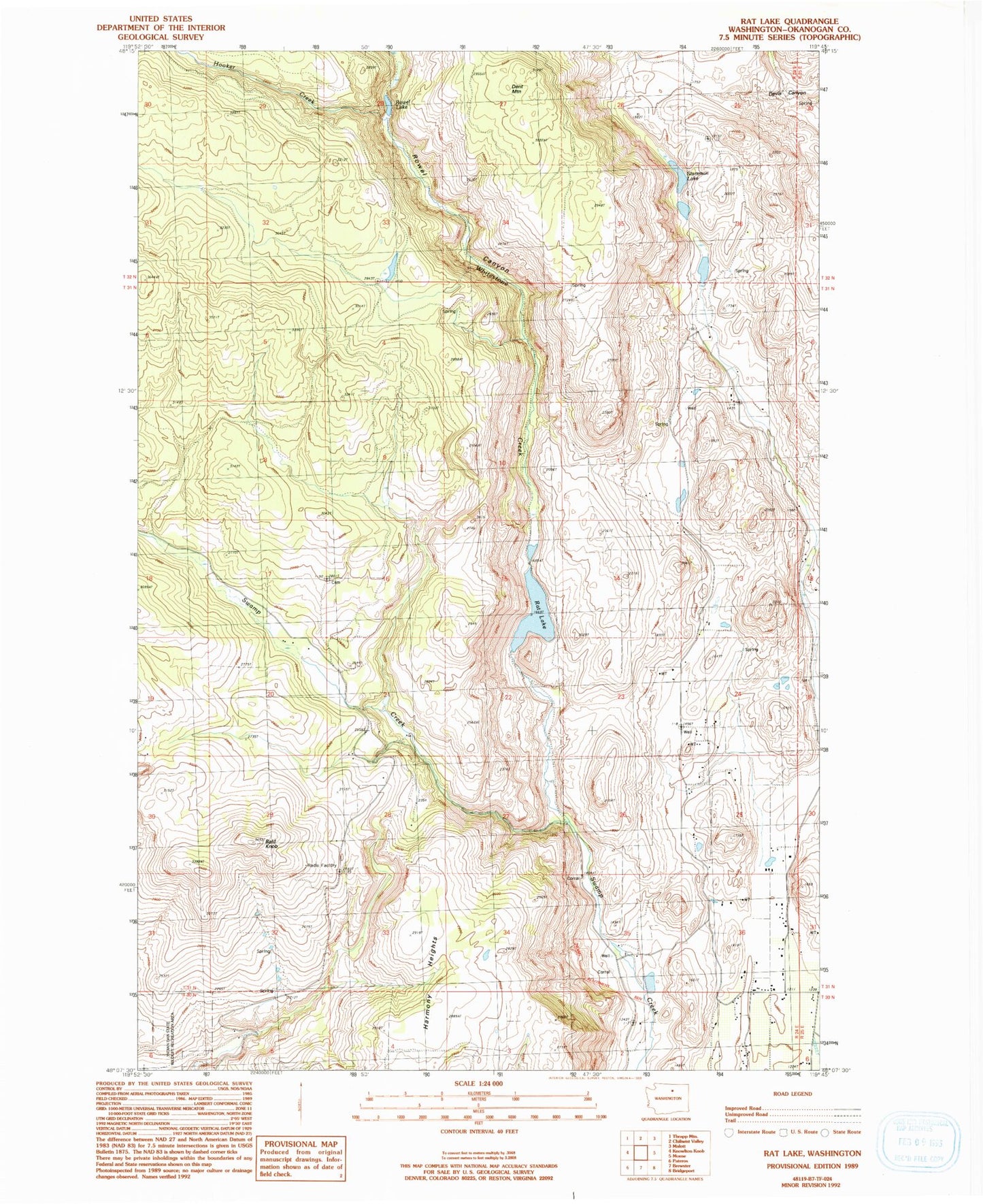
Classic USGS Rat Lake Washington 7.5'x7.5' Topo Map
Regular price
$16.95
Regular price
Sale price
$16.95
Unit price
per
Couldn't load pickup availability
Historical USGS topographic quad map of Rat Lake in the state of Washington. Map scale may vary for some years, but is generally around 1:24,000. Print size is approximately 24" x 27"
This quadrangle is in the following counties: Okanogan.
The map contains contour lines, roads, rivers, towns, and lakes. Printed on high-quality waterproof paper with UV fade-resistant inks, and shipped rolled.
Contains the following named places: Bald Knob, Brewster-Wakefield Division, Dent Mountain, Harmony Heights, Hooker Creek, Rat Lake, Rat Lake Dam, Rowel Canyon, Rowel Lake, Starzman Lake, Whitestone Creek