MyTopo
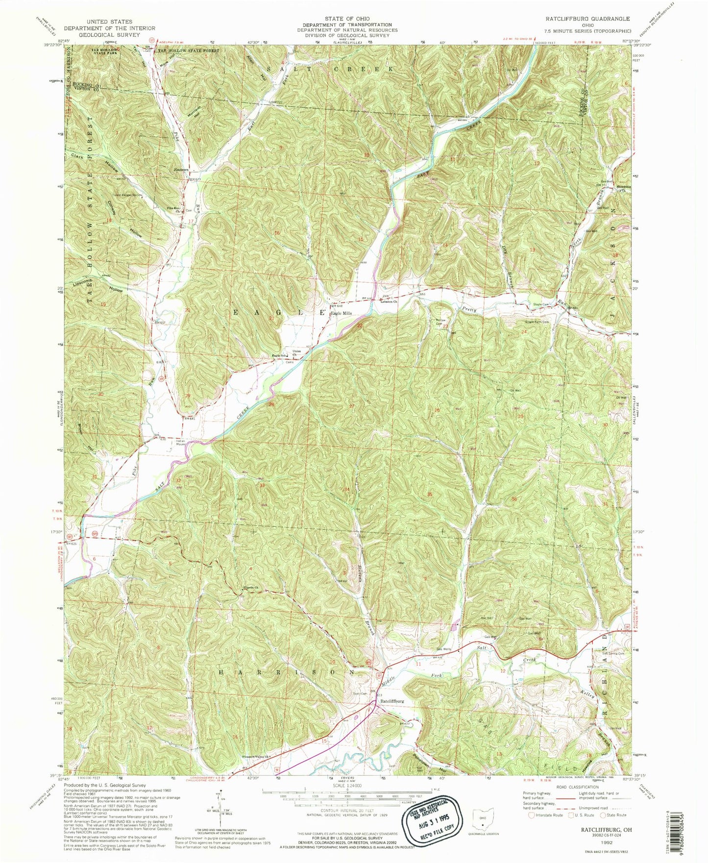
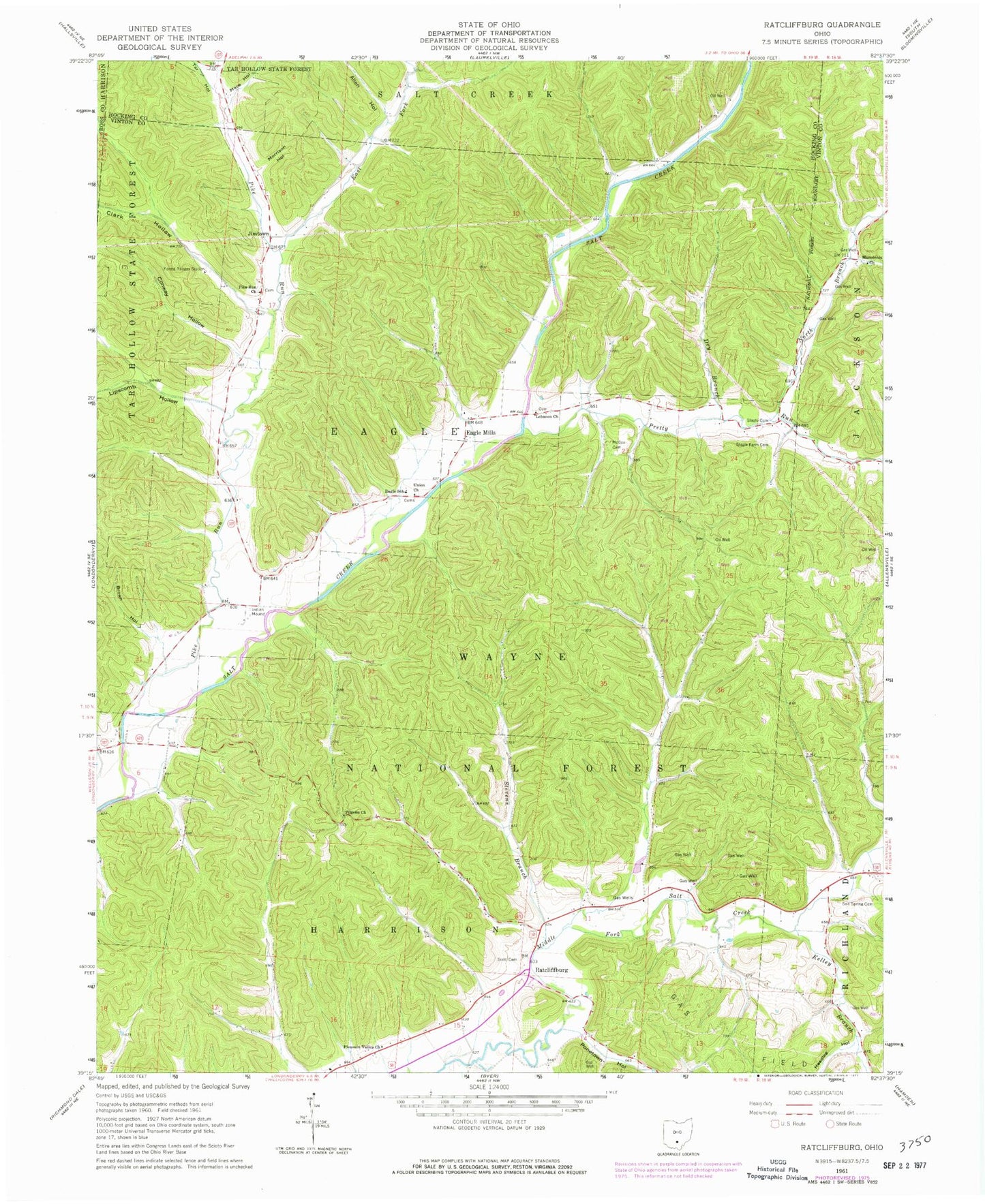
Classic USGS Ratcliffburg Ohio 7.5'x7.5' Topo Map
Couldn't load pickup availability
Historical USGS topographic quad map of Ratcliffburg in the state of Ohio. Typical map scale is 1:24,000, but may vary for certain years, if available. Print size: 24" x 27"
This quadrangle is in the following counties: Hocking, Ross, Vinton.
The map contains contour lines, roads, rivers, towns, and lakes. Printed on high-quality waterproof paper with UV fade-resistant inks, and shipped rolled.
Contains the following named places: Allen Hollow, Brown Hollow, Clark Hollow, Conway Hollow, Dry Branch, Eagle School, East Fork Pike Run, Headleg Hollow, Lebanon Church, Lipscomb Hollow, Mace Hollow, Macedonia Church, McGee Cemetery, Morrison Hollow, Pike Run, Pike Run Church, Pilgrim Church, Pleasant Valley Church, Ponetown Hollow, Salt Spring Cemetery, Scott Cemetery, Slagle Cemetery, Slagle Farm Cemetery, Stevens Branch, Tar Hollow, Union Church, Beech Grove School (historical), Clark School (historical), Cox (historical), Eagle Chapel (historical), Persimmon School (historical), Pine Ridge School (historical), Saint Pauls Church (historical), Timmons School (historical), Kelley Branch, Eagle Mills, Ratcliffburg, Jimtown, North Branch Pretty Run, Pretty Run, Township of Eagle, High Hill School (historical), Lebanon Cemetery, Pike Run Cemetery, Union Cemetery, Laurelville Fire Department Station 3


