MyTopo
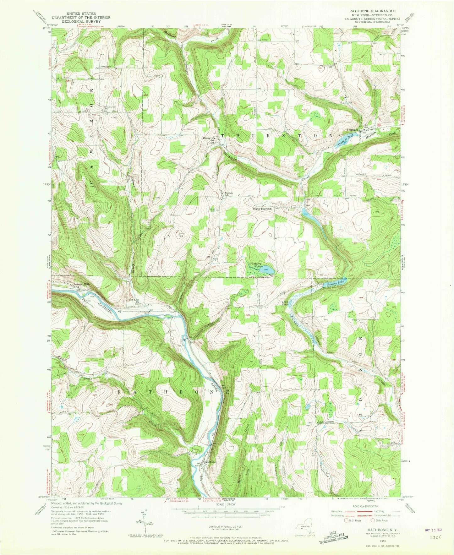
Classic USGS Rathbone New York 7.5'x7.5' Topo Map
Couldn't load pickup availability
Historical USGS topographic quad map of Rathbone in the state of New York. Map scale may vary for some years, but is generally around 1:24,000. Print size is approximately 24" x 27"
This quadrangle is in the following counties: Steuben.
The map contains contour lines, roads, rivers, towns, and lakes. Printed on high-quality waterproof paper with UV fade-resistant inks, and shipped rolled.
Contains the following named places: Aldrich Cemetery, Aldrich School, Beaton School, Branch School, Bromley School, Cameron Hill Cemetery, Cameron Hill School, Cameron Mills, Cameron Mills Cemetery, Cranberry Pond, Duck Pond, Goodhue Lake, Helmer Creek, Jones Corners, Oskonsa Falls, Perry School, Phillips School, Rathbone, Rathbone Cemetery, Risingville, Risingville Cemetery, Risingville Methodist Church, Saunders School, Severence School, Shauger School, South Hill School, South Thurston, The Gulf, Thurston, Thurston Cemetery, Thurston Pond, Thurston Volunteer Fire Company, Town Line Church, Town of Rathbone, Town of Thurston, Tracy Creek, Tracy Creek School, Victory Hill Farm, White School, ZIP Code: 14820


