MyTopo
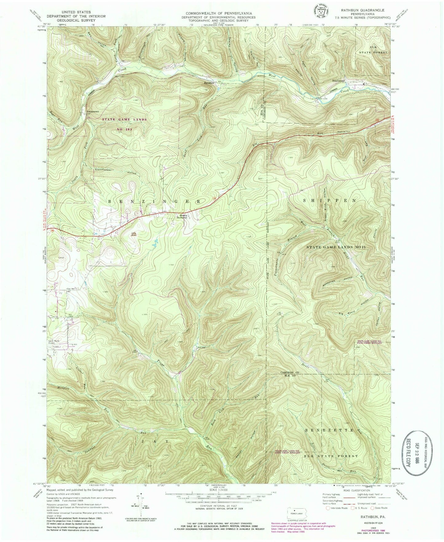
Classic USGS Rathbun Pennsylvania 7.5'x7.5' Topo Map
Couldn't load pickup availability
Historical USGS topographic quad map of Rathbun in the state of Pennsylvania. Typical map scale is 1:24,000, but may vary for certain years, if available. Print size: 24" x 27"
This quadrangle is in the following counties: Cameron, Elk.
The map contains contour lines, roads, rivers, towns, and lakes. Printed on high-quality waterproof paper with UV fade-resistant inks, and shipped rolled.
Contains the following named places: Bear Run, Bear Run Camp, Beechwood, Bell Hollow, Big Basin Hollow, Frenchmans Branch, Friddle Hollow, Goetz Summit, Hellfire Run, Hoover Hollow, Lecker Run, Little Bear Run, North Fork West Creek, Rakestraw Hollow, Reed Hollow, Rock Lick Run, Sand Lick Run, Sawdust Run, Schoolhouse Hollow, Seeley Hollow, South Fork West Creek, Steinhopper Hollow, Sugar Bush Hollow, Warner Hollow, Bear Run, Jordan Hollow, Rathbun School, Rathbun, Swissmont, Hemlock Station, Rathbun Station, State Game Lands Number 293, Markert Cemetery


