MyTopo
Classic USGS Rattlesnake Butte California 7.5'x7.5' Topo Map
Couldn't load pickup availability
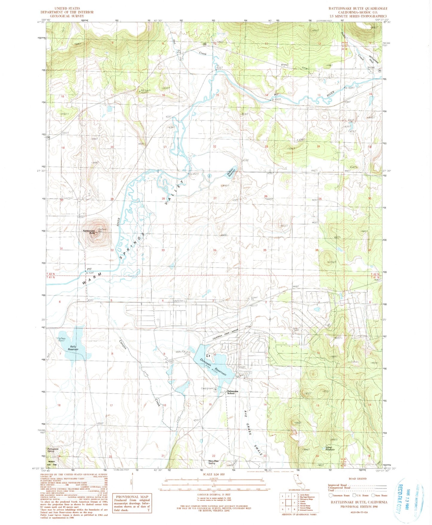
Historical USGS topographic quad map of Rattlesnake Butte in the state of California. Map scale may vary for some years, but is generally around 1:24,000. Print size is approximately 24" x 27"
This quadrangle is in the following counties: Modoc.
The map contains contour lines, roads, rivers, towns, and lakes. Printed on high-quality waterproof paper with UV fade-resistant inks, and shipped rolled.
Contains the following named places: California Pines, California Pines Airport, California Pines Census Designated Place, California Pines Lake Fire Station, Canyon Creek, Delmorma School, Donovan 179 Dam, Donovan Reservoir, Hot Creek, Kelly Reservoir, Lindauer Concrete 1110 Dam, Mary Pete Spring, McBrien 110 Dam, McBrien Reservoir, Noble Creek, Rattlesnake Butte, Rye Grass Swale, Signal Reservoir