MyTopo
Classic USGS Rattlesnake Hill Arizona 7.5'x7.5' Topo Map
Regular price
$16.95
Regular price
Sale price
$16.95
Unit price
per
Couldn't load pickup availability
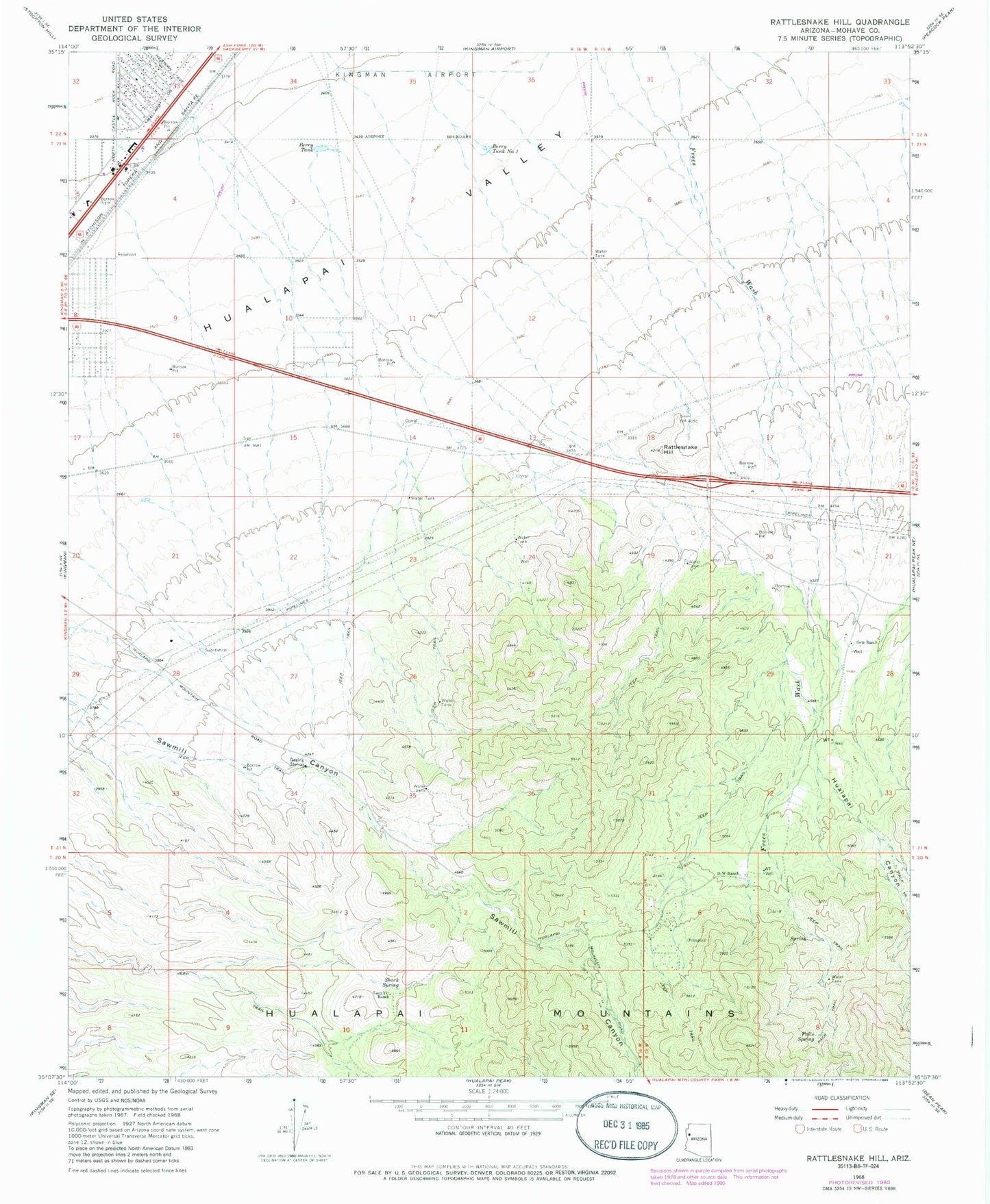
Historical USGS topographic quad map of Rattlesnake Hill in the state of Arizona. Map scale may vary for some years, but is generally around 1:24,000. Print size is approximately 24" x 27"
This quadrangle is in the following counties: Mohave.
The map contains contour lines, roads, rivers, towns, and lakes. Printed on high-quality waterproof paper with UV fade-resistant inks, and shipped rolled.
Contains the following named places: Berry Railroad Station, Berry Tank, Berry Tank Number Two, D-W Ranch, Falls Spring, Getz Ranch, Hualapai Canyon, Lady Y U Ranch, Lazy Y U Census Designated Place, Pinion Pine Fire Department, Pinion Pines Census Designated Place, Rattlesnake Hill, Shack Spring