MyTopo
Classic USGS Rattlesnake Hill Montana 7.5'x7.5' Topo Map
Regular price
$16.95
Regular price
Sale price
$16.95
Unit price
per
Couldn't load pickup availability
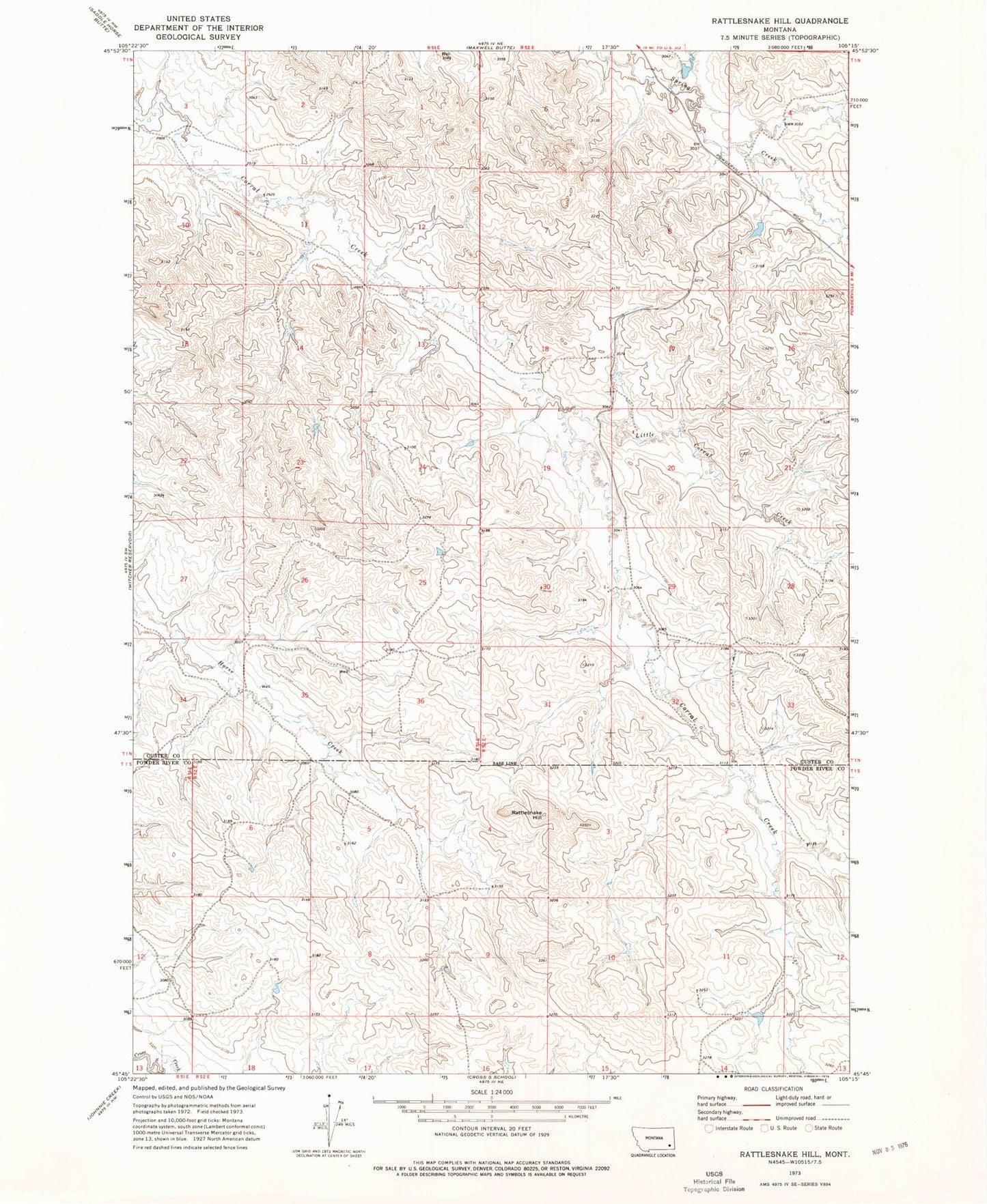
Historical USGS topographic quad map of Rattlesnake Hill in the state of Montana. Map scale may vary for some years, but is generally around 1:24,000. Print size is approximately 24" x 27"
This quadrangle is in the following counties: Custer, Powder River.
The map contains contour lines, roads, rivers, towns, and lakes. Printed on high-quality waterproof paper with UV fade-resistant inks, and shipped rolled.
Contains the following named places: 01N20E09CCCD01 Well, 01N51E34ADDA01 Well, 01N52E33BBBC01 Well, 01S52E03ADAA01 Well, 01S52E08CCDA01 Well, 01S52E11CDBB01 Well, L Krutzfeldt Number 2 Dam, Little Corral Creek, Rattlesnake Hill