MyTopo
Classic USGS Rattlesnake Mountain Montana 7.5'x7.5' Topo Map
Regular price
$16.95
Regular price
Sale price
$16.95
Unit price
per
Couldn't load pickup availability
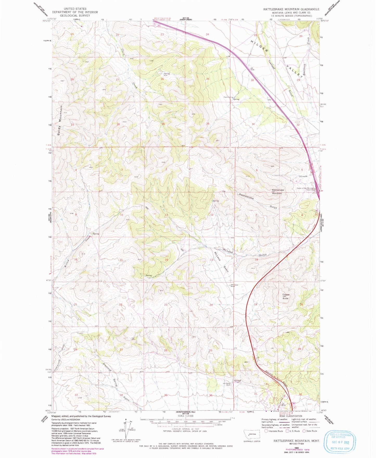
Historical USGS topographic quad map of Rattlesnake Mountain in the state of Montana. Map scale may vary for some years, but is generally around 1:24,000. Print size is approximately 24" x 27"
This quadrangle is in the following counties: Lewis and Clark.
The map contains contour lines, roads, rivers, towns, and lakes. Printed on high-quality waterproof paper with UV fade-resistant inks, and shipped rolled.
Contains the following named places: 12N03W31DDAC01 Well, 12N03W31DDBD01 Well, Copper Butte, Gates of the Mountains and the Bear Tooth Historical Marker, KBLL-FM (Helena), KMBB-FM (Helena), McLeod Basin, Old Synnes Ranch, Old Thorne Ranch, Payne Camp, Rattlesnake Mountain, Sawmill Gulch