MyTopo
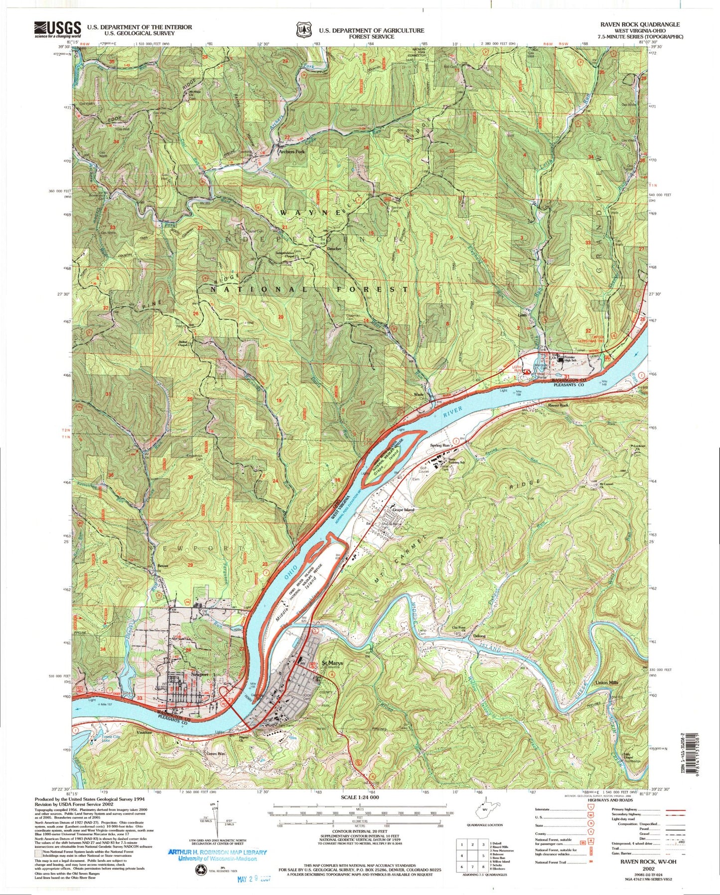
Classic USGS Raven Rock West Virginia 7.5'x7.5' Topo Map
Couldn't load pickup availability
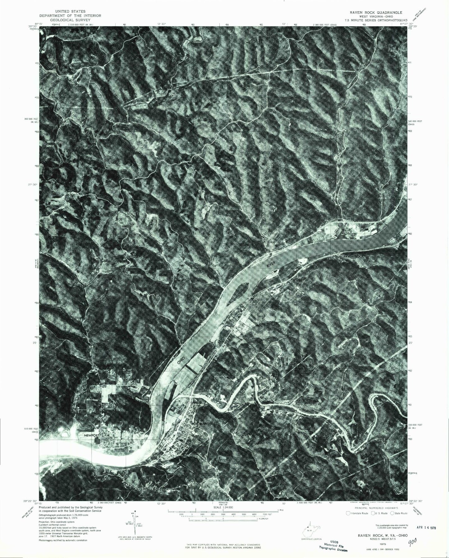
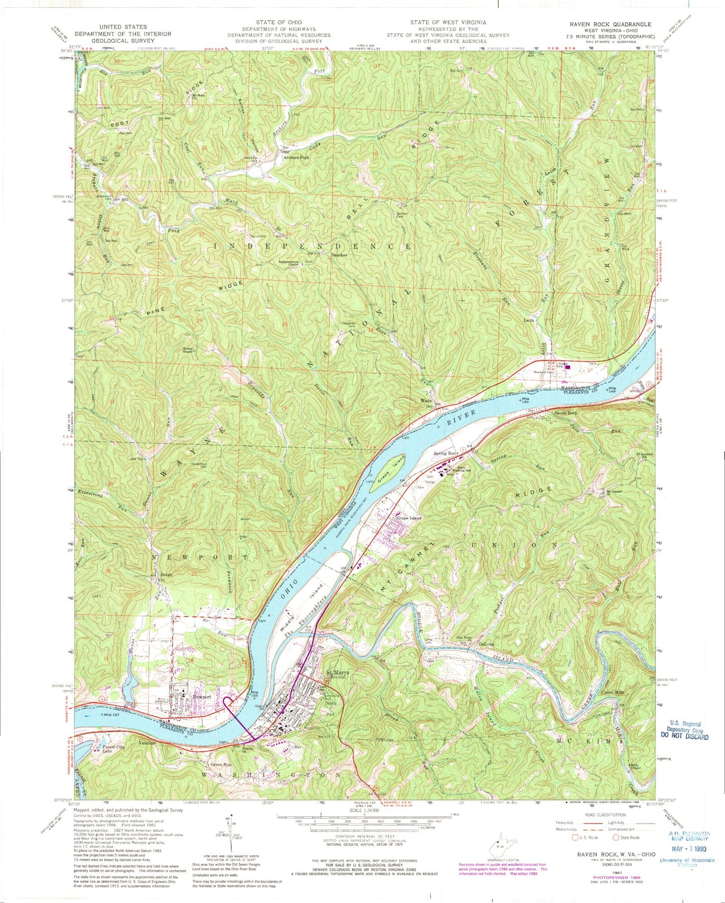
Historical USGS topographic quad map of Raven Rock in the states of West Virginia, Ohio. Typical map scale is 1:24,000, but may vary for certain years, if available. Print size: 24" x 27"
This quadrangle is in the following counties: Pleasants, Washington.
The map contains contour lines, roads, rivers, towns, and lakes. Printed on high-quality waterproof paper with UV fade-resistant inks, and shipped rolled.
Contains the following named places: Furgeson Lane, Broad Run, Clay Point Church, Eddy Chapel, Fishpot Run, Forest City Lake, Grape Island, Java Run, Lamp Cemetery, McKim Creek, Middle Island, Middle Island Creek, Mount Carmel United Methodist Church, Mount Carmel Ridge, Park School (historical), Pilgrim Church, Point Lookout United Methodist Church, Raven Rock, Riggs Run, Saint Marys, Spring Run, The Thoroughfare, Willow Island Creek, Wolf Run, West Virginia State Training School, Independent Order of Odd Fellows Cemetery, DeLong, Grape Island, Green Run, Spring Run, Union Mills, Vaucluse, Saint Marys Seaplane Base, WVVW-AM (Saint Marys), WRRR-FM (Saint Marys), Bradfield Cliff Spring, Broad Run School (historical), Clay Point Cemetery, George Street Church of Christ, Hi Carpenter Memorial Bridge, Lobell School (historical), Mount Carmel Cemetery, Pickens Bottom, Pleasants County Courthouse, Pleasants County Public Library, Point Lookout United Brethren Church (historical), Raven Rock United Methodist Church, Saint Marys Church of the Nazarene, Saint Marys Elementary School, Saint Marys First Baptist Church, Saint Marys High School, Saint Marys Post Office, Saint Marys United Presbyterian Church, Union Mills School (historical), Willow Island School (historical), Wolf Run School (historical), District C, Saint Mary's Apostolic School, Mid - Ohio Valley Technical Institute, City of Saint Marys, Saint Marys Volunteer Fire Department, Pleasants County Emergency Ambulance Authority 1, Saint Marys Golf Club, Saint Marys Correctional Center, Middle Island Creek Bridge, Old Hi Carpenter Bridge, Pleasants County Sheriff's Office, Saint Marys Police Department, West Virginia State Police Troop 4 - Saint Marys Detachment, Newport Elementary School, Murphy, Reynolds Landing, Murphys Landing, Schoosters Landing, Independence Landing, Hawes Landing, Newport High School (historical), Archers Fork, Barnes Hollow, Bell Cemetery, Bell Ridge, Bethel Chapel, Bevan, Bowersock Cemetery, Cady Run, Chapman Cemetery, Coal Run, Danas Run, Davis Run, Deucher, Eddy Ridge, Elephant Run, Elk Run, Ferguson Run, German Cemetery, Independence Chapel, Kesselring Run, Kinderhook Cemetery, Leith, Leith Run, Mount Hope Church, Murdock Cemetery, Newport, Oxbow Run, Reas Run, Reynolds Run, Sheets Run, Taylor Cemetery, Valley Church, Wade, Ward Branch, Sheets Ripple, Independence Township Hall, River Trail, Leith Run Recreation Area, Leith Run Recreation Site, Township of Independence, Bell Church (historical), Holdren Cemetery, Huffman Cemetery, Independence Chapel Cemetery, Mount Hope Church Cemetery, Newport Cemetery, Newport Volunteer Fire Department, Newport Census Designated Place, Newport Post Office, Furgeson Lane, Broad Run, Clay Point Church, Eddy Chapel, Fishpot Run, Forest City Lake, Grape Island, Java Run, Lamp Cemetery, McKim Creek, Middle Island, Middle Island Creek, Mount Carmel United Methodist Church, Mount Carmel Ridge, Park School (historical), Pilgrim Church, Point Lookout United Methodist Church, Raven Rock, Riggs Run, Saint Marys, Spring Run, The Thoroughfare, Willow Island Creek, Wolf Run, West Virginia State Training School, Independent Order of Odd Fellows Cemetery, DeLong, Grape Island, Green Run, Spring Run, Union Mills, Vaucluse, Saint Marys Seaplane Base, WVVW-AM (Saint Marys), WRRR-FM (Saint Marys), Bradfield Cliff Spring, Broad Run School (historical), Clay Point Cemetery, George Street Church of Christ, Hi Carpenter Memorial Bridge, Lobell School (historical), Mount Carmel Cemetery, Pickens Bottom, Pleasants County Courthouse, Pleasants County Public Library, Point Lookout United Brethren Church (historical), Raven Rock United Methodist Church, Saint Marys Church of the Nazarene, Saint Marys Elementary School, Saint Marys First Baptist Church, Saint Marys High School, Saint Marys Post Office, Saint Marys United Presbyterian Church, Union Mills School (historical), Willow Island School (historical), Wolf Run School (historical), District C, Saint Mary's Apostolic School, Mid - Ohio Valley Technical Institute, City of Saint Marys, Saint Marys Volunteer Fire Department, Pleasants County Emergency Ambulance Authority 1, Saint Marys Golf Club, Saint Marys Correctional Center, Middle Island Creek Bridge, Old Hi Carpenter Bridge, Pleasants County Sheriff's Office, Saint Marys Police Department, West Virginia State Police Troop 4 - Saint Marys Detachment, Newport Elementary School, Murphy, Reynolds Landing, Murphys Landing, Schoosters Landing, Independence Landing, Hawes Landing, Newport High School (historical), Archers Fork, Barnes Hollow, Bell Cemetery, Bell Ridge, Bethel Chapel, Bevan, Bowersock Cemetery, Cady Run, Chapman Cemetery, Coal Run, Danas Run, Davis Run, Deucher, Eddy Ridge, Elephant Run, Elk Run, Ferguson Run, German Cemetery, Independence Chapel, Kesselring Run, Kinderhook Cemetery, Leith, Leith Run, Mount Hope Church, Murdock Cemetery, Newport, Oxbow Run, Reas Run, Reynolds Run, Sheets Run, Taylor Cemetery, Valley Church, Wade