MyTopo
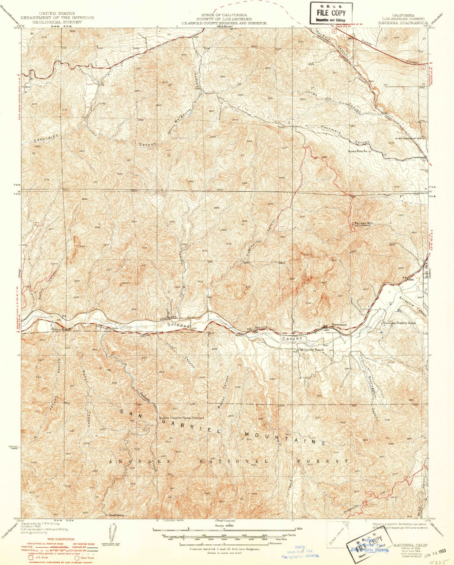
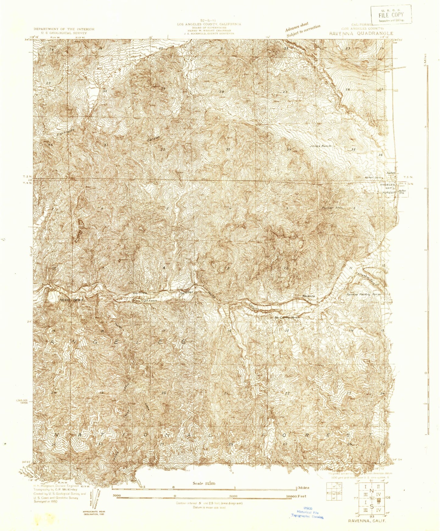
Classic USGS Ravenna California 7.5'x7.5' Topo Map
Couldn't load pickup availability
Historical USGS topographic quad map of Ravenna in the state of California. Typical map scale is 1:24,000, but may vary for certain years, if available. Print size: 24" x 27"
This quadrangle is in the following counties: Los Angeles.
The map contains contour lines, roads, rivers, towns, and lakes. Printed on high-quality waterproof paper with UV fade-resistant inks, and shipped rolled.
Contains the following named places: Acton Community Cemetery, Arrastre Canyon, Bobcat Canyon, Bootleggers Canyon, Fryer Canyon, Hughes Canyon, Indian Canyon, Long Canyon, Maher Canyon, Mattox Canyon, Mill Canyon, Nellus Canyon, Nelson Canyon, Parker Mountain, Quail Spring, Santa Margarita Canyon, Young Canyon, Ravenna, County Detention Camp Number One, Jones Canyon, Little Arrka Campground, Cypress Park, Camp 11 Heliport, Wild Country Picnic Area, Indian Target Shooting Area, Acton School (historical), Glynmildon Ranch, Fryer Ranch (historical), Jones Ranch, McCarthy Ranch, Nelson Ranch, Ravenna Poultry Farm (historical), Three Sisters Rock, Golden Spike Monument, Acton Foursquare Christian Church


