MyTopo
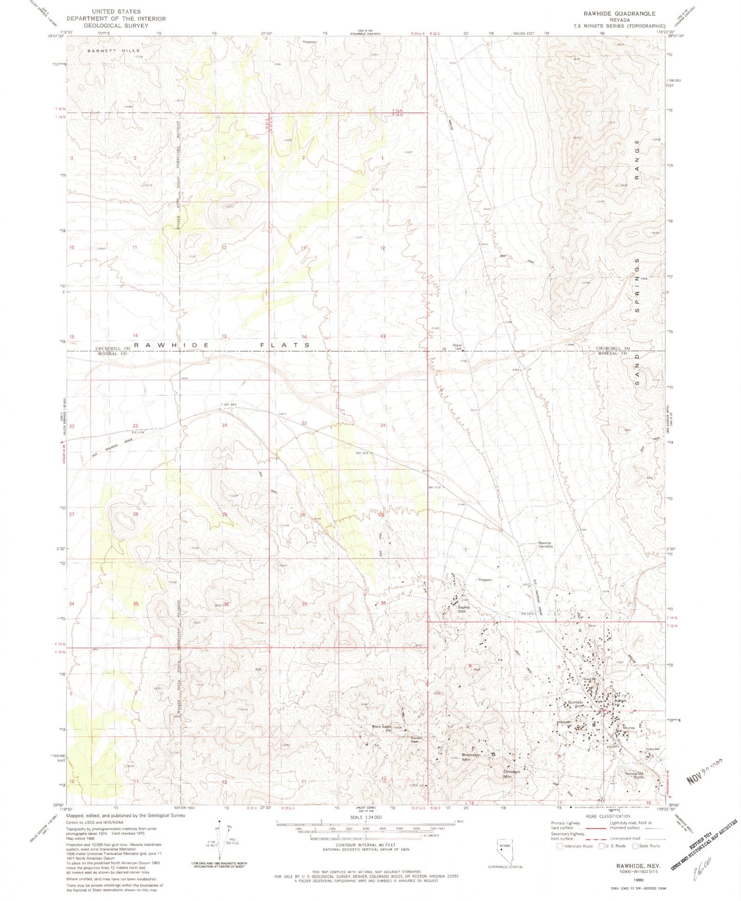
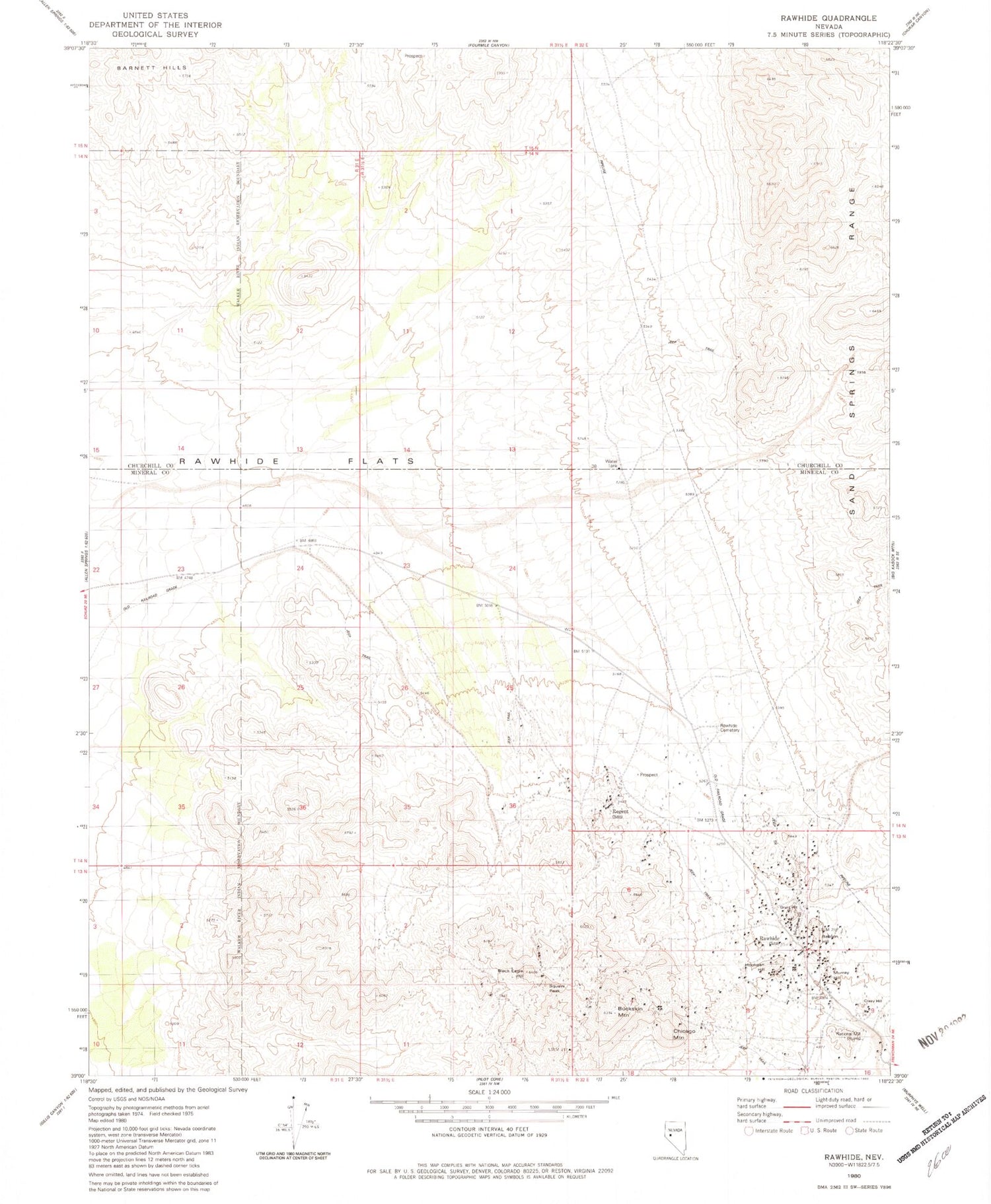
Classic USGS Rawhide Nevada 7.5'x7.5' Topo Map
Couldn't load pickup availability
Historical USGS topographic quad map of Rawhide in the state of Nevada. Map scale may vary for some years, but is generally around 1:24,000. Print size is approximately 24" x 27"
This quadrangle is in the following counties: Churchill, Mineral.
The map contains contour lines, roads, rivers, towns, and lakes. Printed on high-quality waterproof paper with UV fade-resistant inks, and shipped rolled.
Contains the following named places: Balloon Hill, Bethania Mine, Black Eagle Hill, Black Eagle Mine, Buckskin Mountain, Bullskin Mountain Mine, Chicago Mountain, Crazy Hill, Flynn Mine, Gold Reef Mine, Grutt Hill, Grutt Mines, Hooligan Hill, Mascot Mine, Morning Star Mine, Murray Hill, National Mill, National Mill Reservoir, Nevada New Mines, Poor Boy Mine, Rawhide, Rawhide Cemetery, Rawhide Mine, Rawhide Post Office, Rawhide Victor Mine, Regent, Royal Mine, Scheeline Mines, Seminole Regent Mine, Silver Zone Mine, Squaw Peak, Stingaree Gulch, Wash Vein Mine


