MyTopo
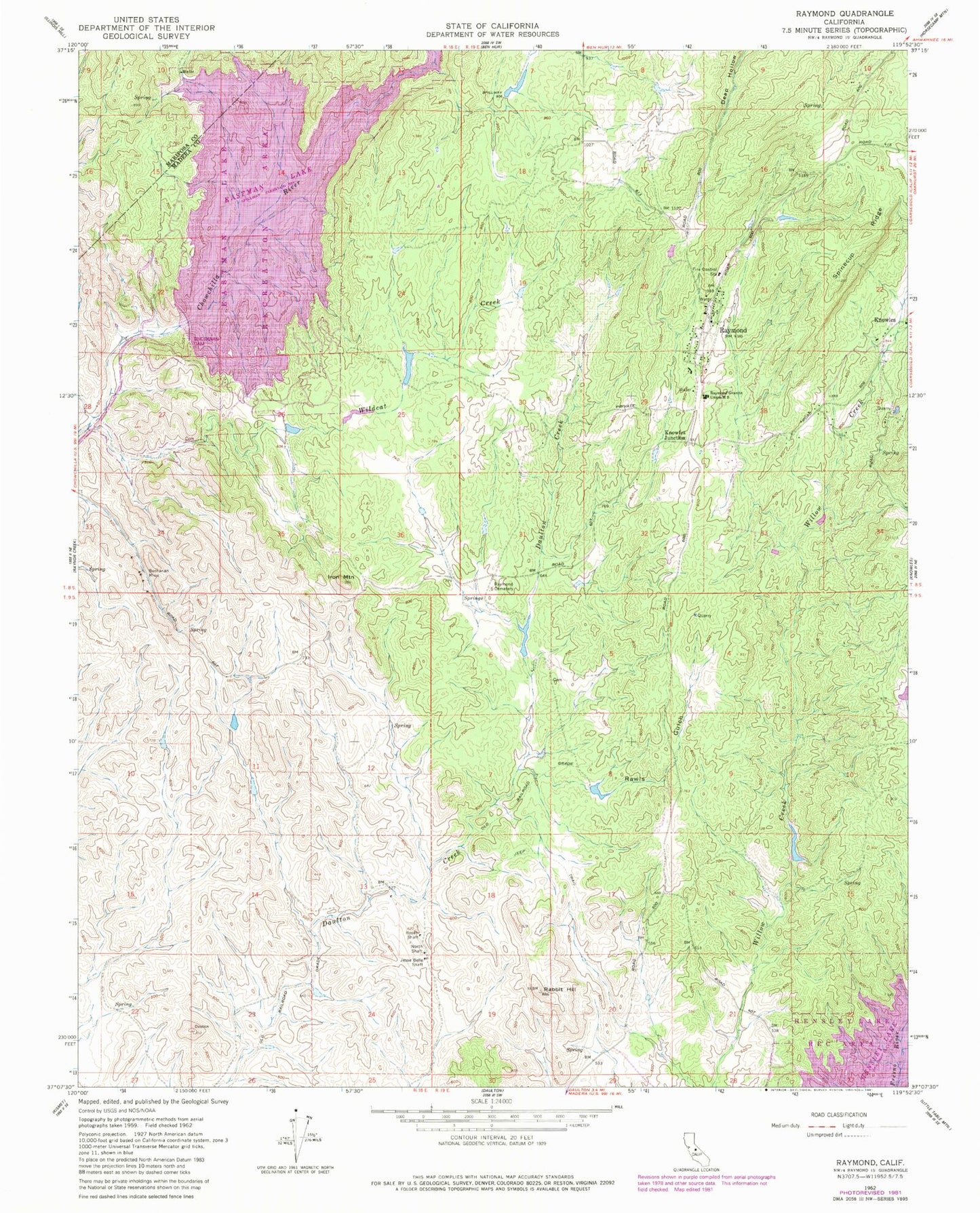
Classic USGS Raymond California 7.5'x7.5' Topo Map
Couldn't load pickup availability
Historical USGS topographic quad map of Raymond in the state of California. Typical map scale is 1:24,000, but may vary for certain years, if available. Print size: 24" x 27"
This quadrangle is in the following counties: Madera, Mariposa.
The map contains contour lines, roads, rivers, towns, and lakes. Printed on high-quality waterproof paper with UV fade-resistant inks, and shipped rolled.
Contains the following named places: Buchanan Mine, Iron Mountain, Jesse Belle Shaft, North Shaft, Rabbit Hill, Rawls Gulch, Raymond Cemetery, Raymond Granite Union High School, Rosati Shaft, Spinecup Ridge, Whisky Creek, Wildcat Creek, Knowles Junction, Raymond, Buchanan Dam, H. V. Eastman Lake, Jesbel (historical), Footman Ranch, Woods Ranch, Hillside (historical), Raymond Post Office, Raymond-Knowles Elementary School, Eastman Lake Recreation Area, Madera County Fire Department Station 15, Department of Forestry and Fire Protection Raymond Station, Raymond Community Church