MyTopo
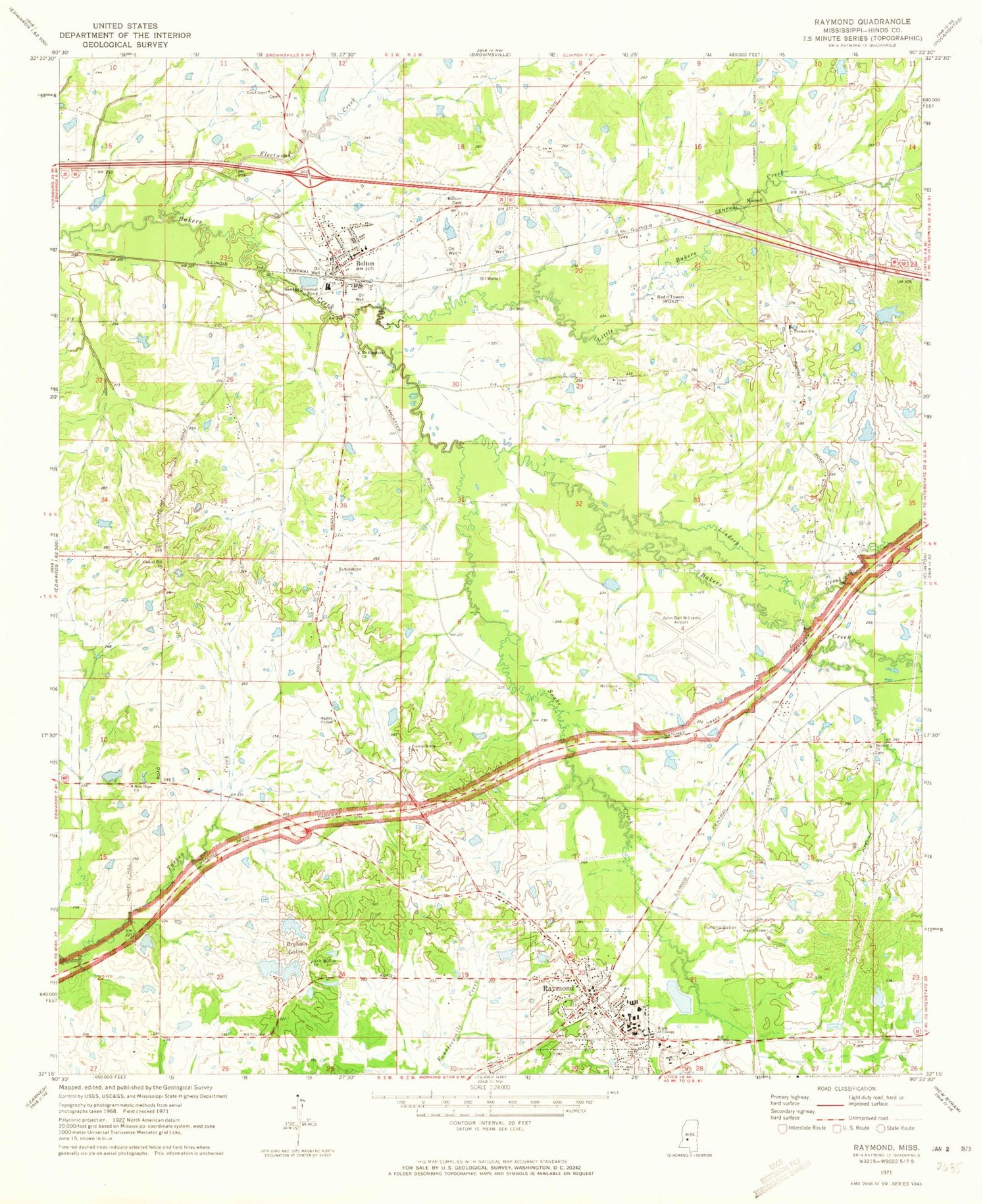
Classic USGS Raymond Mississippi 7.5'x7.5' Topo Map
Couldn't load pickup availability
Historical USGS topographic quad map of Raymond in the state of Mississippi. Map scale may vary for some years, but is generally around 1:24,000. Print size is approximately 24" x 27"
This quadrangle is in the following counties: Hinds.
The map contains contour lines, roads, rivers, towns, and lakes. Printed on high-quality waterproof paper with UV fade-resistant inks, and shipped rolled.
Contains the following named places: Asbury Methodist Church, Bolton, Bolton Attendance Center, Bolton Baptist Church, Bolton Cemetery, Bolton Police Department, Bolton Post Office, Bolton Volunteer Fire Department, Brytana Lakes, Central Hinds Academy, Chapel Hill Church, City of Raymond, Davis Hill Church, El Bethel Baptist Church, First Baptist Church, Fleetwood Creek, Freebird Airport, Gaddis Chapel, Hinds County, Hinds County Agricultural High School, Hinds Junior College, Hulsebosch Lake Dam, Immaculate Conception Catholic Church, John Bell Williams Airport, Lindsey Creek, Little Bakers Creek, Mashburns Pond Dam, Melon Lake Dam, Memorial United Methodist Church, Mount Center Church, Mount Elizabeth Church, Mountain View Baptist Church, New Hope Church, New Mount Zion Baptist Church, New Mount Zion Church, Newman Lake Dam, Norrell, Old Mount Zion Church, Pitmans Mill, Prassel Lake Dam, Prassell Lake Dam, Raymond, Raymond Baptist Church, Raymond High School, Raymond Police Department, Raymond Post Office, Raymond Presbyterian Church, Raymond Public Library, Raymond Sewage Lagoon Dam, Raymond United Methodist Church, Raymond Volunteer Fire Department, Saint Marks Episcopal Church, Saint Marys Episcopal Church, Saint Thomas Church, Saint Thomas School, Snake Creek, Supervisor District 4, Town of Bolton, Turkey Spring, Walter Vinson Lake Dam, Warwick Lake Dam, Watkins Lake Dam, West View, Williams Lake Dam, WOKJ-AM (Jackson), Zion Chapel


