MyTopo
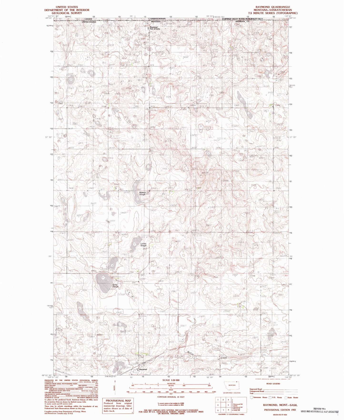
Classic USGS Raymond Montana 7.5'x7.5' Topo Map
Couldn't load pickup availability
Historical USGS topographic quad map of Raymond in the state of Montana. Map scale may vary for some years, but is generally around 1:24,000. Print size is approximately 24" x 27"
This quadrangle is in the following counties: Sheridan.
The map contains contour lines, roads, rivers, towns, and lakes. Printed on high-quality waterproof paper with UV fade-resistant inks, and shipped rolled.
Contains the following named places: 36N54E12DDDD01 Well, 59256, Corkery School, Gibson School, Hasland Number 2 Dam, Lochin Slough, Mattson Slough, Raymond, Raymond Community Hall, Raymond Lutheran Church, Raymond Post Office, Raymond School, Raymond Storage Dam, Saint Raymonds Church, Shermont Electric and Grain, Syme Slough, United States Customs and Border Protection Raymond Port of Entry