MyTopo
Classic USGS Raymond Washington 7.5'x7.5' Topo Map
Couldn't load pickup availability
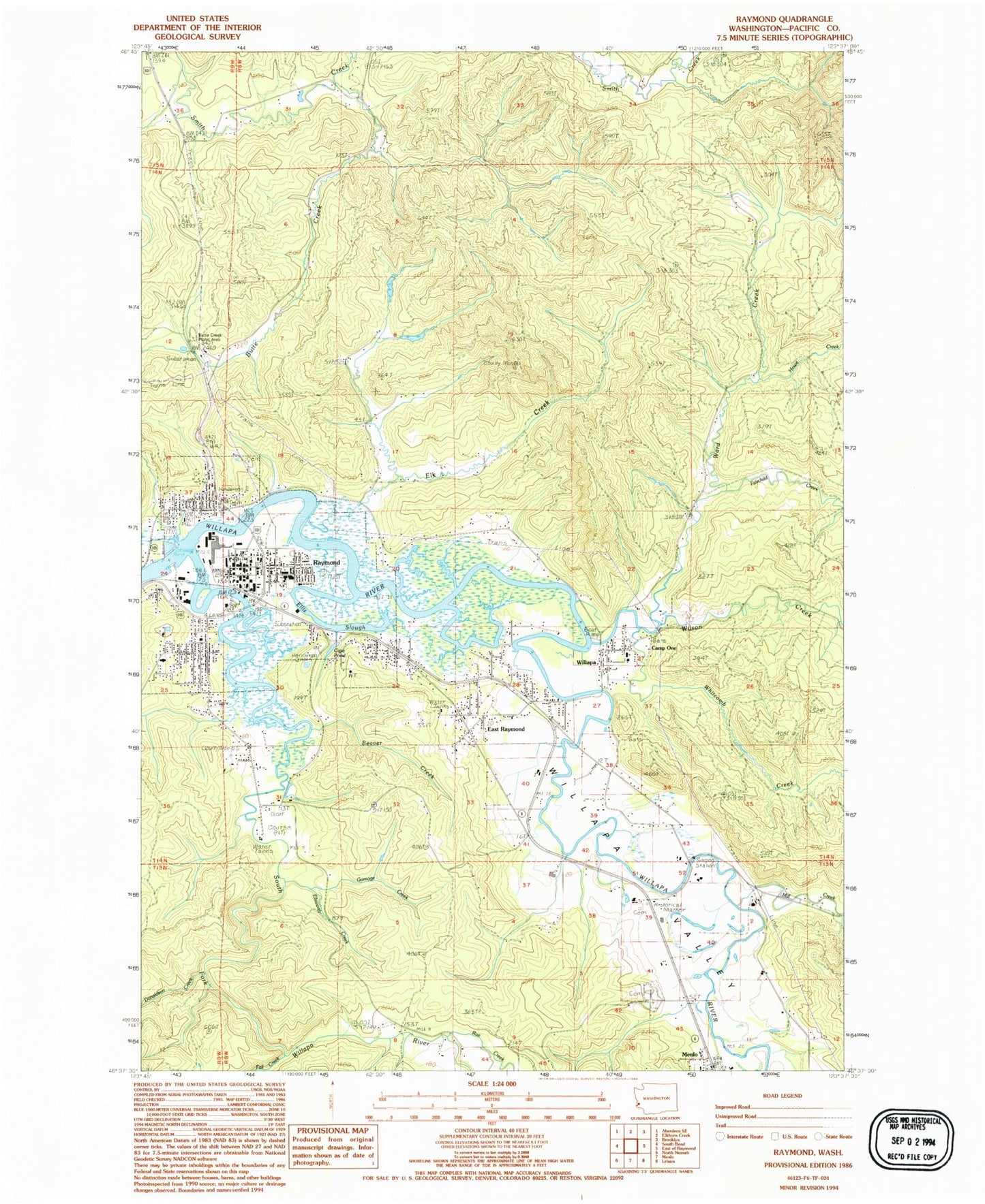
Historical USGS topographic quad map of Raymond in the state of Washington. Map scale may vary for some years, but is generally around 1:24,000. Print size is approximately 24" x 27"
This quadrangle is in the following counties: Pacific.
The map contains contour lines, roads, rivers, towns, and lakes. Printed on high-quality waterproof paper with UV fade-resistant inks, and shipped rolled.
Contains the following named places: Beaver Creek, Butte Creek, Butte Creek Picnic Area, Butte Creek Reservoir, Butte Creek Reservoir Dam, Camp One, Case Pond, Church of the Nazarene, City of Raymond, Crossroads Church, Donaldson Creek, East Raymond, Elk Creek, Ellis Slough, Ellsworth Creek, Fairchild Creek, Fall Creek, Fern Hill Cemetery, Gamage Creek, Howe Creek, Kingdom Hall of Jehovahs Witnesses, Mill Creek, New Life Fellowship Church, Ninth Street and Riverview Elementary School, Northwest Carriage Museum, Owens Ponds, Owens Ponds Dam, Raymond, Raymond Elementary School, Raymond Fire Department, Raymond Heights Reservoir, Raymond Heights Reservoir Dam, Raymond Junior - Senior High School, Raymond Police Department, Raymond Post Office, Raymond Sewage Treatment Plant Lagoon, Raymond Timberland Library, Riverdale School, Rue Creek, Saint Lawrence Church, Shaudys Dam, South Fork Willapa River, South Fork Willapa River Bridge, Sylvandale School, The Church of Jesus Christ of Latter Day Saints, Timberland Village Mobile Home Park, United Church of Raymond, Ward Creek, Washington Cemetery, Wesleyan Church, Whitcomb Creek, Willapa, Willapa Bayview Estates Mobile Home Park, Willapa Census Designated Place, Willapa Elementary School, Willapa Harbor Care Center, Willapa Harbor Christian Church, Willapa Harbor Golf Course, Willapa Harbor Recreation Vehicle Park, Willapa Seaport Museum, Willapa Valley, Willie Keils Grave State Park, Wilson Creek


