MyTopo
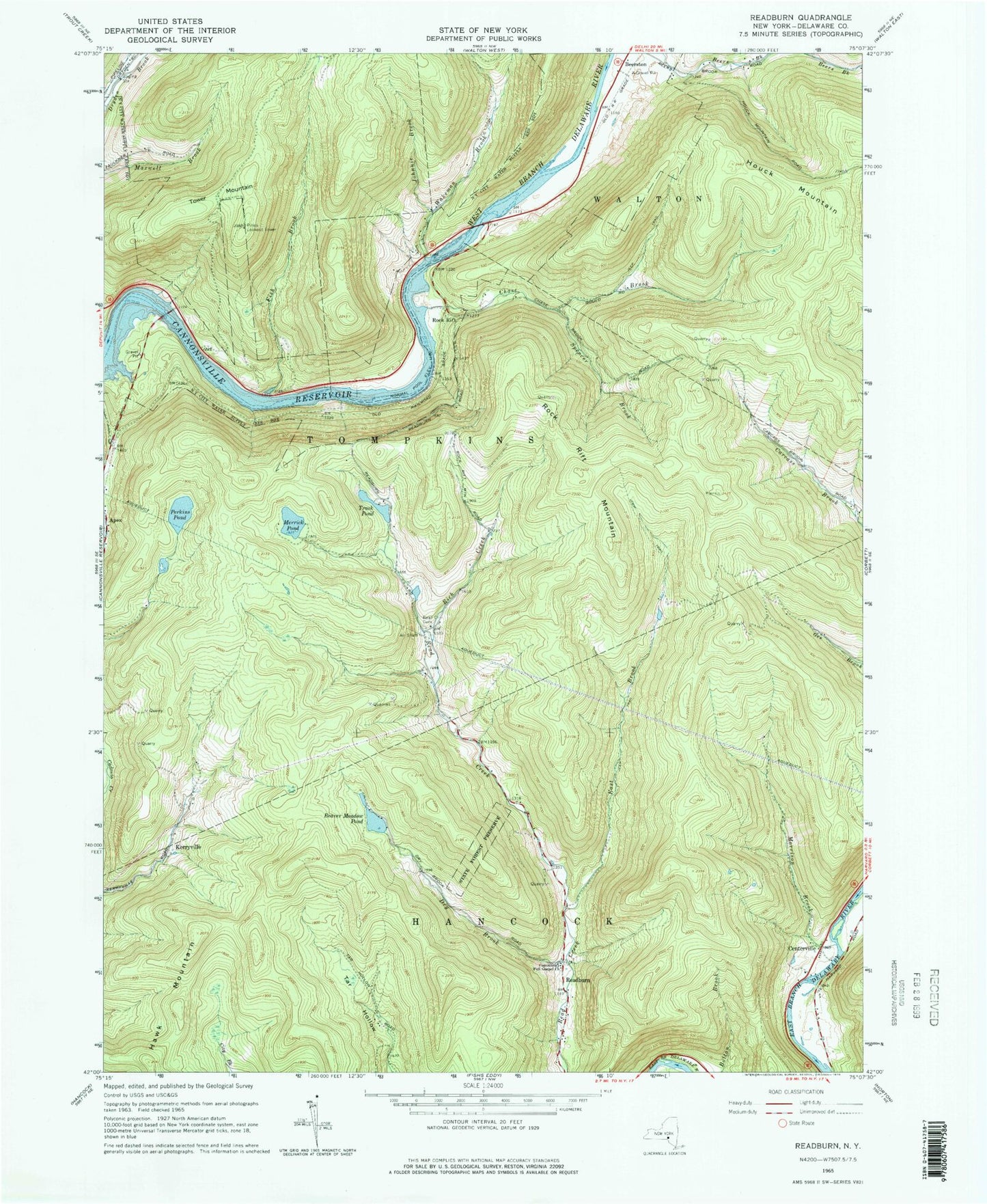
Classic USGS Readburn New York 7.5'x7.5' Topo Map
Couldn't load pickup availability
Historical USGS topographic quad map of Readburn in the state of New York. Typical map scale is 1:24,000, but may vary for certain years, if available. Print size: 24" x 27"
This quadrangle is in the following counties: Delaware.
The map contains contour lines, roads, rivers, towns, and lakes. Printed on high-quality waterproof paper with UV fade-resistant inks, and shipped rolled.
Contains the following named places: Beaver Meadow Pond, Centerville, Chase Brook, Community Full Gospel Church, Dry Brook, East Brook, Fish Brook, Houck Mountain, Johnnie Brook, Merrick Pond, Morrison Brook, Perkins Pond, Read Creek Cemetery, Rich Creek, Rock Rift Mountain, Spencer Brook, Tower Mountain, Trask Pond, Wakeman Brook, Apex, Kerryville, Readburn, Rock Rift, Pines Lookout Tower