MyTopo
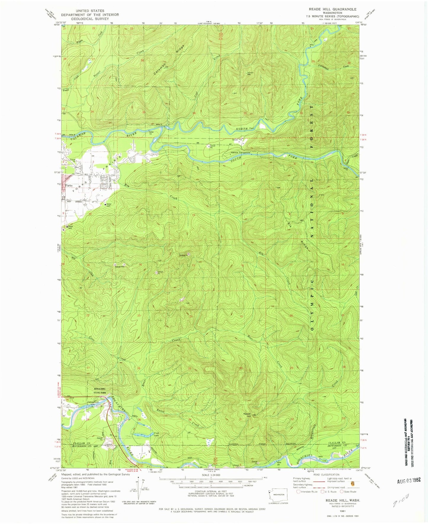
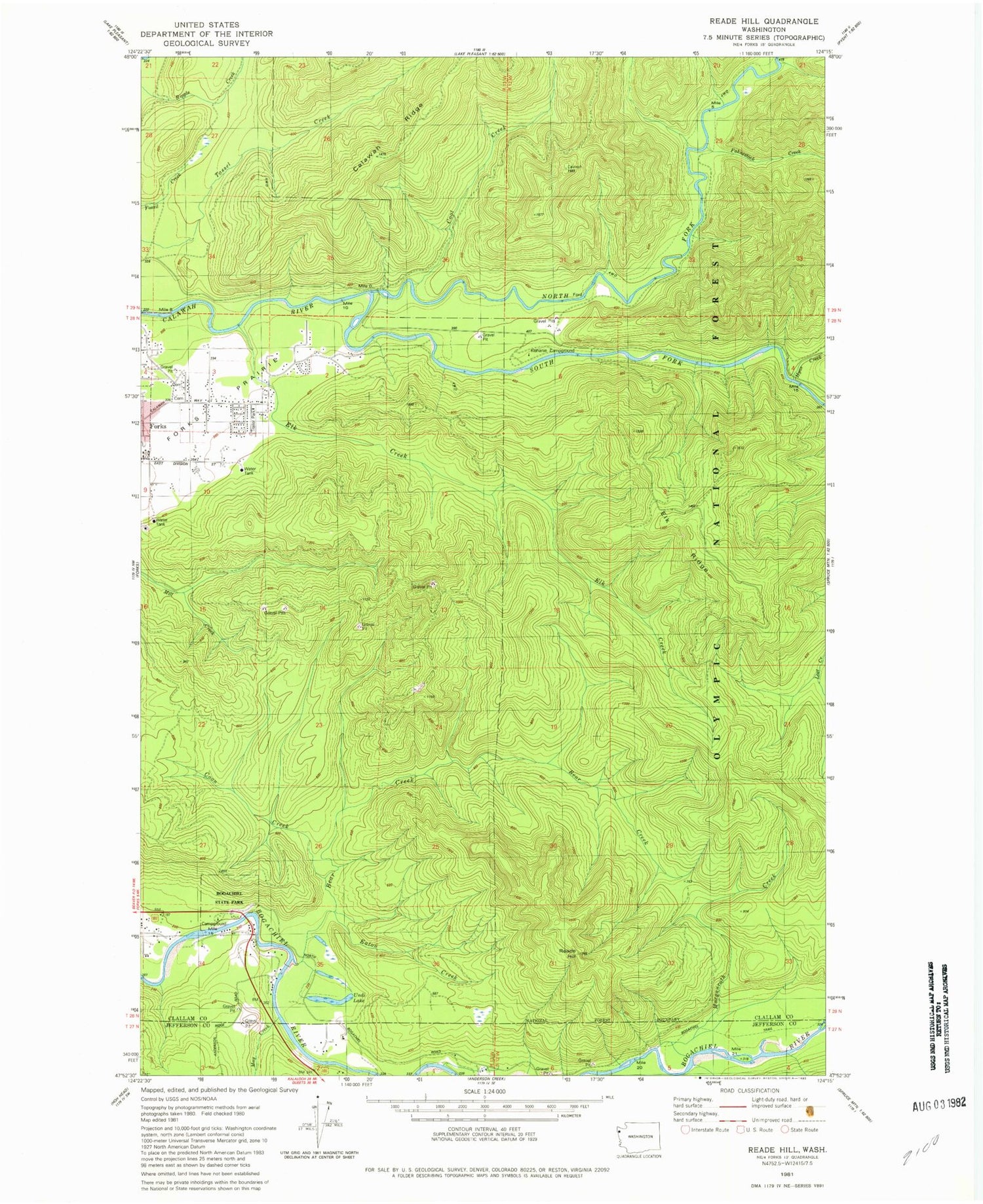
Classic USGS Reade Hill Washington 7.5'x7.5' Topo Map
Couldn't load pickup availability
Historical USGS topographic quad map of Reade Hill in the state of Washington. Map scale may vary for some years, but is generally around 1:24,000. Print size is approximately 24" x 27"
This quadrangle is in the following counties: Clallam, Jefferson.
The map contains contour lines, roads, rivers, towns, and lakes. Printed on high-quality waterproof paper with UV fade-resistant inks, and shipped rolled.
Contains the following named places: Alder Grove Mobile Home Park, Bear Creek, Bogachiel State Park, Bogachiel Trail, Coon Creek, Eaton Creek, Elk Creek, Elk Creek Mobile Home Park, Elk Ridge, Fahnestock Creek, Forks Cemetery, Forks Ranger Station, Forks Seventh Day Adventist Church, Forks Seventh Day Adventist School, Hyas Creek, Klahanie Campground, May Creek, Morganroth Creek, North Fork Calawah River, Reade Hill, South Fork Calawah River, The Church of Jesus Christ of Latter Day Saints, Undi Lake, Upper Cool Creek