MyTopo
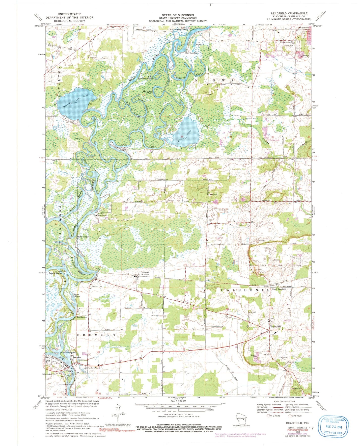
Classic USGS Readfield Wisconsin 7.5'x7.5' Topo Map
Couldn't load pickup availability
Historical USGS topographic quad map of Readfield in the state of Wisconsin. Map scale may vary for some years, but is generally around 1:24,000. Print size is approximately 24" x 27"
This quadrangle is in the following counties: Waupaca.
The map contains contour lines, roads, rivers, towns, and lakes. Printed on high-quality waterproof paper with UV fade-resistant inks, and shipped rolled.
Contains the following named places: Big Cut, Challenging all Students to Learn Effectively School, Cincoe Lake, Colic Bayou, Crystal Fountain School, Curns Airport, Cutoff School, Devils Elbow, Elm School, Floral Hill Cemetery, Fountain Valley School, Fremont, Fremont - Wolf River Fire Department, Fremont Police Department, Fremont Station, Horseshoe Bayou, Jenny Bayou, Klemp Quarry, Little Boom Island, Little Cut, Little Horseshoe Bayou, Lowell Bayou, McFaul Airport, Mill Cut, Miller Bayou, Most Precious Blood Cemetery, New London High School, North Readfield, Oak Grove School, Parfitt Landing, Partridge Crop Lake, Pioneer Cemetery, Poppy's Rock State Natural Area, Potters Creek, Rawhide Boys Camp, Readfield, Readfield Elementary School, Readfield Post Office, Red Banks, Saint John Cemetery, Saint Johns School, Saint Pauls Cemetery, Sandy Knoll School, School of Enterprise Marketing, Shaw Landing, Stanleys Landing, Starr Academy, Templeton Bayou, Tom Bayou, Town of Caledonia, Town of Mukwa, Traders Bayou, Village of Fremont


