MyTopo
Classic USGS Reading Minnesota 7.5'x7.5' Topo Map
Couldn't load pickup availability
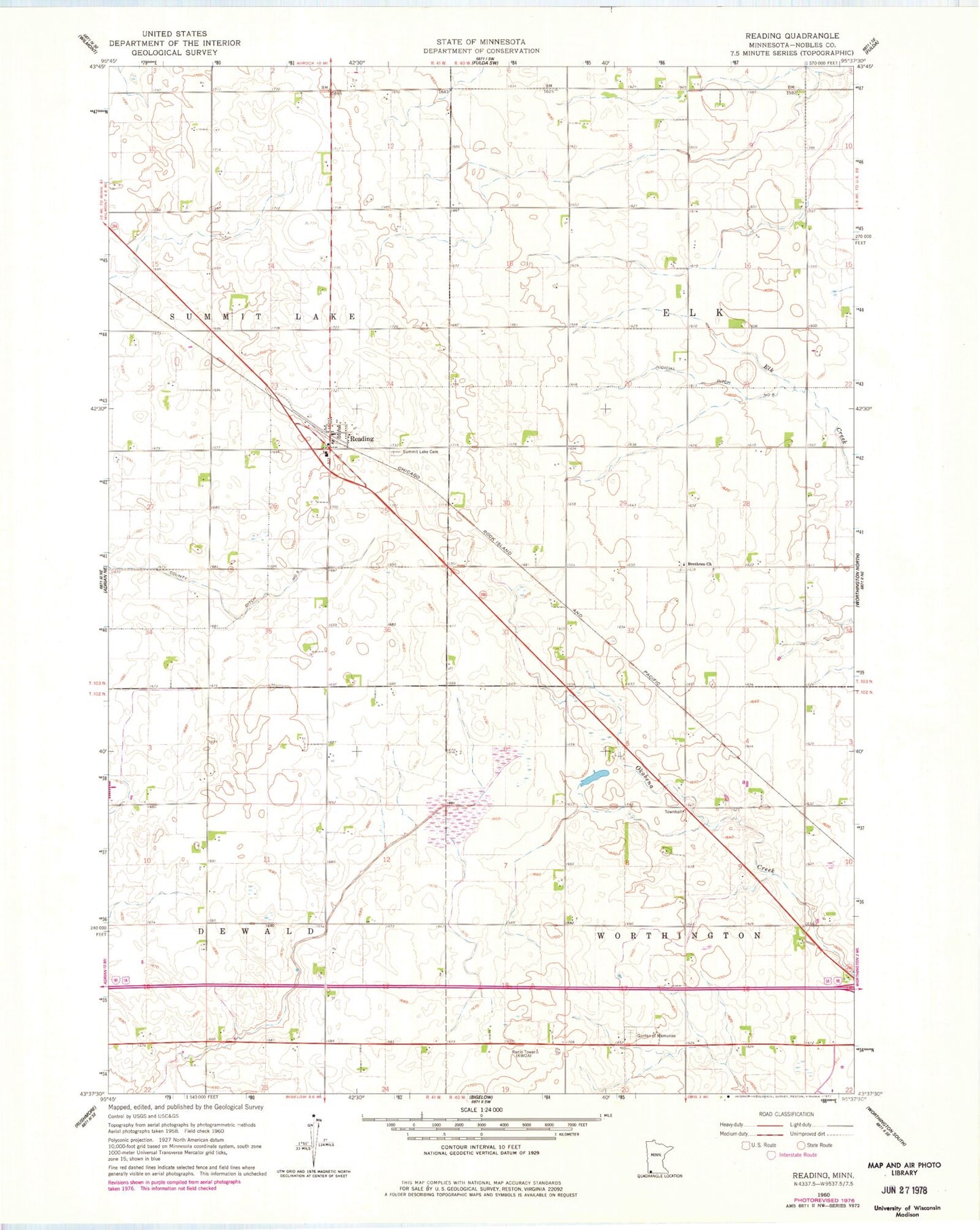
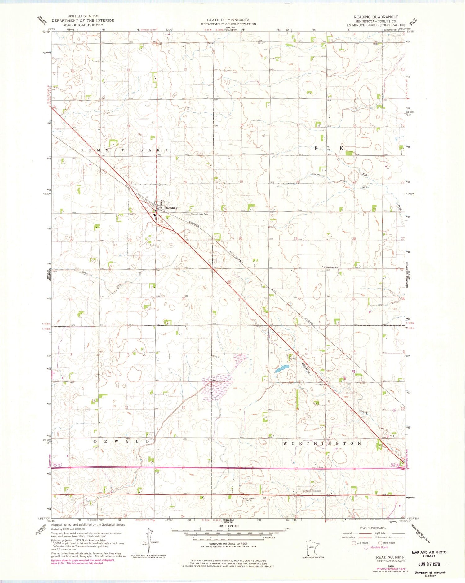
Historical USGS topographic quad map of Reading in the state of Minnesota. Map scale may vary for some years, but is generally around 1:24,000. Print size is approximately 24" x 27"
This quadrangle is in the following counties: Nobles.
The map contains contour lines, roads, rivers, towns, and lakes. Printed on high-quality waterproof paper with UV fade-resistant inks, and shipped rolled.
Contains the following named places: Bethel Presbyterian Church, Brethren Church, Church of the Brethren Cemetery, County Ditch Number Five, Garden of Memories, Herlein-Boote State Wildlife Management Area, KWOA-AM (Worthington), KWOA-FM (Worthington), Prairie View Golf Links, Reading, Reading Post Office, Summit Lake Cemetery, Township of Elk, Township of Worthington, Worthington Junior High School, ZIP Code: 56165