MyTopo
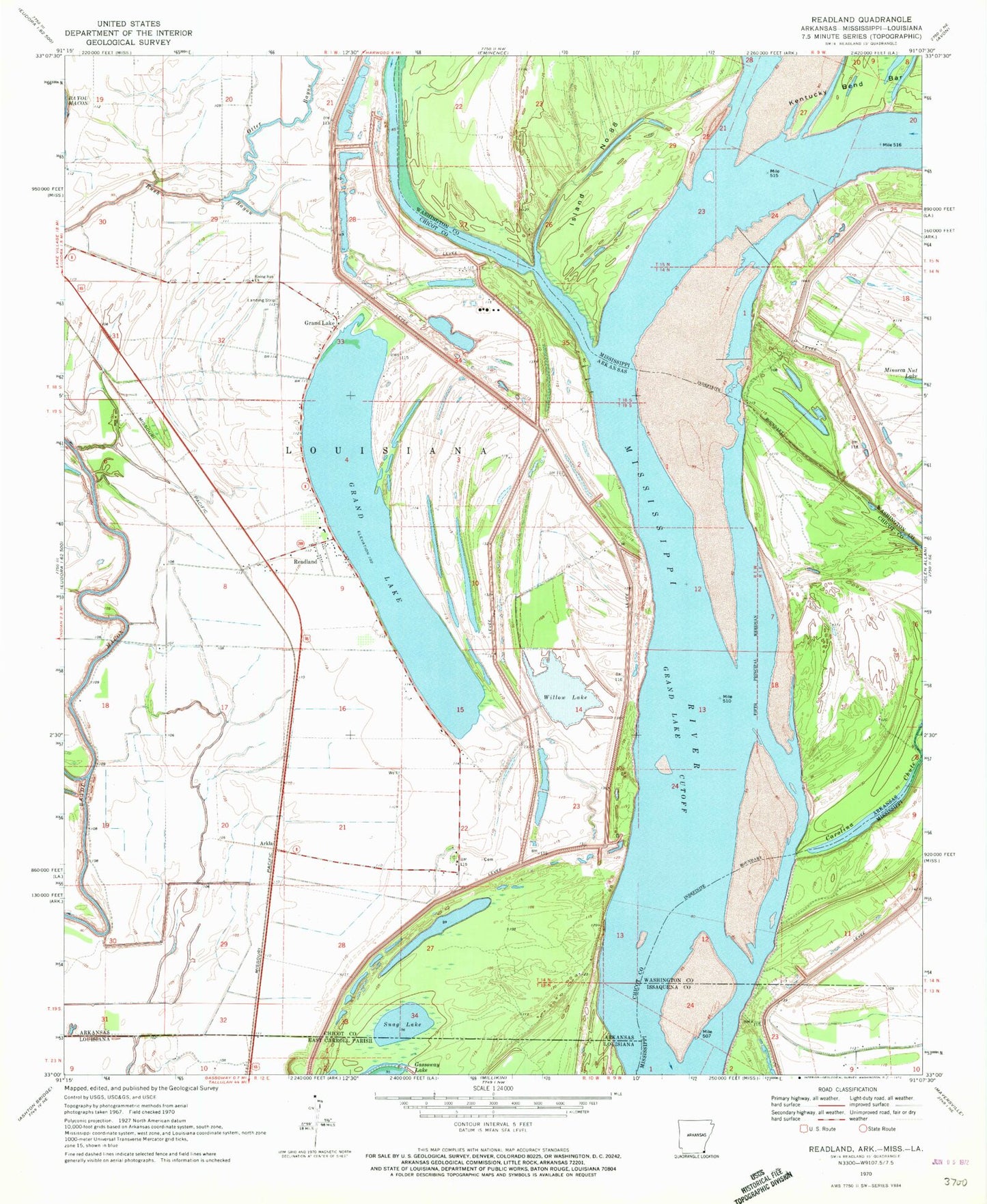
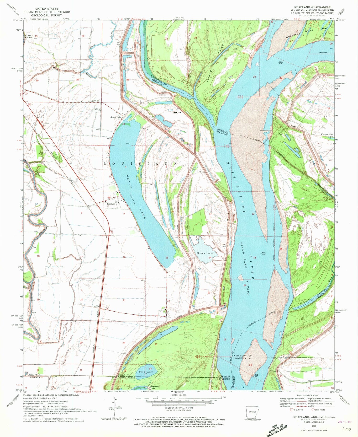
Classic USGS Readland Arkansas 7.5'x7.5' Topo Map
Couldn't load pickup availability
Historical USGS topographic quad map of Readland in the states of Arkansas, Mississippi. Map scale may vary for some years, but is generally around 1:24,000. Print size is approximately 24" x 27"
This quadrangle is in the following counties: Chicot, East Carroll, Issaquena, Washington.
The map contains contour lines, roads, rivers, towns, and lakes. Printed on high-quality waterproof paper with UV fade-resistant inks, and shipped rolled.
Contains the following named places: Ball Lake, Ball Lake Dam Number One, Blomey Shay Church, Bloomfield Church, Carolina Bar, Carolina Landing, Carriola Landing, Coal Landing, Cracraft Chute, Cracraft Dikes, Cracraft Landing, Cracraft Lower Dikes, Cracraft Revetment, Cracraft Towhead, Grand Lake, Grand Lake Cutoff, Grand Lake Landing, Island Number 89, Island Number Eightyeight, Lake Washington Landing, Leota Landing, Matthews Bend, Mount Holy Church, Readland, Readland Post Office, Rising Sun Church, Rush Bayou, Saint James Church, Saint Luke Church, Saint Paul Church, Snag Lake, Sterling, Sterling Landing, Sterling School, Township of Louisiana, Willow Lake, Worthington Cutoff


