MyTopo
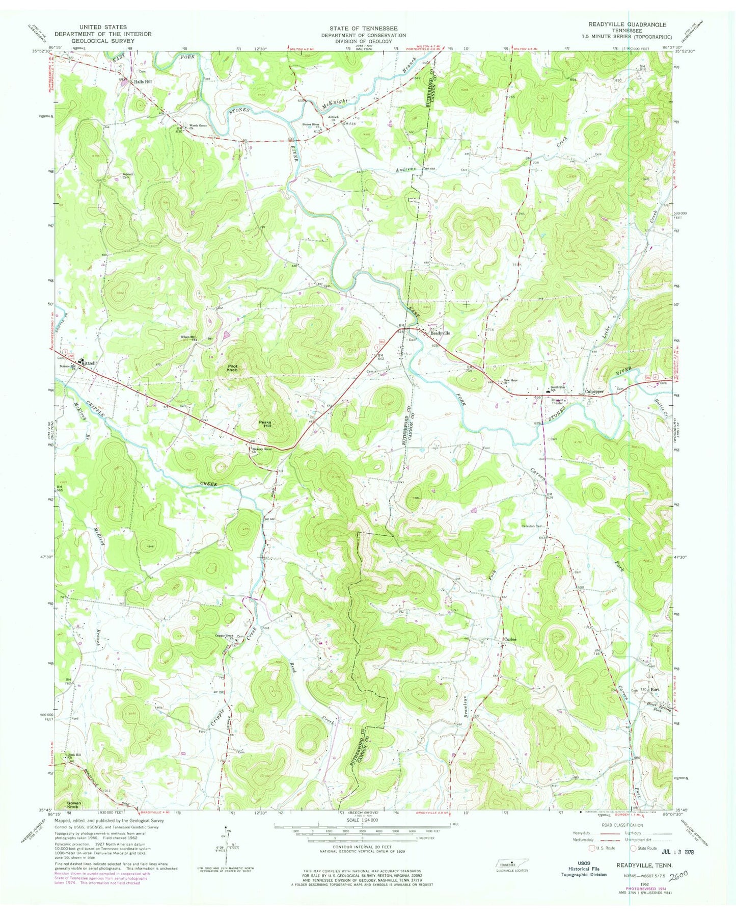
Classic USGS Readyville Tennessee 7.5'x7.5' Topo Map
Couldn't load pickup availability
Historical USGS topographic quad map of Readyville in the state of Tennessee. Typical map scale is 1:24,000, but may vary for certain years, if available. Print size: 24" x 27"
This quadrangle is in the following counties: Cannon, Rutherford.
The map contains contour lines, roads, rivers, towns, and lakes. Printed on high-quality waterproof paper with UV fade-resistant inks, and shipped rolled.
Contains the following named places: Brawleys Fork, Wilson Hill Church, Carson Fork, Curlee, Gowen Knob, Halls Hill, Haws Spring Fork, Hickory Grove Church, Hollis Creek, Hoover Cemetery, Kittrell, Locke Creek, McElroy Branch, McKnight Branch, New Hope Church, Peaks Hill, Pilot Knob, Readyville, Reed Creek, Rock Hill Church, Science Hill Church, South Side School, Stones River Church, Wards Grove Church, Andrews Creek, Antioch Church, Cateston Cemetery, Cripple Creek Church, Culpepper, Burt, Burt School (historical), Curlee School (historical), Arentt School (historical), Floraton Church (historical), Kittrell Elementary School, Widow Wrights Mill (historical), Barton Cemetery, Bragg Cemetery, Bragg Cemetery, Bragg Cemetery, Brandon Cemetery, Burt Baptist Church, Carter Cemetery, Cateston, Curlee Cemetery, Curlee Church of Christ, Davis-Thomas Cemetery, Harris Cemetery, Lassiter Cemetery, Gandy Cemetery, Marion Baptist Church (historical), Ready Cemetery, Readyville High School (historical), Readyville Mill, Saffel Cemetery, Simpson Cemetery, Smith Cemetery, Talley Hill, Thompson Cemetery, Todd Cemetery, Travis Cemetery, Tucker Cemetery, Wood Cemetery, Alexanders Mill (historical), Arnett Cemetery, Ashley Cemetery, Benson Cemetery, Bevins Cemetery, Brandon Cemetery, Carnahan Cemetery, Cripple Creek Cemetery, Daniel Cemetery, Dunn Cemetery, Dunn Cemetery, Dunn Cemetery, Hall Cemetery, Herrod Cemetery, Herrod Cemetery, Hoover Cemetery, Huddleston Cemetery, Jamison Cemetery, Johnson Cemetery, Jones Cemetery, Jones-McElroy Cemetery, Lyon Cemetery, McCrary Cemetery, McKnight-Wright Cemetery, Parrot Cemetery, Peak Cemetery, Ready Cemetery, Richardson Cemetery, Ring Cemetery, Sagely Cemetery, Sanford Cemetery, Smith Cemetery, The Corners, Thompson Cemetery, Wards Grove Cemetery, Youree Cemetery, Youree Cemetery, Bryson Hollow, Reed Hollow, Thomas Hollow, Gooch Ford, Readyville Post Office, New Hope, Commissioner District 1, Kittrell Census Designated Place, Adams Poultry Farm, Kittrell Volunteer Fire Department, West Side Volunteer Fire Department


