MyTopo
Classic USGS Realitos Texas 7.5'x7.5' Topo Map
Couldn't load pickup availability
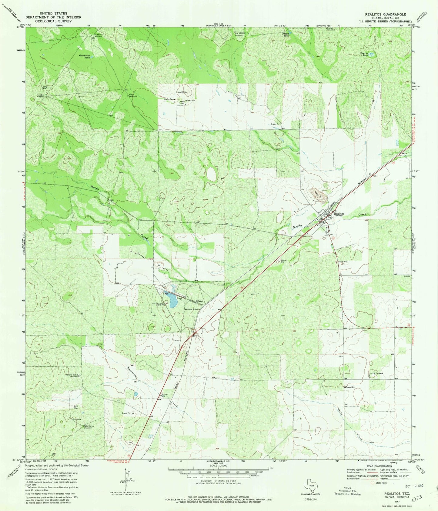
Historical USGS topographic quad map of Realitos in the state of Texas. Map scale may vary for some years, but is generally around 1:24,000. Print size is approximately 24" x 27"
This quadrangle is in the following counties: Duval.
The map contains contour lines, roads, rivers, towns, and lakes. Printed on high-quality waterproof paper with UV fade-resistant inks, and shipped rolled.
Contains the following named places: Bonita Tank, Cuerva Tank, Guaturche Tank, Guaturche Windmill, Haner Windmill, Longora Windmill, O S Wyatt Airport, Palo Blanco Windmill, Pila Blance Windmill, Rancho Nuevo Windmill, Realitos, Realitos Cemetery, Realitos Census Designated Place, Realitos Colonia, Realitos Post Office, Realitos-Concepcion Division, Wright Brothers Materials Plant Dam, Wright Brothers Materials Plant Reservoir, ZIP Code: 78376