MyTopo
Classic USGS Reardan West Washington 7.5'x7.5' Topo Map
Regular price
$16.95
Regular price
Sale price
$16.95
Unit price
per
Couldn't load pickup availability
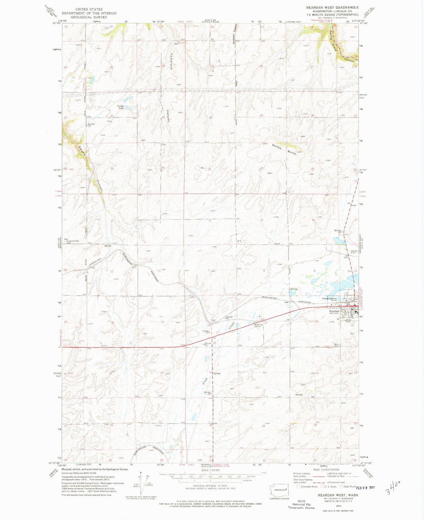
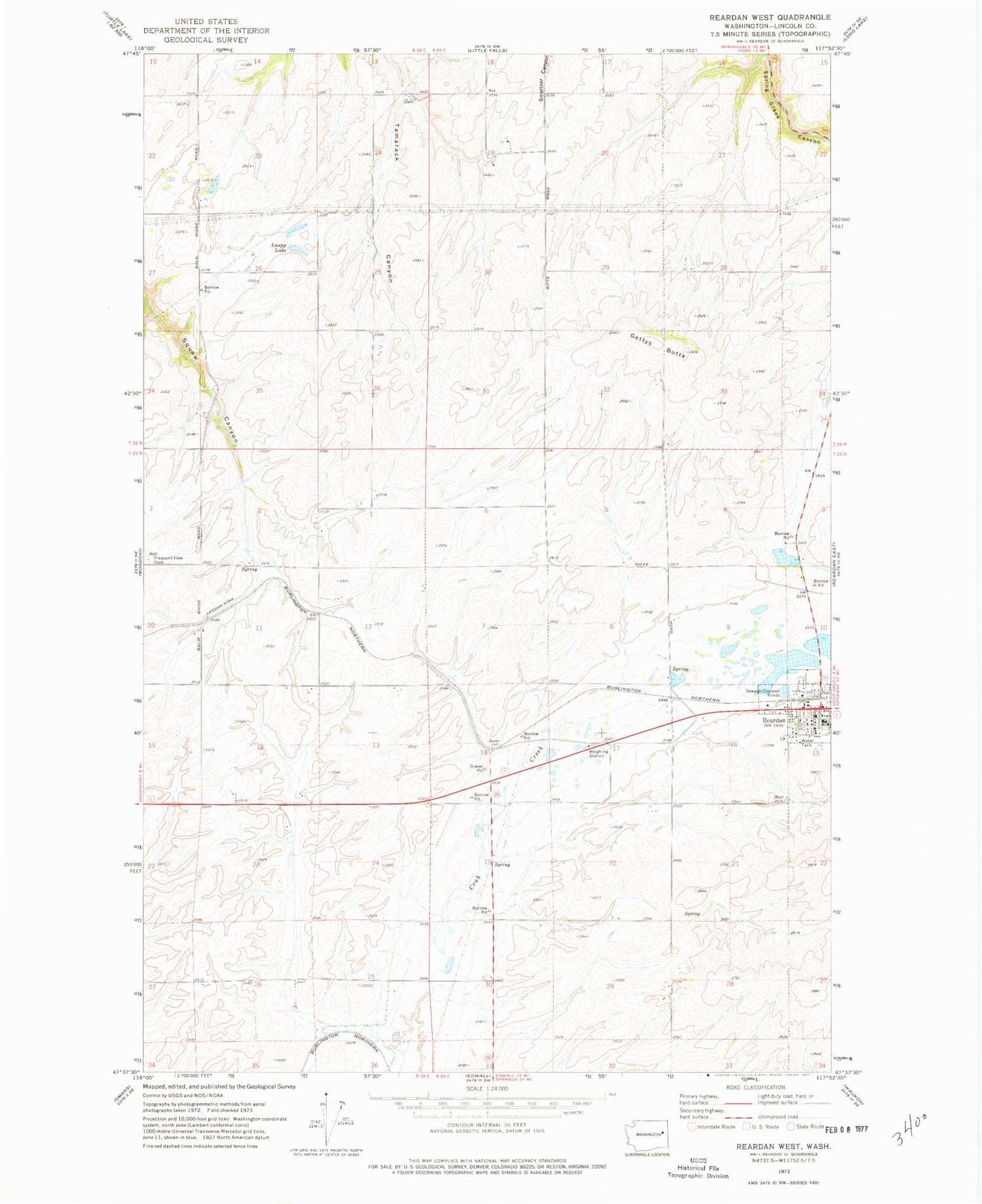
Historical USGS topographic quad map of Reardan West in the state of Washington. Map scale may vary for some years, but is generally around 1:24,000. Print size is approximately 24" x 27"
This quadrangle is in the following counties: Lincoln.
The map contains contour lines, roads, rivers, towns, and lakes. Printed on high-quality waterproof paper with UV fade-resistant inks, and shipped rolled.
Contains the following named places: Gettys Butte, Laupp Lake, Lincoln County Fire District 4 Reardon Station, Reardan, Reardan Elementary School, Reardan Middle / High School, Reardan Police Department, Reardon Post Office, Town of Reardan, Zwainz Farms Airport