MyTopo
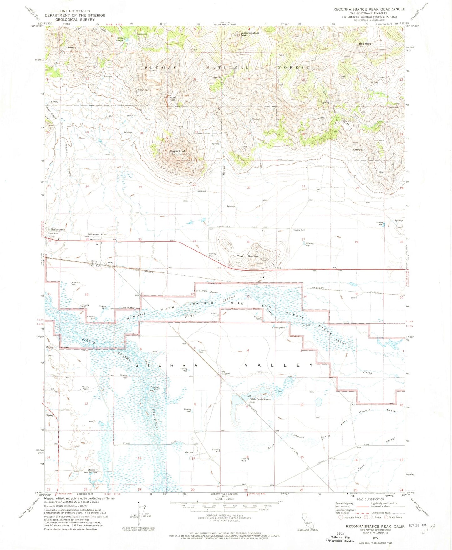
Classic USGS Reconnaissance Peak California 7.5'x7.5' Topo Map
Couldn't load pickup availability
Historical USGS topographic quad map of Reconnaissance Peak in the state of California. Map scale may vary for some years, but is generally around 1:24,000. Print size is approximately 24" x 27"
This quadrangle is in the following counties: Plumas.
The map contains contour lines, roads, rivers, towns, and lakes. Printed on high-quality waterproof paper with UV fade-resistant inks, and shipped rolled.
Contains the following named places: Bald Rock, Dotta Saddle, East Channel Little Last Chance Creek, Hawley, Island School, Little Last Chance Lake, Mapes Canyon, Marble Hot Springs, Nervino Airport, North Channel Little Last Chance Creek, Reconnaissance Peak, Sugar Loaf, Table Rock, The Buttes, ZIP Code: 96129