MyTopo
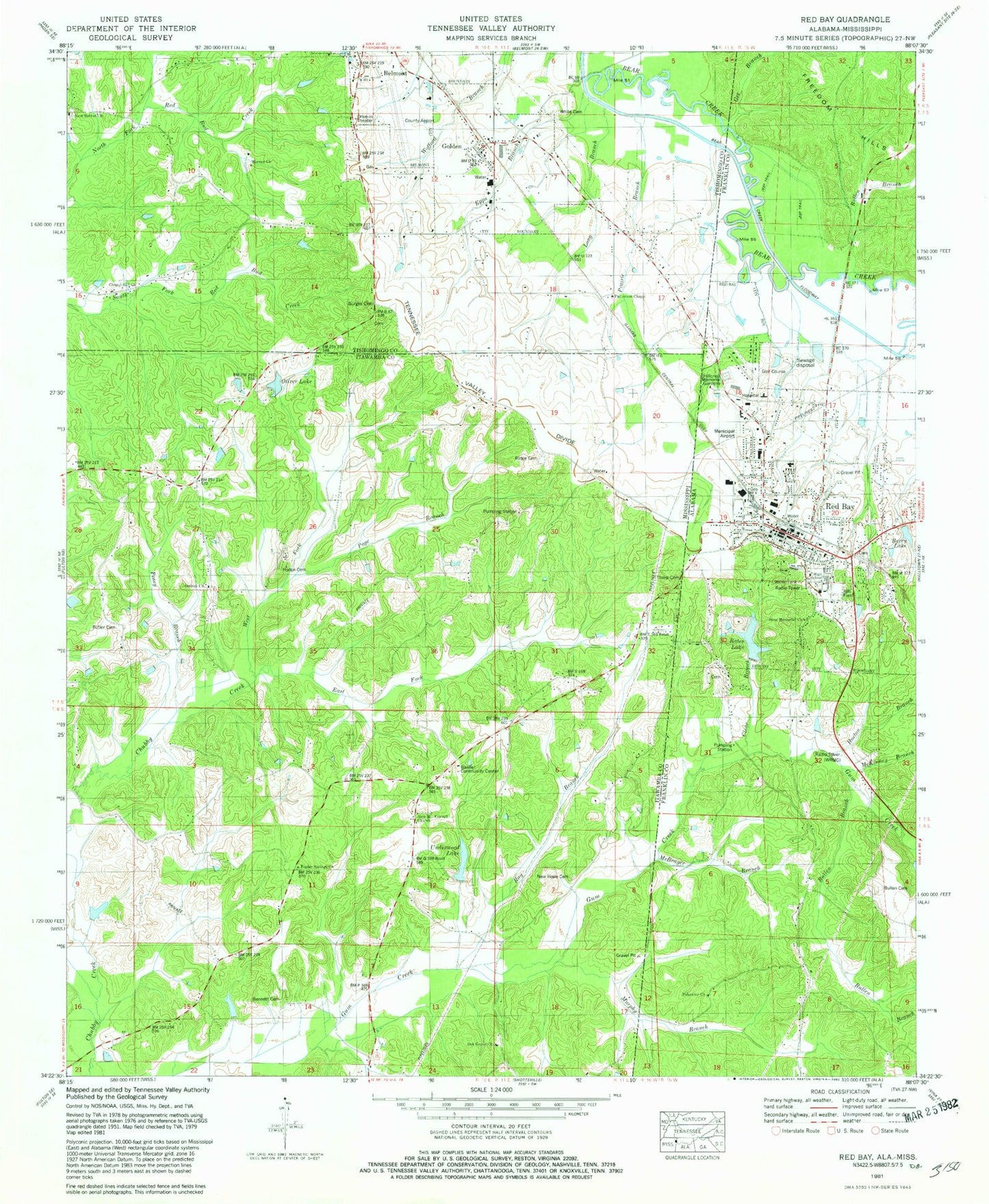
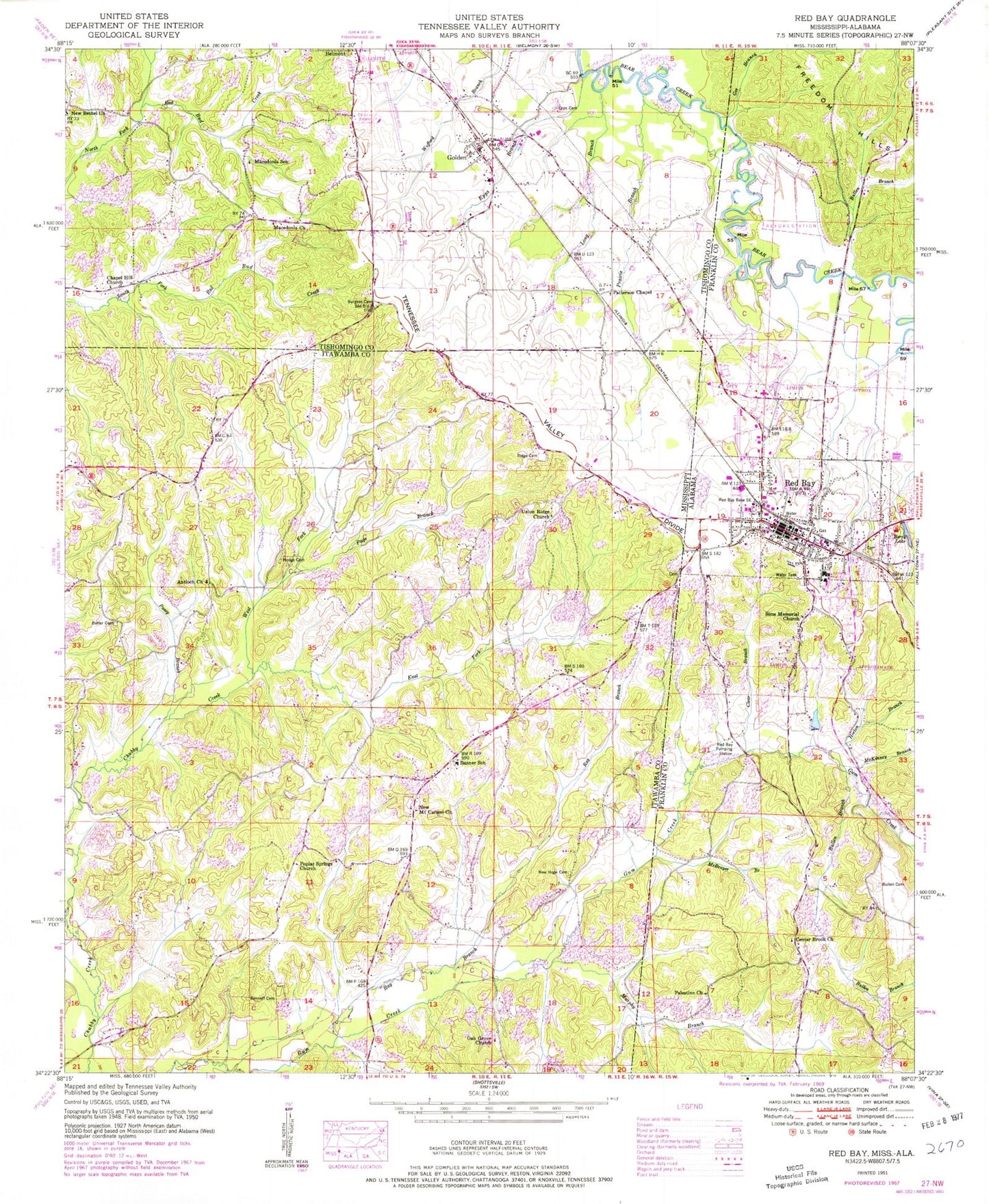
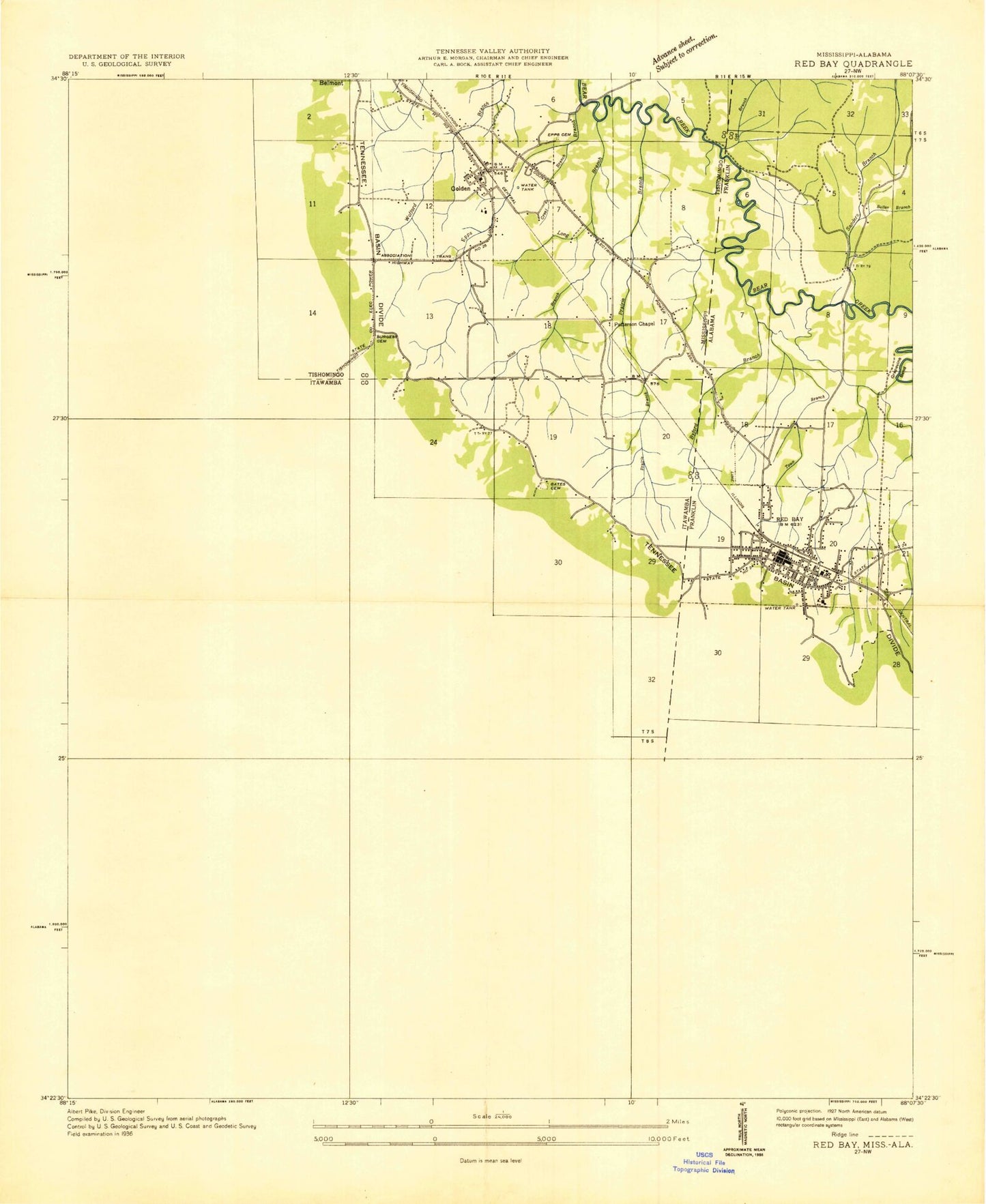
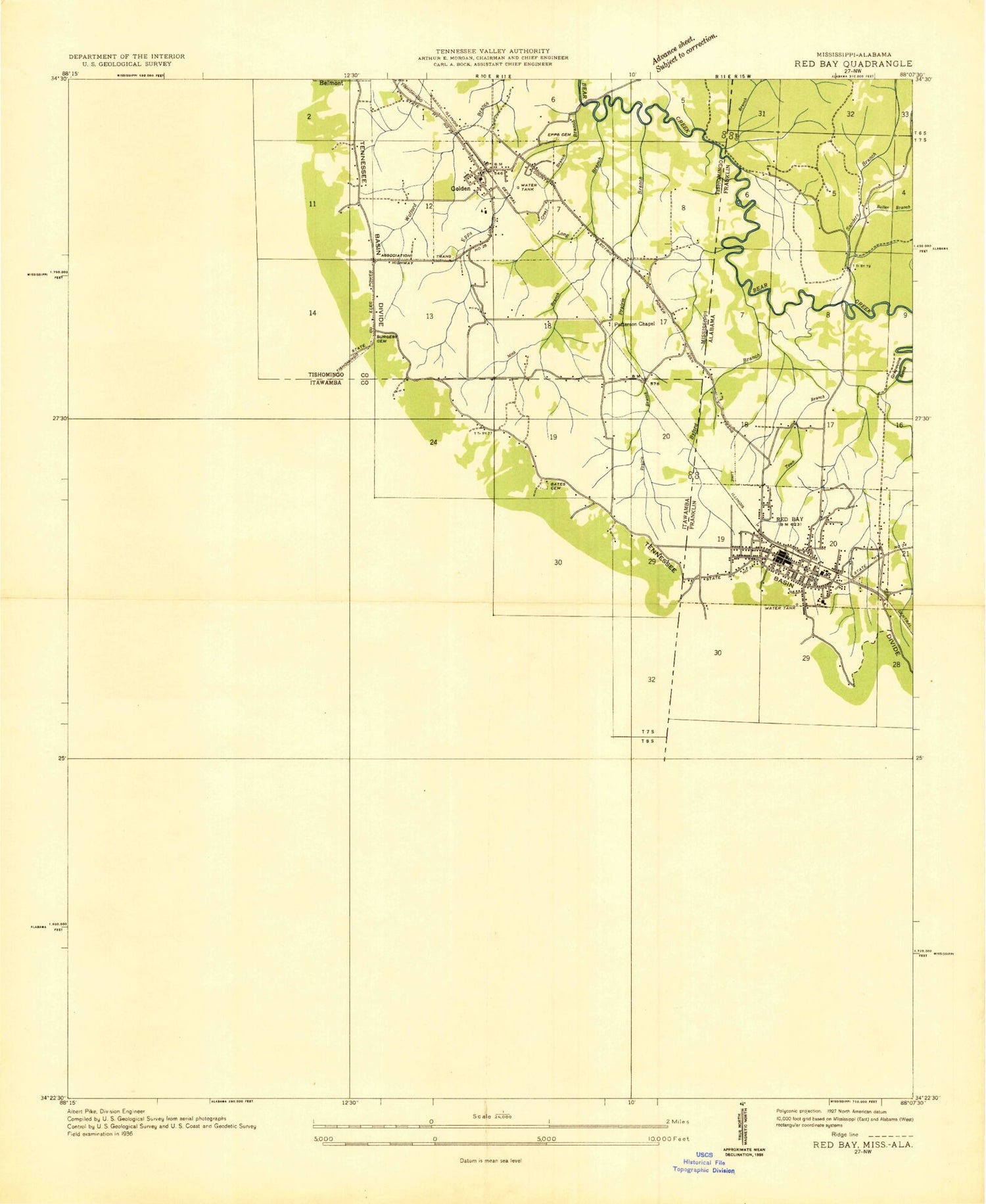
Classic USGS Red Bay Alabama 7.5'x7.5' Topo Map
Couldn't load pickup availability
Historical USGS topographic quad map of Red Bay in the states of Alabama, Mississippi. Map scale may vary for some years, but is generally around 1:24,000. Print size is approximately 24" x 27"
This quadrangle is in the following counties: Franklin, Itawamba, Tishomingo.
The map contains contour lines, roads, rivers, towns, and lakes. Printed on high-quality waterproof paper with UV fade-resistant inks, and shipped rolled.
Contains the following named places: Antioch Church, Audrey O Oliver Pond Dam, Banner Bounds Volunteer Fire Department Banner - Station, Banner Community Center, Banner School, Bates Dam, Bates Lake, Bennett Cemetery, Berry Lake, Berry Lake Dam, Bethel School, Bullen Branch, Bullen Cemetery, Burges Cemetery, Burgess Cemetery African American, Butler Cemetery, Center Brook Church, Central Baptist Church, Chapel Hill Church, Chick, City of Red Bay, Clarks Gin, Clear Branch, Coke Post Office, Community Center Baptist Church, East Fork Chubby Creek, Epps Branch, Epps Cemetery, Epps Ford, Fanchertown, First Baptist Church, First Methodist Church, Gee Branch, Golden, Golden Bear Creek Bridge, Golden Chapel United Methodist Church, Golden City Hall, Golden Fire Department, Golden Post Office, Hillcrest Memorial Gardens, Hodge Cemetery, Horton Branch, Long Branch, Macedonia Church, Macedonia School, Martin School, McBrayer Branch, McKinney Branch, Merora Post Office, Mount Carmel Church, Murphy Branch, New Bethel, New Bethel Cemetery, New Bethel Church, New Hope Cemetery, Northeast Itawamba Volunteer Fire Department Station 852, Northside Baptist Church, Oak Grove Church, Page Branch, Palestine Church, Patterson Chapel, Patterson Chapel School, Pleasant Ridge Post Office, Poplar Springs Church, Posey Branch, Prairie Branch, Ray Branch, Red Bay, Red Bay Base South East, Red Bay City Cemetery, Red Bay Freewill Baptist Church, Red Bay High School, Red Bay Hospital, Red Bay Municipal Airport, Red Bay Police Department, Red Bay Post Office, Red Bay Pumping Station, Red Bay Volunteer Fire Department, Ridge Cemetery, Ridge School, Sanders Branch, Senter Lake Dam, Sims Memorial Church, Tharp Cemetery, Tishomingo County Airport, Town of Golden, Union Ridge Church, Victory Tabernacle Church of God, Weatherford Lake Dam, West Fork Chubby Creek, White Cemetery, WRMG-AM (Red Bay), Yocony, ZIP Code: 38847