MyTopo
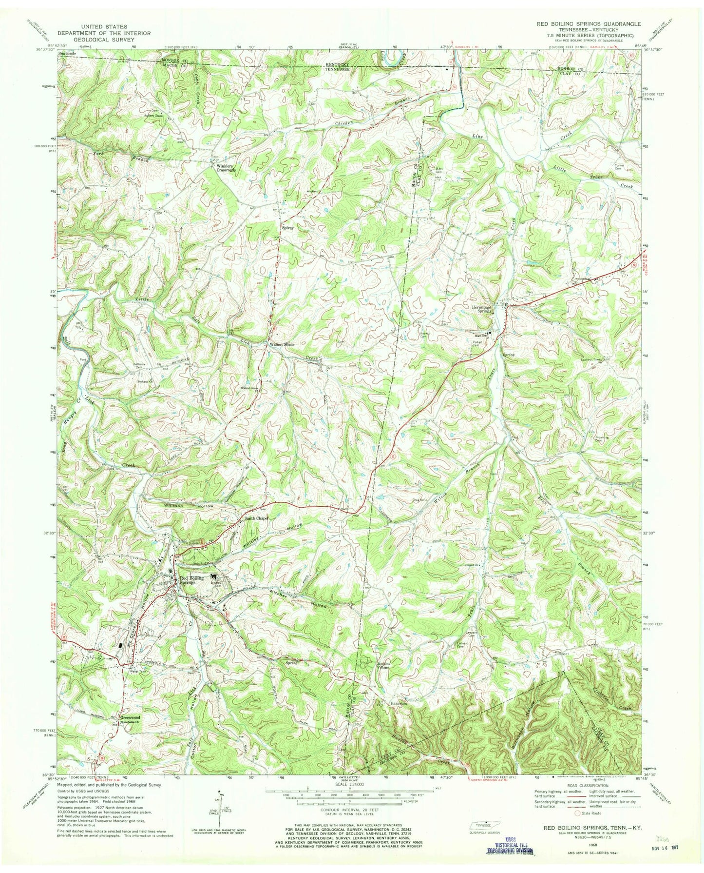
Classic USGS Red Boiling Springs Tennessee 7.5'x7.5' Topo Map
Couldn't load pickup availability
Historical USGS topographic quad map of Red Boiling Springs in the state of Tennessee. Map scale may vary for some years, but is generally around 1:24,000. Print size is approximately 24" x 27"
This quadrangle is in the following counties: Clay, Jackson, Macon, Monroe.
The map contains contour lines, roads, rivers, towns, and lakes. Printed on high-quality waterproof paper with UV fade-resistant inks, and shipped rolled.
Contains the following named places: Bakerton, Bakerton Church of Christ, Bean Branch, Bell Cemetery, Bethany Cemetery, Bethany Church, Biles Cemetery, Browning Cemetery, Capshaw Mill, Chicken Branch, City of Red Boiling Springs, Commissioner District 1, Commissioner District 12, Cothron - Gregory Cemetery, Cotton Hollow, Greenwood, Greenwood School, Hermitage Springs, Hermitage Springs Church of Christ, Hermitage Springs High School, Hermitage Springs Volunteer Fire and Rescue, Jenkins Village, Leonard, Leonard Cemetery, Leonard Church, Leonard School, Little Creek Farms, Little Salt Lick Creek, Little Trace Creek, Long Hungry Creek, Macedonia Church, McClure Hollow, Pedigo Cemetery, Red Boiling Springs, Red Boiling Springs City Hall, Red Boiling Springs Dam Number One, Red Boiling Springs Division, Red Boiling Springs Fire Department, Red Boiling Springs First Baptist Church, Red Boiling Springs Lake Number One, Red Boiling Springs Police Department, Red Boiling Springs Post Office, Red Boiling Springs School, Red Boiling Springs Watershed Lake Number Two, Red Boiling Springs Watershed Number Two Dam, Reeves Cemetery, Sadlers Chapel, Smith Chapel, Spivey, Trace Creek, Turner Cemetery, Vinson Cemetery, Walnut Grove Church, Walnut Shade, Whitley Cemetery, Whitley Hollow, Whitson Hollow, Wilson Branch, Winklers Crossroads, Witcher Hollow, Witcher Hollow Branch, ZIP Code: 37150


