MyTopo
Classic USGS Red Cloud NW Nebraska 7.5'x7.5' Topo Map
Regular price
$16.95
Regular price
Sale price
$16.95
Unit price
per
Couldn't load pickup availability
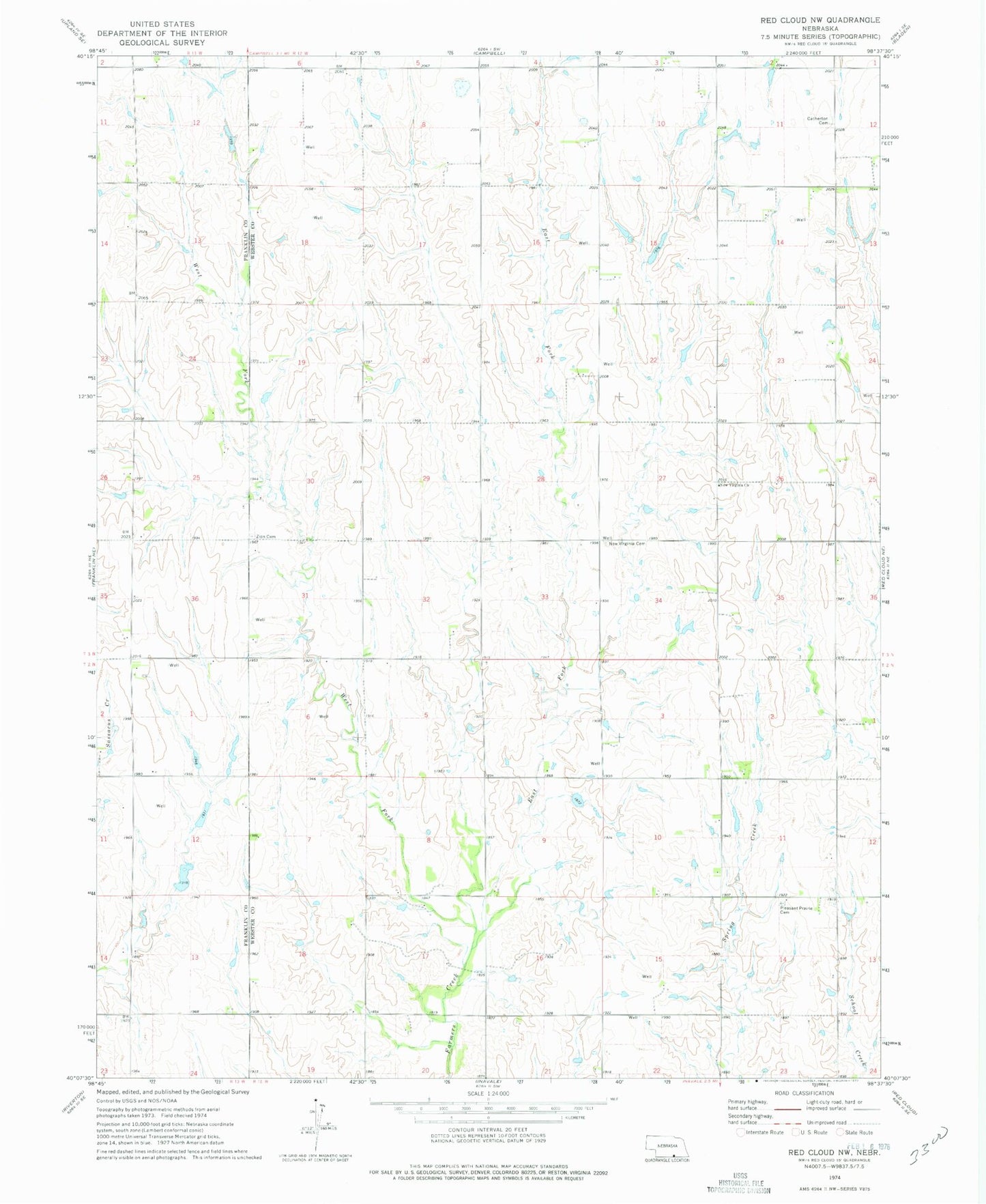
Historical USGS topographic quad map of Red Cloud NW in the state of Nebraska. Map scale may vary for some years, but is generally around 1:24,000. Print size is approximately 24" x 27"
This quadrangle is in the following counties: Franklin, Webster.
The map contains contour lines, roads, rivers, towns, and lakes. Printed on high-quality waterproof paper with UV fade-resistant inks, and shipped rolled.
Contains the following named places: Bartell Dam, Bartell Reservoir, Catherton Cemetery, East Fork Farmers Creek, Inavale Election Precinct, New Virginia Cemetery, New Virginia Church, Norwegian Zion Lutheran Cemetery, Pleasant Prairie Cemetery, West Fork Farmers Creek