MyTopo
Classic USGS Red Creek Reservoir Utah 7.5'x7.5' Topo Map
Couldn't load pickup availability
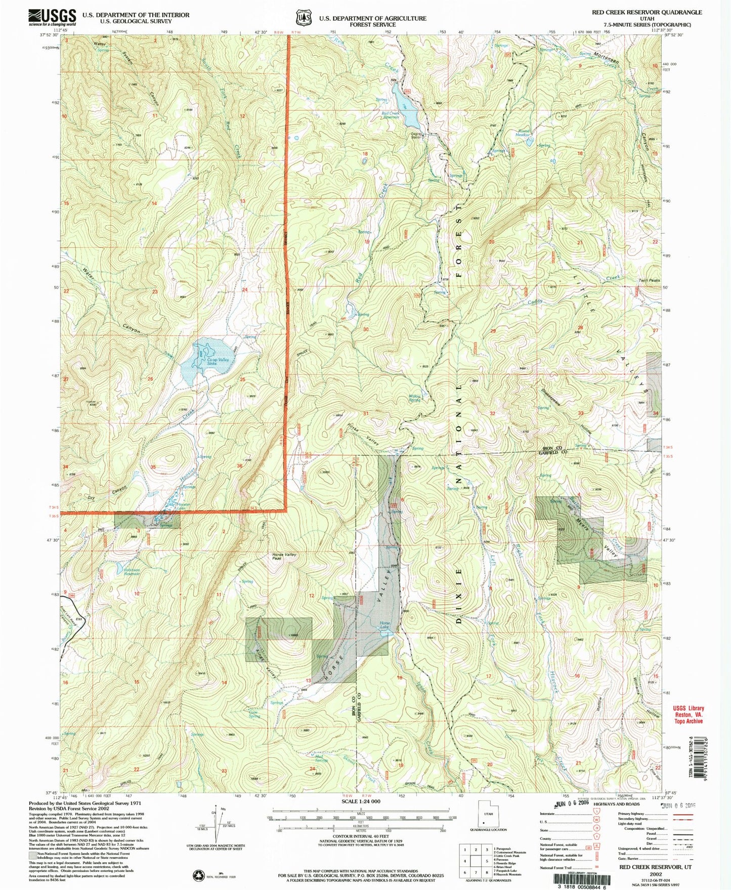
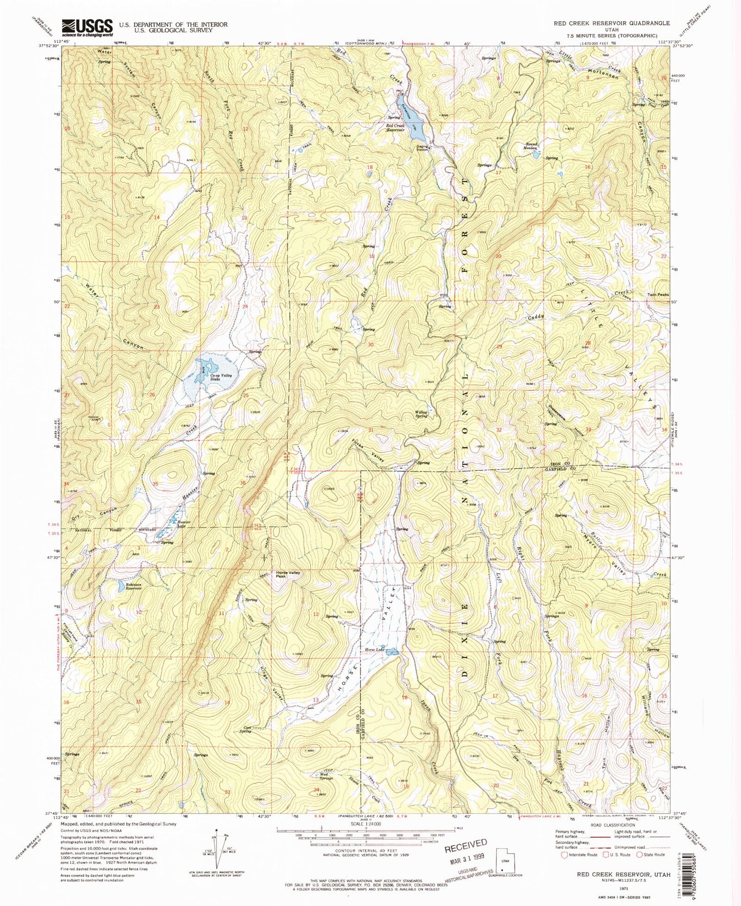
Historical USGS topographic quad map of Red Creek Reservoir in the state of Utah. Map scale may vary for some years, but is generally around 1:24,000. Print size is approximately 24" x 27"
This quadrangle is in the following counties: Garfield, Iron.
The map contains contour lines, roads, rivers, towns, and lakes. Printed on high-quality waterproof paper with UV fade-resistant inks, and shipped rolled.
Contains the following named places: Cove Spring, Dry Fork, Forks Valley, Foster Dam, Foster Reservoir, Hoosier Creek, Hoosier Lake, Horse Lake, Horse Valley, Horse Valley Peak, Kings Valley, Left Fork Haycock Creek, Little Valleys, Mud Springs, Myers Valley, Red Creek Dam, Red Creek Reservoir, Right Fork Haycock Creek, Robinson Reservoir, Round Meadow, Shakespeare Hollow, Spruce Trail, Trail Creek, Twin Peaks, Water System Canyon, Willow Spring