MyTopo
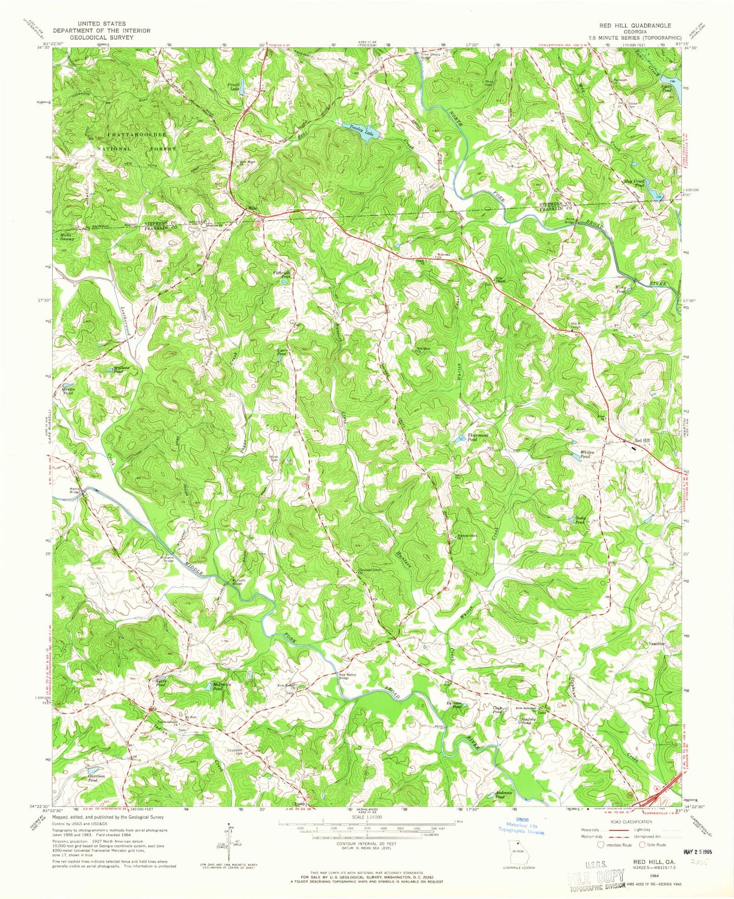
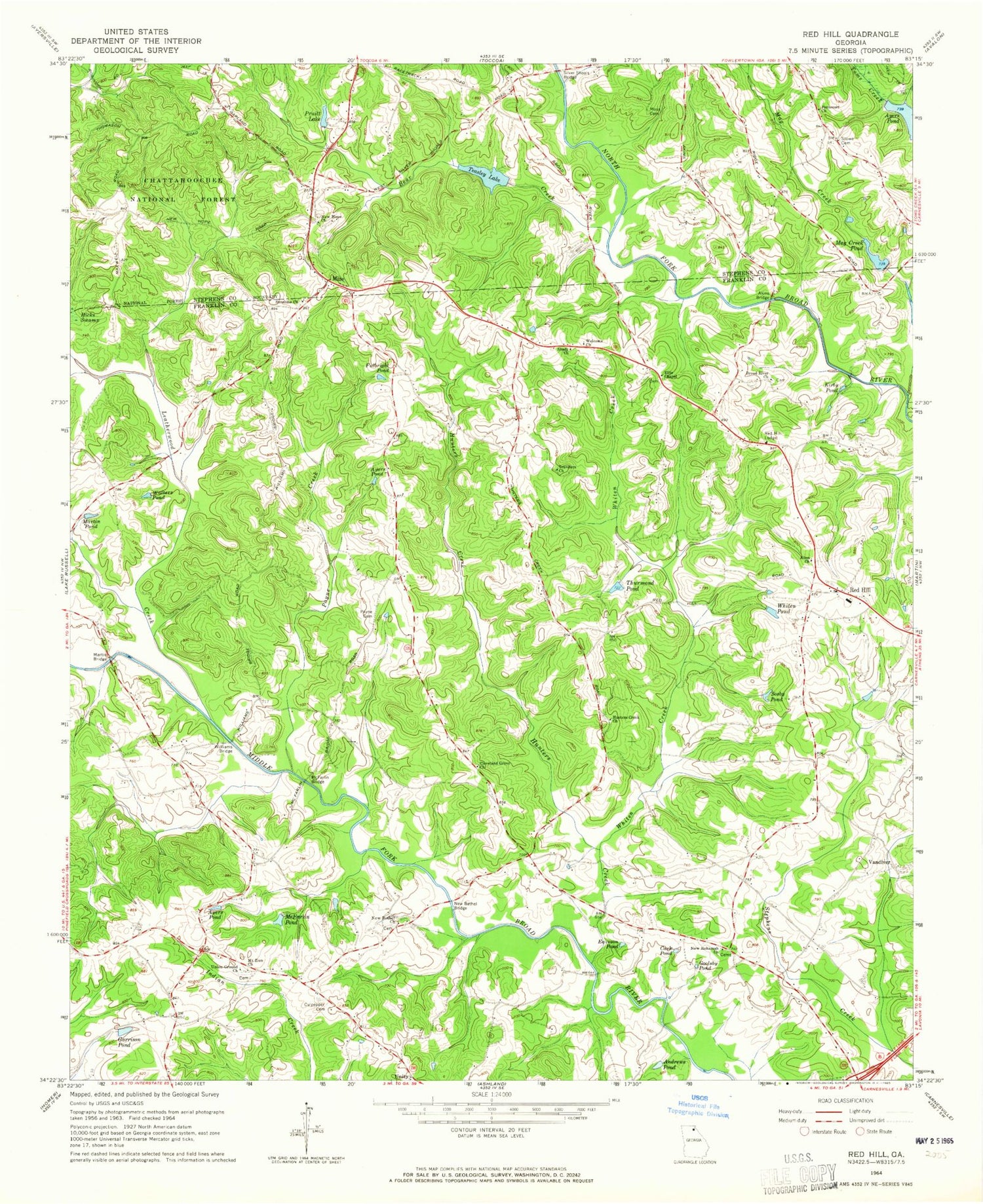
Classic USGS Red Hill Georgia 7.5'x7.5' Topo Map
Couldn't load pickup availability
Historical USGS topographic quad map of Red Hill in the state of Georgia. Map scale may vary for some years, but is generally around 1:24,000. Print size is approximately 24" x 27"
This quadrangle is in the following counties: Franklin, Stephens.
The map contains contour lines, roads, rivers, towns, and lakes. Printed on high-quality waterproof paper with UV fade-resistant inks, and shipped rolled.
Contains the following named places: Akins Bridge, Allen Church, Allens Cemetery, Andrews Pond, Ayers Pond, Bear Creek, Broad River Church, Cagle Lake, Cagle Lake Dam, Carnesville Division, Cash Pond, Cleveland Grove Church, Crawfords Store, Culpepper Cemetery, Double Churches Volunteer Fire Department, Eaveson Pond, Ellis Chapel, Fulbright Pond, Garrison Pond, Goolsby Pond, Hunters Creek, Hunters Creek Church, Kirby Pond, Leatherwood Creek, Mag Creek, Mag Creek Pond, Martin Bridge, Martin Pond, McDuffies Store, McFarlin Bridge, McFarlin Pond, Mize, Moss Cemetery, Mount Zion Church, New Bethel Bridge, New Bethel Church, New Hope Cemetery, New Hope Church, New Rohamah Church, North Fork Broad River Structure Five Dam, North Fork Broad River Structure Six Dam, Payne Cemetery, Payne Creek, Pentecost Church, Pruitt Lake, Red Hill, Red Hill Lodge, Shady Church, Silver Shoals Bridge, Sosby Pond, Stephens County Fire Department Station 3, Stowe Cemetery, Sunshine Cemetery, Sunshine Church, Teasley Lake, Thurmond Pond, Travelers Church, Union Ground Church, Unity, Vandiver, Walters Pond, Welcome Church, Whiten Creek, Whiten Pond, Williams Bridge


