MyTopo
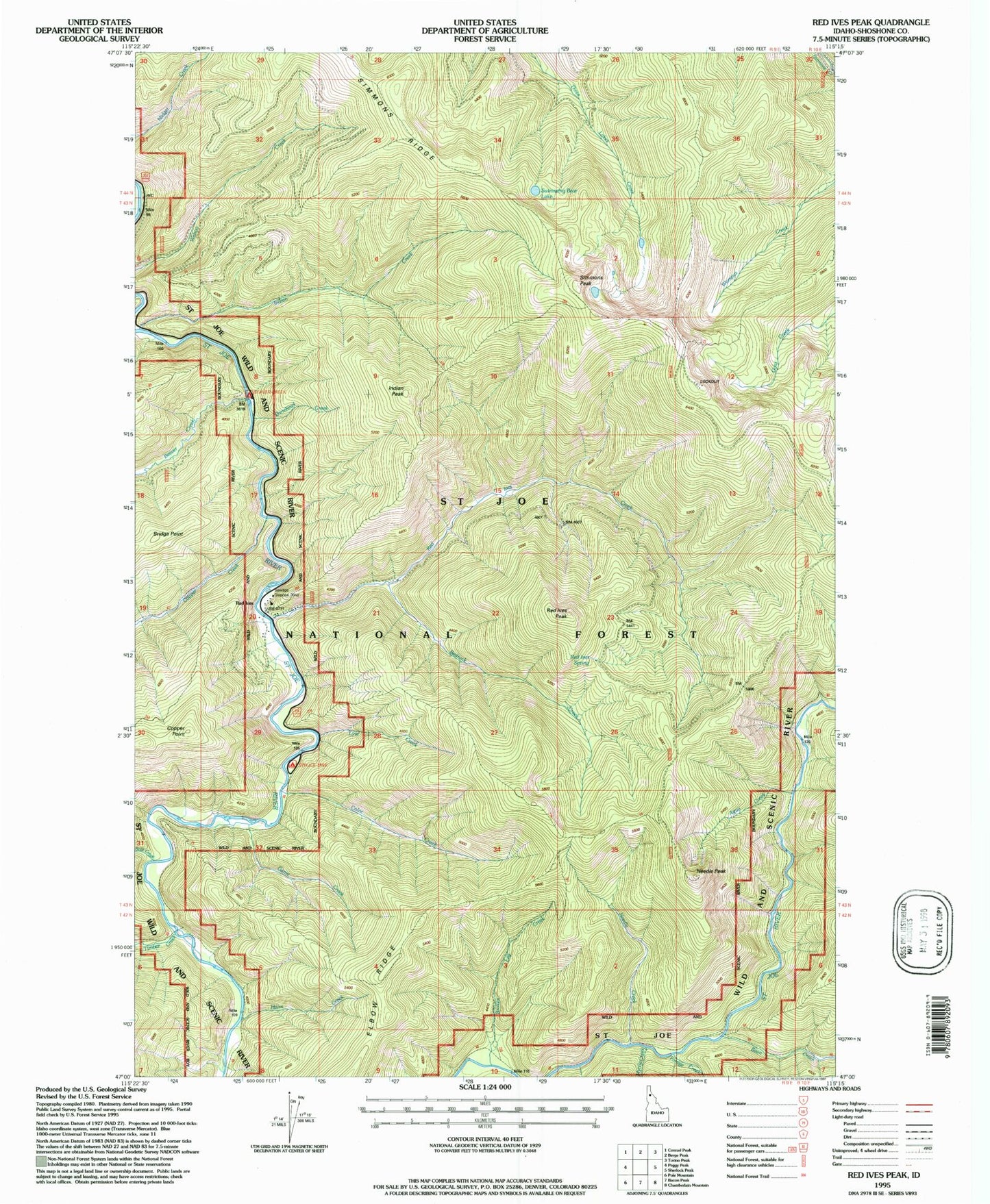
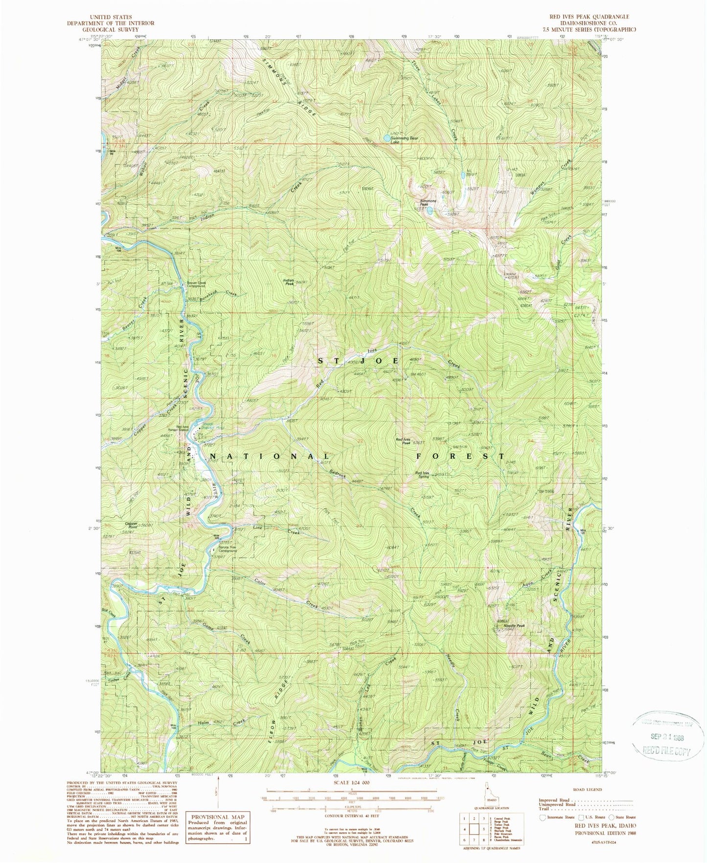
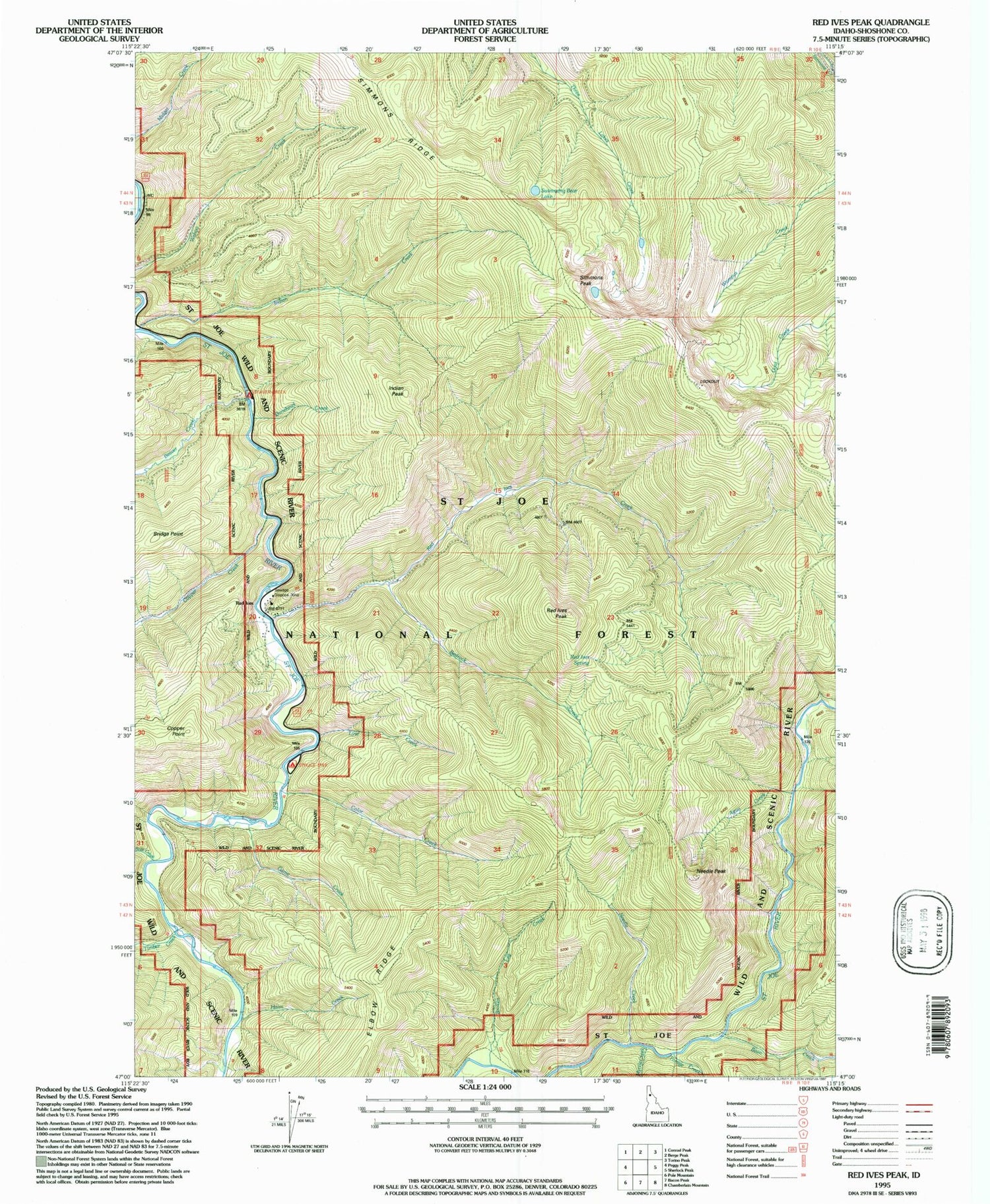
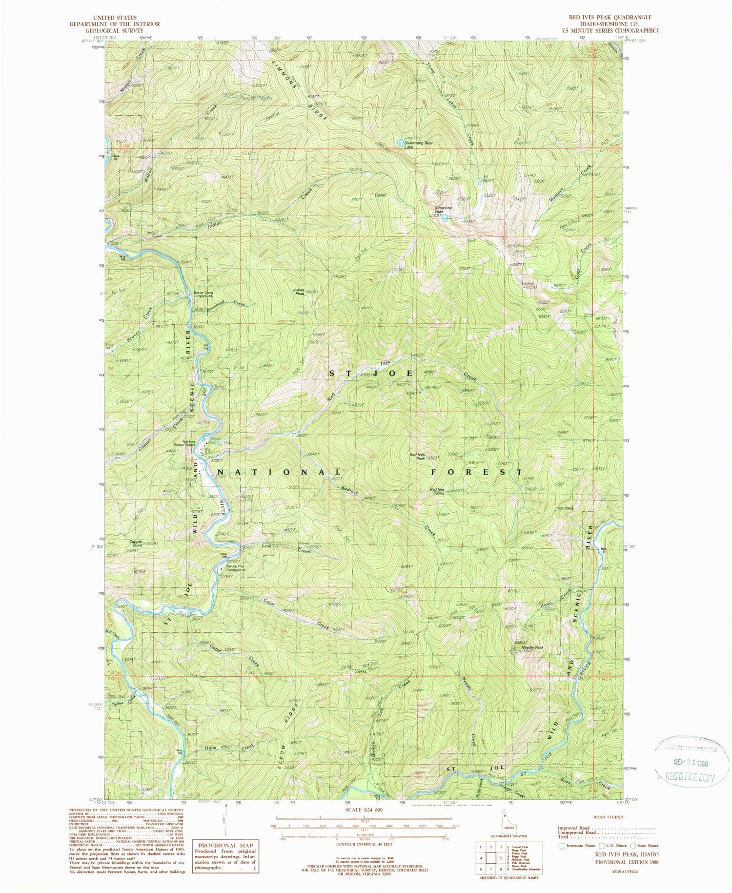
Classic USGS Red Ives Peak Idaho 7.5'x7.5' Topo Map
Couldn't load pickup availability
Historical USGS topographic quad map of Red Ives Peak in the state of Idaho. Typical map scale is 1:24,000, but may vary for certain years, if available. Print size: 24" x 27"
This quadrangle is in the following counties: Shoshone.
The map contains contour lines, roads, rivers, towns, and lakes. Printed on high-quality waterproof paper with UV fade-resistant inks, and shipped rolled.
Contains the following named places: Aqua Creek, Bean Creek, Beaver Creek, Beaver Creek Campground, Bedrock Creek, Bonehead Creek, Broken Leg Creek, Color Creek, Copper Creek, Copper Point, Elbow Ridge, Forage Creek, Game Creek, Halm Creek, Indian Creek, Indian Peak, Line Creek, Myrtle Creek, Needle Creek, Needle Peak, Red Ives Peak, Red Ives Creek, Red Ives Ranger Station, Scat Creek, Simmons Peak, Spruce Tree Campground, Timber Creek, Red Ives Spring, Broken Leg Forest Cabin, Simmons Lookout, Swimming Bear Lake, Simmons Ridge


