MyTopo
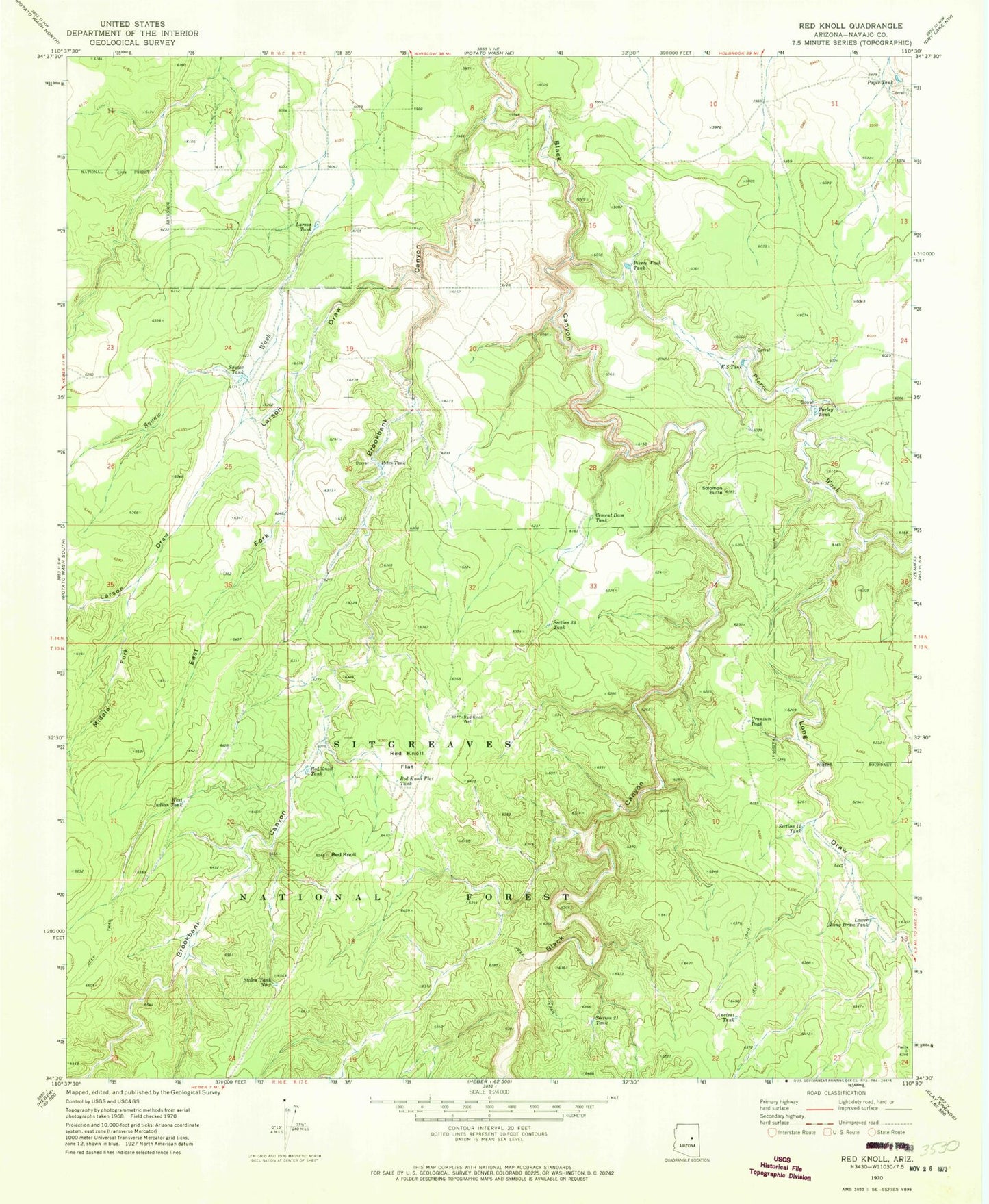
Classic USGS Red Knoll Arizona 7.5'x7.5' Topo Map
Couldn't load pickup availability
Historical USGS topographic quad map of Red Knoll in the state of Arizona. Map scale may vary for some years, but is generally around 1:24,000. Print size is approximately 24" x 27"
This quadrangle is in the following counties: Navajo.
The map contains contour lines, roads, rivers, towns, and lakes. Printed on high-quality waterproof paper with UV fade-resistant inks, and shipped rolled.
Contains the following named places: Ancient Tank, Brookbank Canyon, Cement Dam Tank, E S Tank, East Fork Larson Draw, Gardner Tank, Larson Draw, Larson Tank, Limestone Tank, Long Draw, Long Hollow Draw, Lower Long Draw Tank, Lower Trick Tank, Middle Fork Larson Draw, North Trick Tank, Petes Tank, Pierce Wash, Pierce Wash Tank, Poyer Tank, Red Knoll, Red Knoll Flat, Red Knoll Flat Tank, Red Knoll Tank, Red Knoll Well, Red Water Tank, Section Eleven Tank, Section Thirty-three Tank, Section Twentyone Tank, Solomon Butte, Squaw Tank, Squaw Tank South, Stolen Tank Number Two, Turley Tank, Uranium Tank, West Indian Tank, ZIP Code: 85928


