MyTopo
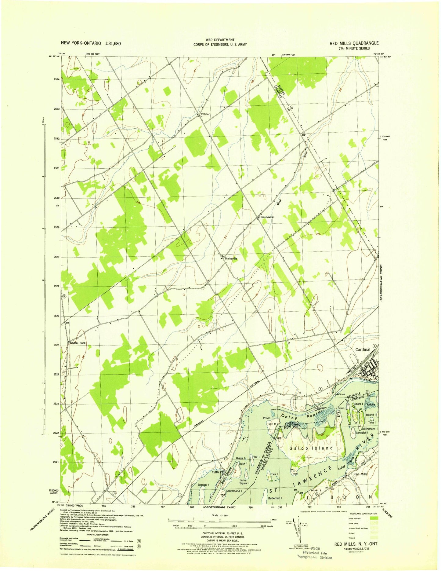
Classic USGS Red Mills New York 7.5'x7.5' Topo Map
Regular price
$16.95
Regular price
Sale price
$16.95
Unit price
per
Couldn't load pickup availability
Historical USGS topographic quad map of Red Mills in the state of New York. Map scale may vary for some years, but is generally around 1:24,000. Print size is approximately 24" x 27"
This quadrangle is in the following counties: St. Lawrence.
The map contains contour lines, roads, rivers, towns, and lakes. Printed on high-quality waterproof paper with UV fade-resistant inks, and shipped rolled.
Contains the following named places: Benedict Island, Dillingham Island, Dixon Island, Galop Island, Galop Rapids, Parish Dock, Red Mills, Sears Island, Shoemaker Island, Tick Island, Twin Island