MyTopo
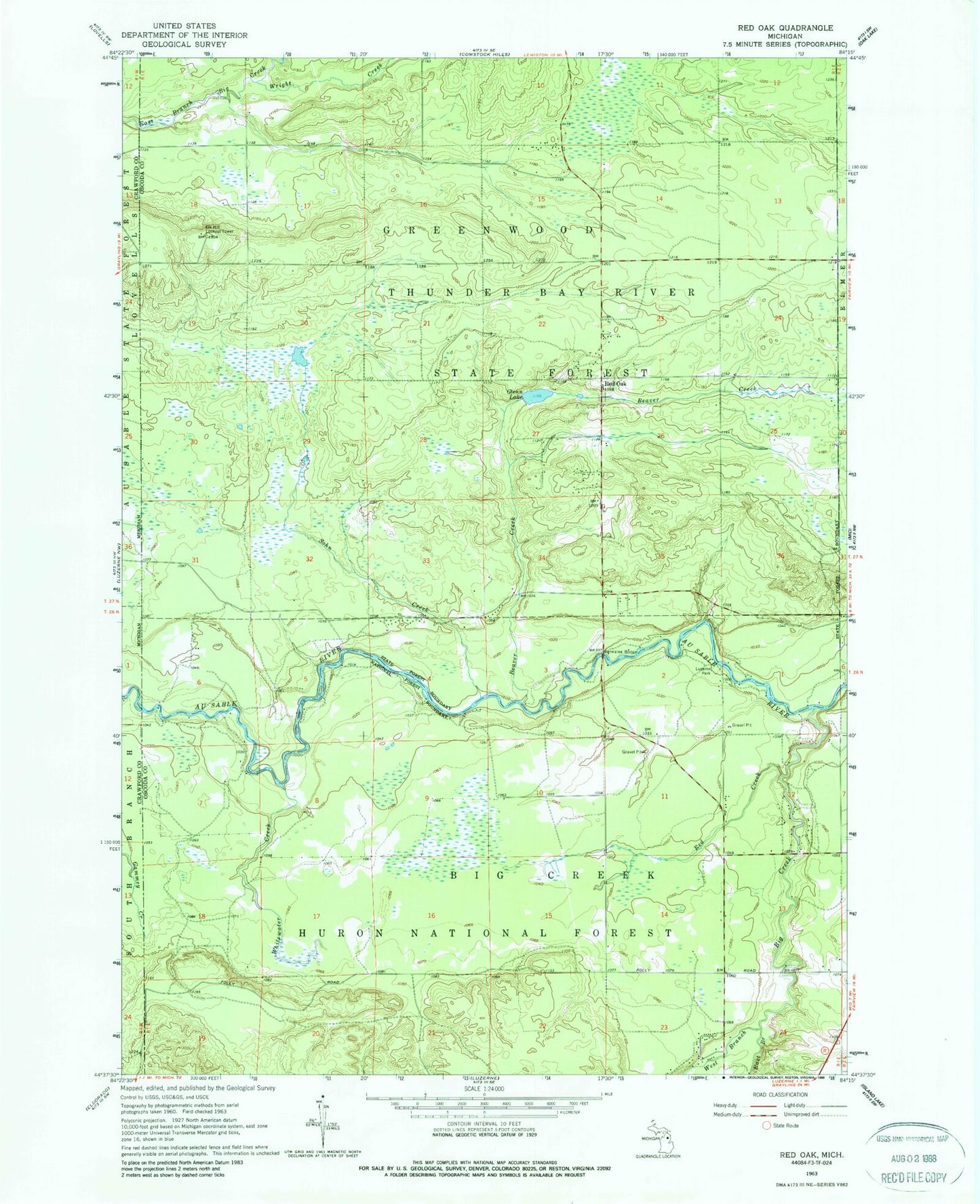
Classic USGS Red Oak Michigan 7.5'x7.5' Topo Map
Regular price
$16.95
Regular price
Sale price
$16.95
Unit price
per
Couldn't load pickup availability
Historical USGS topographic quad map of Red Oak in the state of Michigan. Typical map scale is 1:24,000, but may vary for certain years, if available. Print size: 24" x 27"
This quadrangle is in the following counties: Crawford, Oscoda.
The map contains contour lines, roads, rivers, towns, and lakes. Printed on high-quality waterproof paper with UV fade-resistant inks, and shipped rolled.
Contains the following named places: Beaver Creek, Big Creek, East Branch Big Creek, Glenn Lake, Luzerne Park, Red Creek, Red Oak, Sohn Creek, West Branch Big Creek, Whitewater Creek, Wright Creek, Parmalee Bridge Recreation Site, Elk Hill Lookout Tower, Parmalee Bridge, Red Oak Post Office (historical)