MyTopo
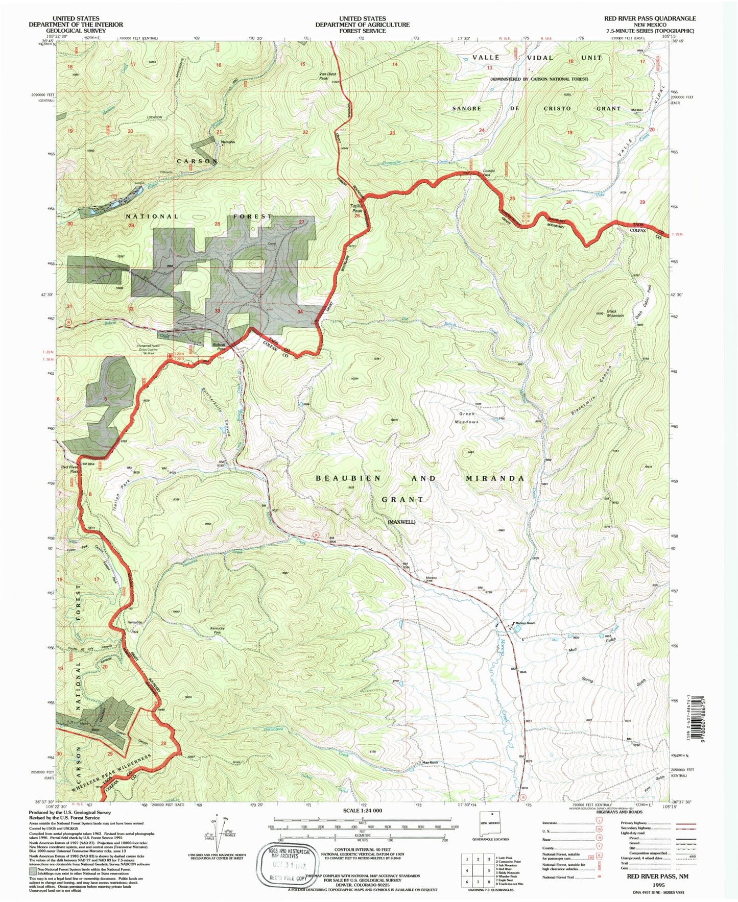
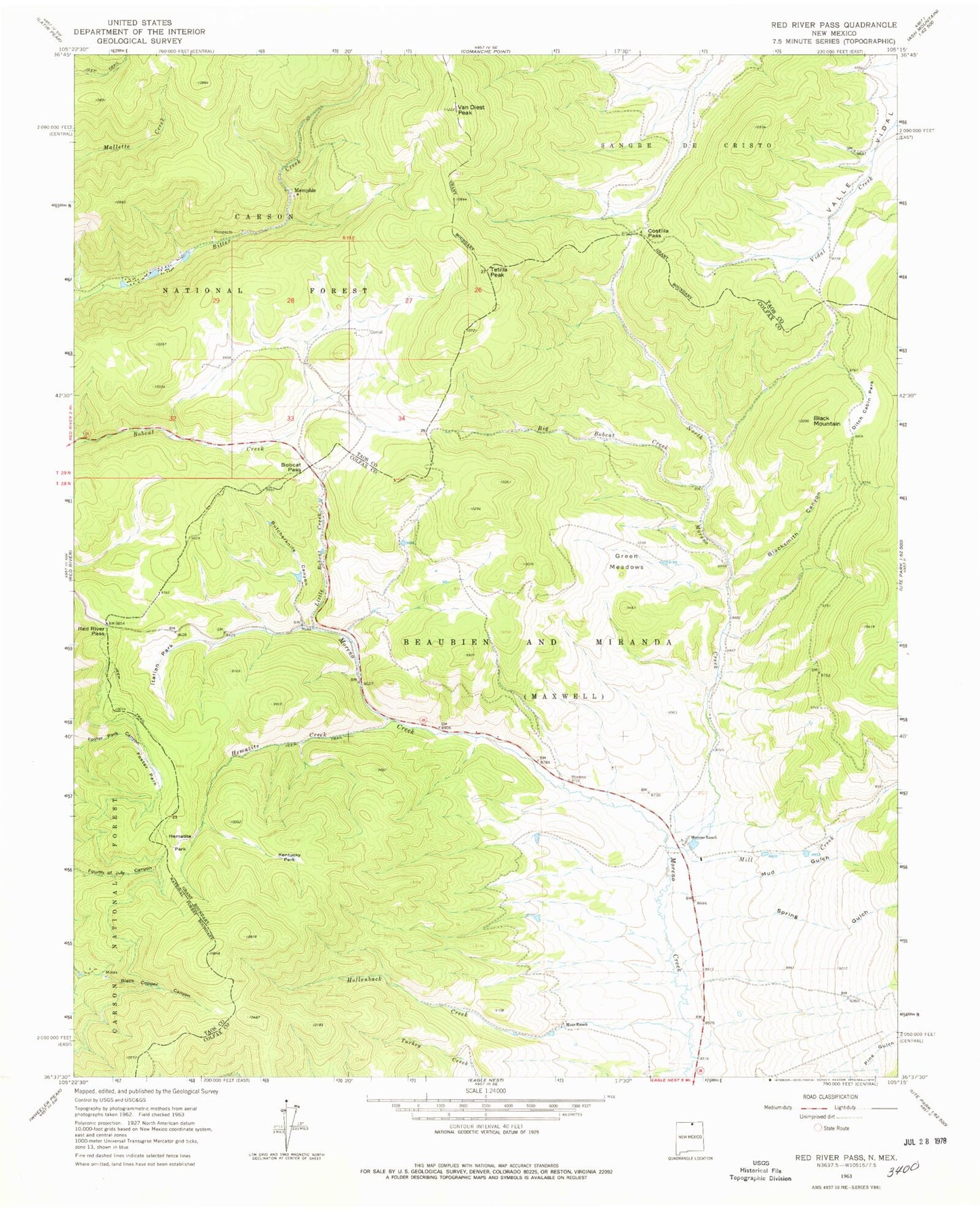
Classic USGS Red River Pass New Mexico 7.5'x7.5' Topo Map
Couldn't load pickup availability
Historical USGS topographic quad map of Red River Pass in the state of New Mexico. Typical map scale is 1:24,000, but may vary for certain years, if available. Print size: 24" x 27"
This quadrangle is in the following counties: Colfax, Taos.
The map contains contour lines, roads, rivers, towns, and lakes. Printed on high-quality waterproof paper with UV fade-resistant inks, and shipped rolled.
Contains the following named places: Moreno (historical), Big Bobcat Creek, Black Mountain, Blacksmith Canyon, Bobcat Pass, Butcherknife Canyon, Costilla Pass, Ditch Cabin Park, Foster Park, Green Meadows, Hematite Creek, Hematite Park, Hollenback Creek, Italian Park, Kentucky Park, Little Bobcat Creek, Memphis, Mill Creek, Moreno Ranch, Mud Gulch, Mutz Ranch, North Moreno Creek, Pine Gulch, Red River Pass, Spring Gulch, Tetilla Peak, Van Diest Peak, Challenge, Royal, Elizabeth Mine, Elladora, Enterprise, Tyroler, Gold King Number Two, Gold Leaf, Harmon, Huntingtonia, Independence, Manzanita, Labor Exchange, Iron Bird, King Yellow Jacket, Hemitite Chief, Hidden Treasure, Gem Number Two, Gold Bell, Free Gold, Emerald, Prichard, Ottumay, Varida Group, Silver Queen Prospect, Enderman Prospect, Bitter Creek Mining Company, Black Copper Group, Independence Mine, Jacks and Sixes Group, Memphis Mine, Boston Queen Prospect, Cora Gibson, Deldosso Prospect, Neptune, Misery, Monitor, Black Wizard, O K, Heck, Taos Mountains, Hematite (historical), Hematite Post Office (historical), Enchanted Forest Cross Country Ski Area


