MyTopo
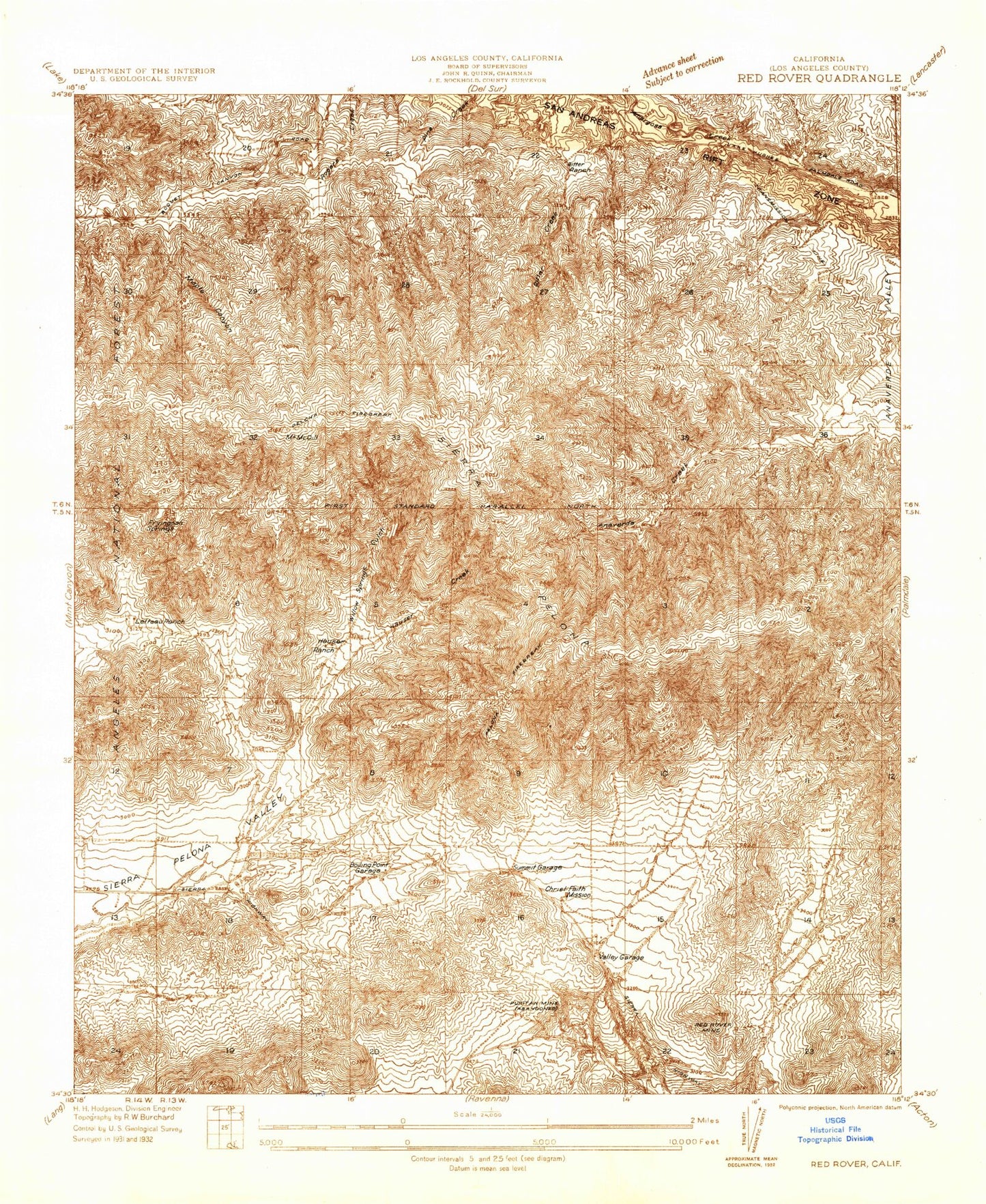
Classic USGS Red Rover California 7.5'x7.5' Topo Map
Couldn't load pickup availability
Historical USGS topographic quad map of Red Rover in the state of California. Map scale may vary for some years, but is generally around 1:24,000. Print size is approximately 24" x 27"
This quadrangle is in the following counties: Los Angeles.
The map contains contour lines, roads, rivers, towns, and lakes. Printed on high-quality waterproof paper with UV fade-resistant inks, and shipped rolled.
Contains the following named places: Annan Ranch, Boiling Point, Fryingpan Springs, Governor Mine, Hauser Canyon, Hauser Microwave Station, Lannan Ranch, Letteau Canyon, Los Angeles County Fire Department Station 81, Maple Canyon, Messer Ranch, Mission, Mount McDill, Puritan Mine, Red Rover Mine, Ritter Canyon, Sierra Pelona, Summit, Willow Springs Canyon