MyTopo
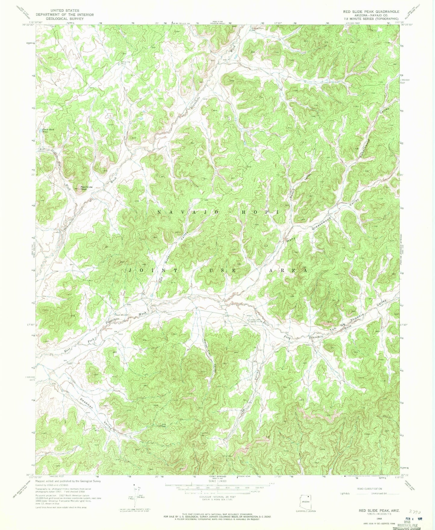
Classic USGS Red Slide Peak Arizona 7.5'x7.5' Topo Map
Couldn't load pickup availability
Historical USGS topographic quad map of Red Slide Peak in the state of Arizona. Map scale may vary for some years, but is generally around 1:24,000. Print size is approximately 24" x 27"
This quadrangle is in the following counties: Navajo.
The map contains contour lines, roads, rivers, towns, and lakes. Printed on high-quality waterproof paper with UV fade-resistant inks, and shipped rolled.
Contains the following named places: Black Rock Pond, Burning Rock Well, Deadman Valley, Forest Lake Chapter, Forest Lake Chapter House, Horse Trail Valley, Many Greasewood Valley, Rabbit Valley, Red Slide Peak, Red Slide Peak Wash, Reed Windmill, Salt Water Valley, Sheep Dip Well, Sweathouse Valley, Toh Ne Zhonnie Valley, Ute Valley