MyTopo
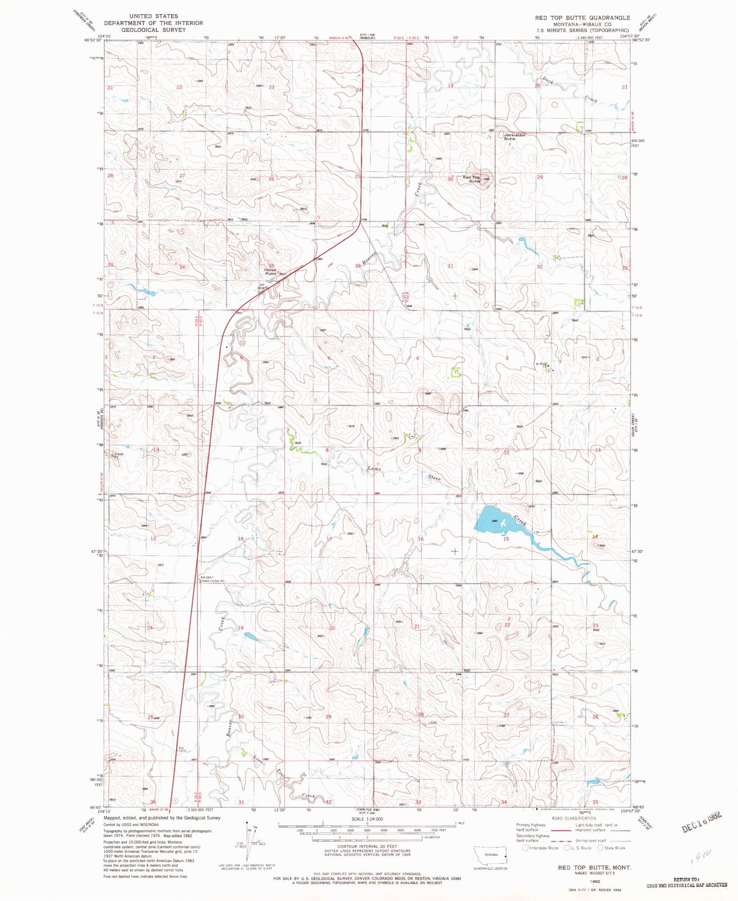
Classic USGS Red Top Butte Montana 7.5'x7.5' Topo Map
Couldn't load pickup availability
Historical USGS topographic quad map of Red Top Butte in the state of Montana. Map scale may vary for some years, but is generally around 1:24,000. Print size is approximately 24" x 27"
This quadrangle is in the following counties: Wibaux.
The map contains contour lines, roads, rivers, towns, and lakes. Printed on high-quality waterproof paper with UV fade-resistant inks, and shipped rolled.
Contains the following named places: 12N60E06CCC_01 Well, 12N60E11ABB_01 Well, 12N60E22CCC_01 Well, 12N60E28AADB01 Well, 13N59E23CDDD01 Well, 13N59E24BDD_01 Well, 13N59E35AD__01 Well, 13N60E30AAAA01 Well, Horse Point, Jackrabbit Butte, Lamesteer Creek, Lamesteer National Wildlife Refuge, Lamesteer Reservoir, Lamesteer Reservoir Dam, Liberty School, Lone Tree Creek, Pierce School, Podolski Butte, Red Top Butte, Saint Philip Church, Saint Philips Cemetery, Saint Phillip, Saint Phillip School, Sominski School, South Center School