MyTopo
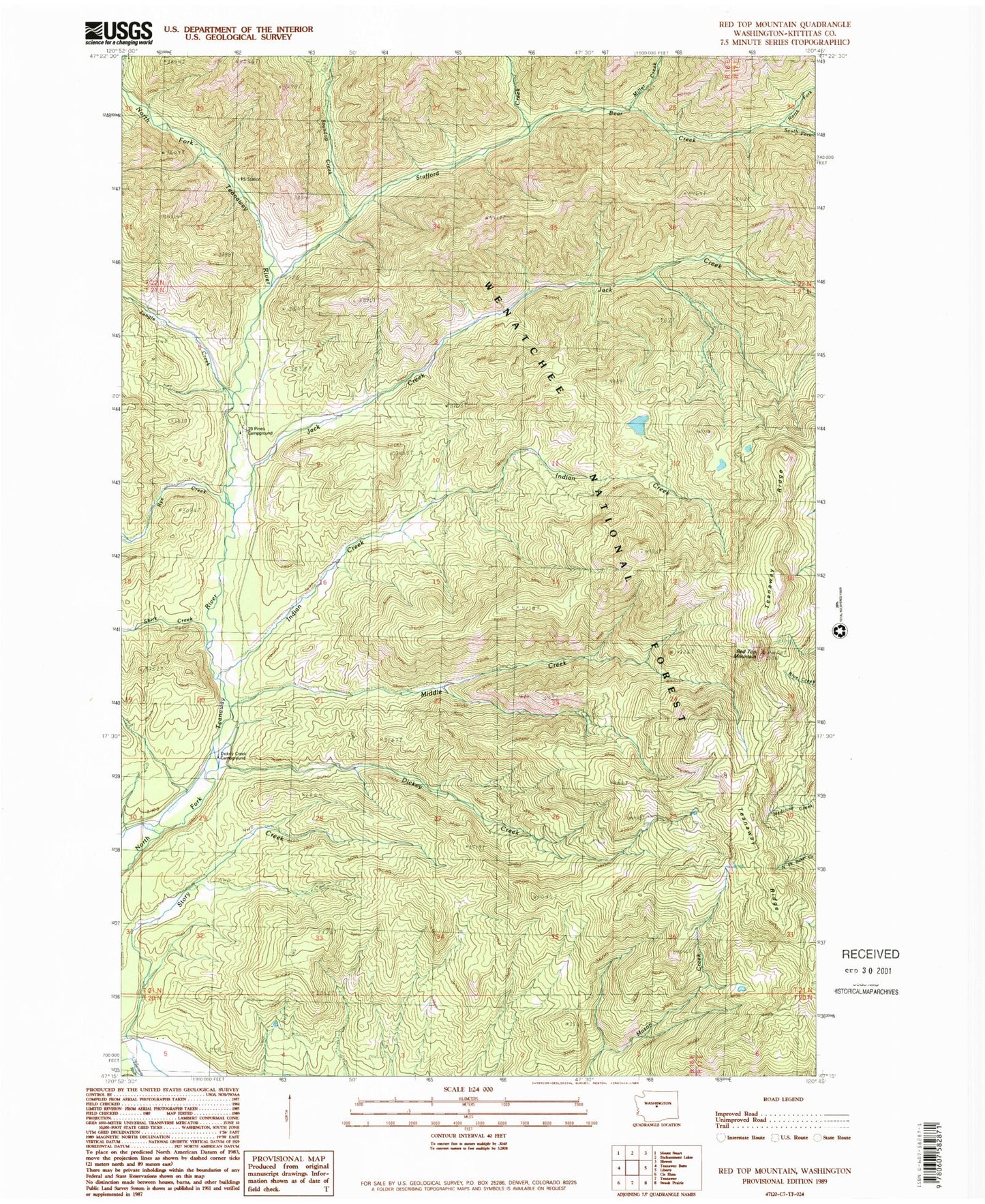
Classic USGS Red Top Mountain Washington 7.5'x7.5' Topo Map
Couldn't load pickup availability
Historical USGS topographic quad map of Red Top Mountain in the state of Washington. Typical map scale is 1:24,000, but may vary for certain years, if available. Print size: 24" x 27"
This quadrangle is in the following counties: Kittitas.
The map contains contour lines, roads, rivers, towns, and lakes. Printed on high-quality waterproof paper with UV fade-resistant inks, and shipped rolled.
Contains the following named places: Bear Creek, Dickey Creek, Dickey Creek Trail, Indian Creek, Jack Creek, Jungle Creek, Middle Creek, Miller Creek, North Fork Bear Creek, Red Top Mountain, Rye Creek, Shirk Creek, South Fork Bear Creek, Stafford Creek, Stafford Lookout, Standup Creek, Story Creek, Teanaway Ridge, Twentynine Pines Campground, Dickey Creek Campground, Red Top Agate Beds, Ryepatch, Red Top Mountain Lookout, Stafford Creek Recreation Area