MyTopo
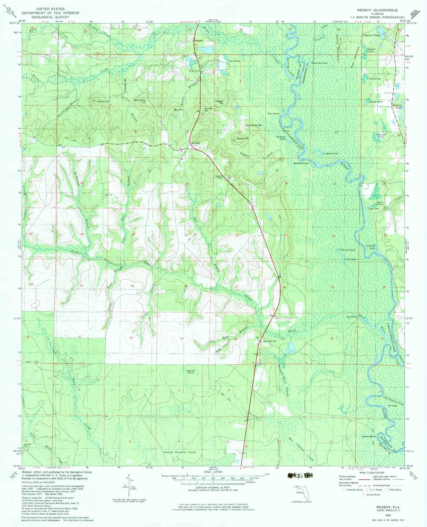
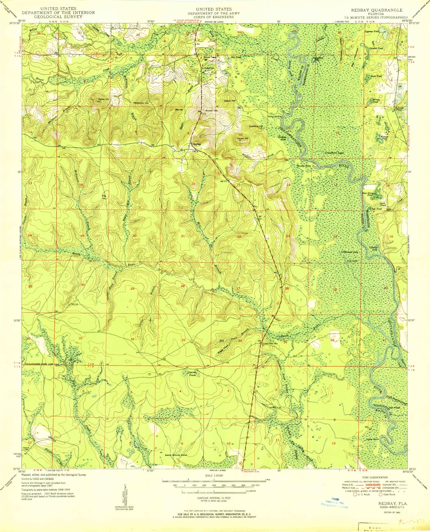
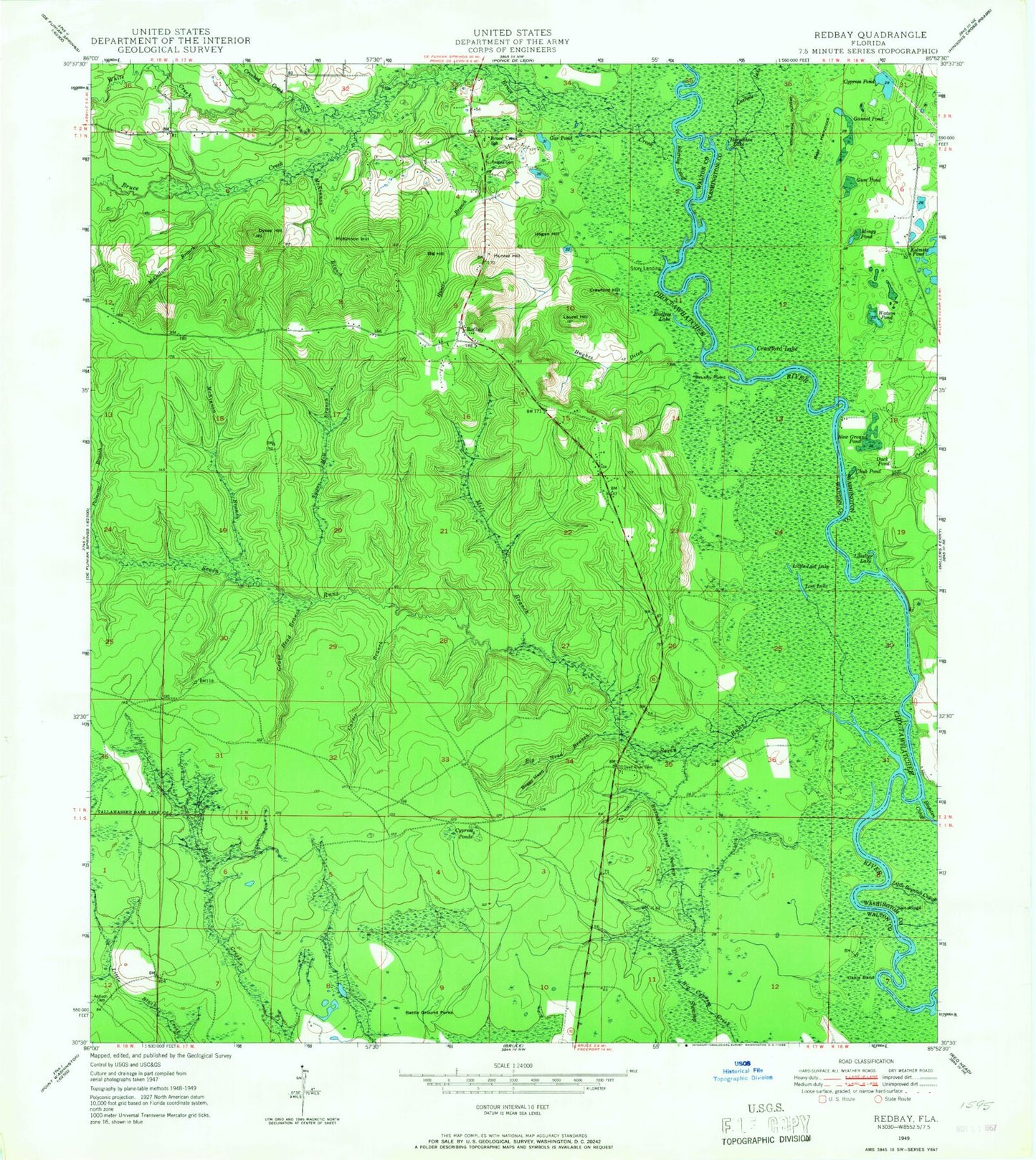
Classic USGS Redbay Florida 7.5'x7.5' Topo Map
Couldn't load pickup availability
Historical USGS topographic quad map of Redbay in the state of Florida. Map scale may vary for some years, but is generally around 1:24,000. Print size is approximately 24" x 27"
This quadrangle is in the following counties: Walton, Washington.
The map contains contour lines, roads, rivers, towns, and lakes. Printed on high-quality waterproof paper with UV fade-resistant inks, and shipped rolled.
Contains the following named places: Antioch Cemetery, Battle Ground Forks, Bear Hammock, Big Head Branch, Big Hill, Boggy Head, Bruce Creek, Bruce Creek School, Brushy Point, Buzzard Roost Swamp, Carlisle Lake, Carter Branch, Chub Pond, Crawford Hill, Crawford Lake, Crooked Creek, Cypress Pond, Dave McCloud Pond, Dead River Cemetery, Duck Pond, Dykes Hill, Endless Lake, Gannet Pond, Gar Pond, Grape Head Branch, Gum Pond, Hogan Hill, Horseshoe Lake, Hughes Ditch, Hunter Branch, Hunter Hill, Lassiter Lake, Laurel Hill, Little Lost Lake, Lost Lake, McCallum Branch, McKinnon Branch, McKinnon Hill, Menge Pond, Mill Branch, Mill Creek, Mount Hammock, New Ground Pond, Oakle Bend, Palmetto Branch, Redbay, Redbay Cemetery, Redbay Tower, Roaring Cutoff, Seven Runs, Spears Branch, Story Landing, Sugar Mill Branch, Walton County Fire Rescue Station 8 - Red Bay Fire Station, Watson Pond, White Creek


