MyTopo
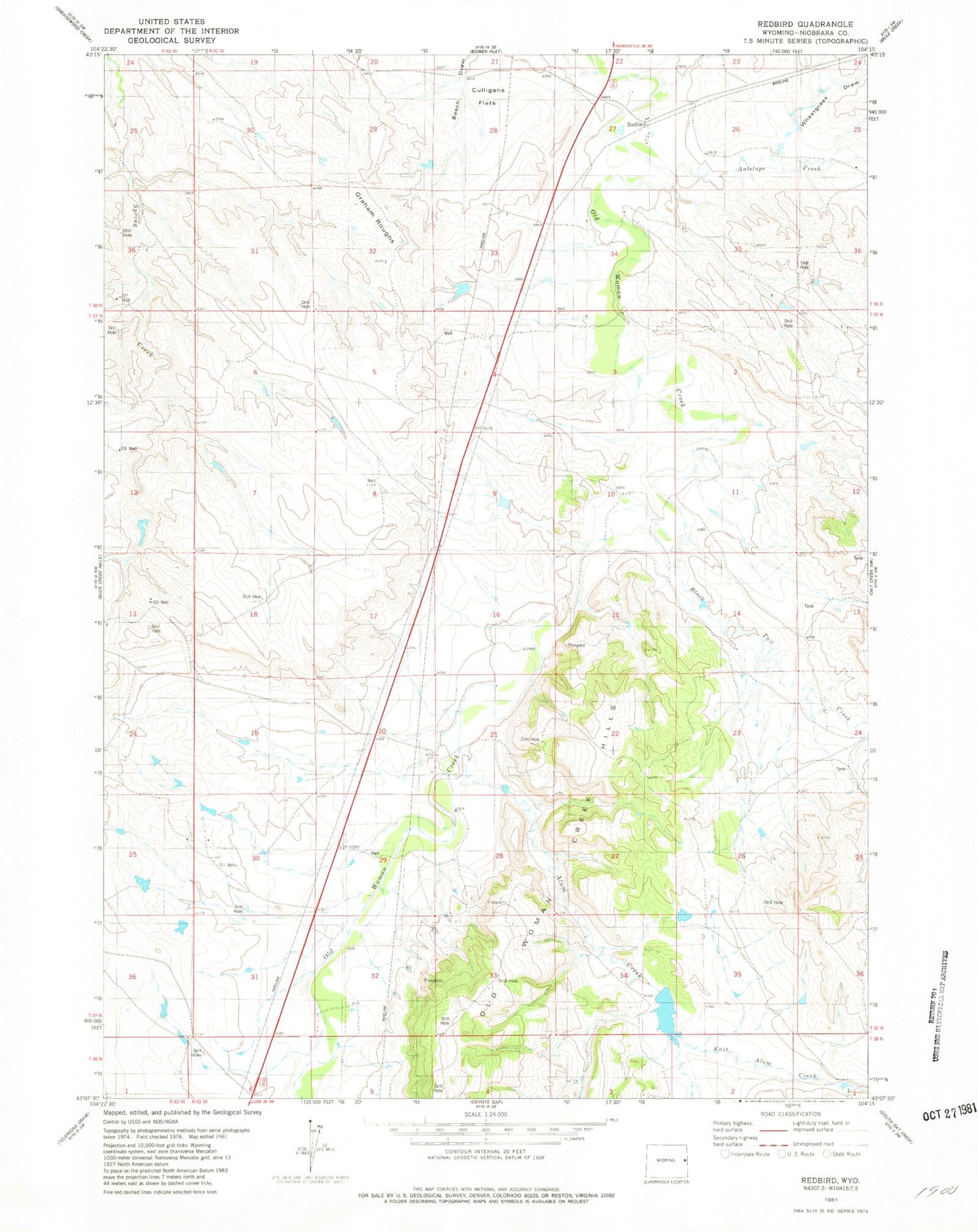
Classic USGS Redbird Wyoming 7.5'x7.5' Topo Map
Couldn't load pickup availability
Historical USGS topographic quad map of Redbird in the state of Wyoming. Map scale may vary for some years, but is generally around 1:24,000. Print size is approximately 24" x 27"
This quadrangle is in the following counties: Niobrara.
The map contains contour lines, roads, rivers, towns, and lakes. Printed on high-quality waterproof paper with UV fade-resistant inks, and shipped rolled.
Contains the following named places: Alum Creek, Amelia Number 1 Dam, Amelia Number 1 Reservoir, Antelope Creek, Black Tail Creek, Clark and Metzger Reservoir, Clark Number 1 Dam, Clark Number 1 Reservoir, East Alum Creek, Graham Roughs, Johnny Wasserburger Dam, Johnny Wasserburger Reservoir, Leo Dam, Leo Reservoir, Old Woman Creek Hills, Pfister Number 1 Dam, Pfister Number 1 Reservoir, Redbird, Sorem Number 1 Dam, Sorem Number 1 Reservoir, Wheatgrass Draw