MyTopo
Classic USGS Redess Oregon 7.5'x7.5' Topo Map
Regular price
$16.95
Regular price
Sale price
$16.95
Unit price
per
Couldn't load pickup availability
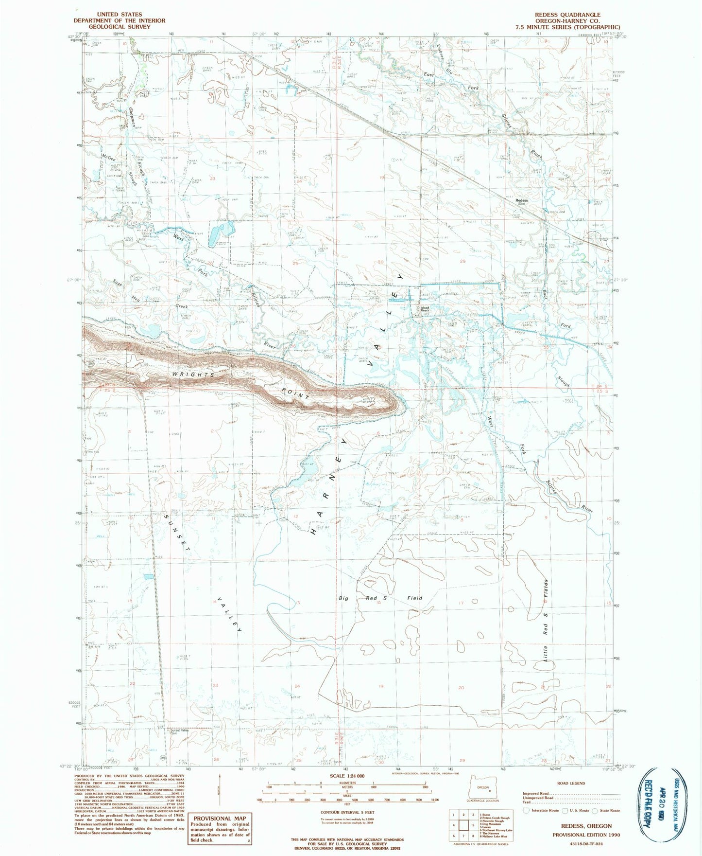
Historical USGS topographic quad map of Redess in the state of Oregon. Map scale may vary for some years, but is generally around 1:24,000. Print size is approximately 24" x 27"
This quadrangle is in the following counties: Harney.
The map contains contour lines, roads, rivers, towns, and lakes. Printed on high-quality waterproof paper with UV fade-resistant inks, and shipped rolled.
Contains the following named places: Adobe Camp, Big Red S Canal, Big Red S Field, Boat Ford Slough, Camp Wright, Chapman Slough, Embree Slough, Henney Post Office, Island Ranch, Little Red S Fields, McGee Slough, McRae Slough, Redess, Sage Hen Creek, Sunset Valley Cemetery, Wrights Point