
MyTopo
Classic USGS Redington Maine 7.5'x7.5' Topo Map
Couldn't load pickup availability
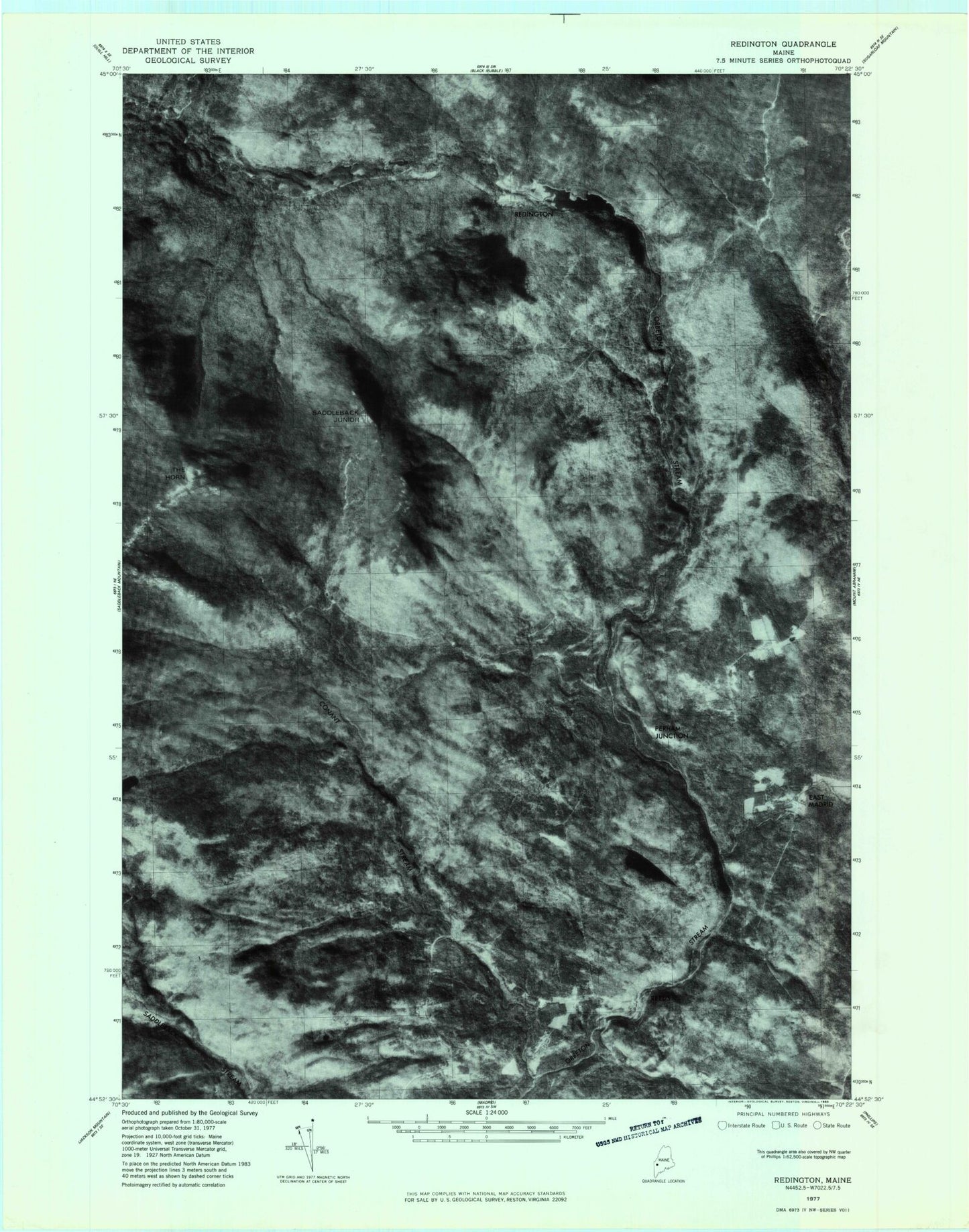
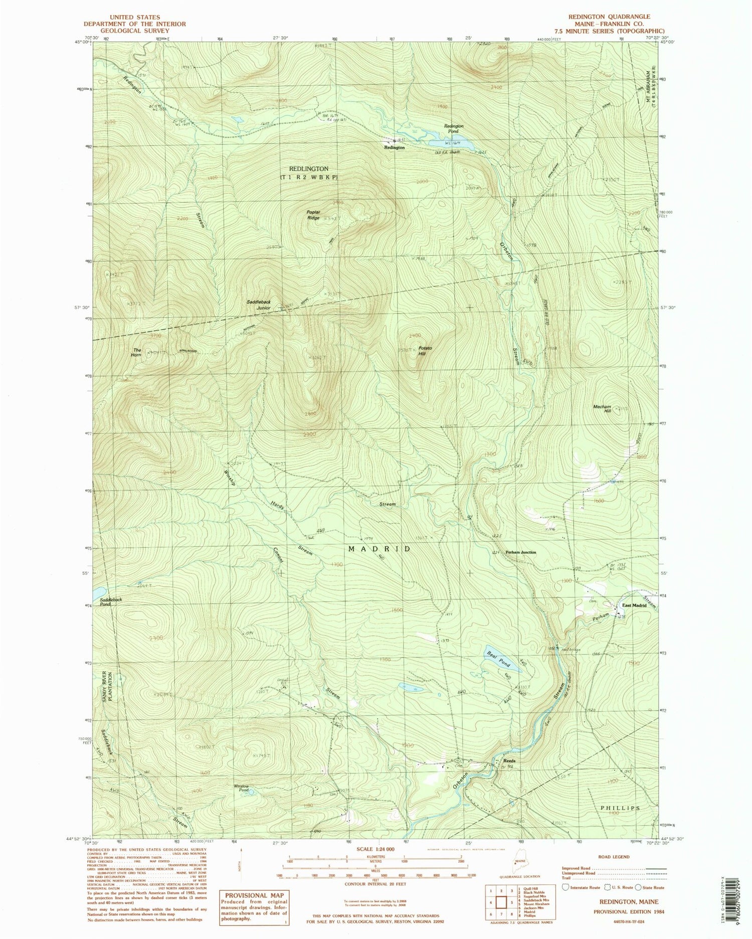
Historical USGS topographic quad map of Redington in the state of Maine. Typical map scale is 1:24,000, but may vary for certain years, if available. Print size: 24" x 27"
This quadrangle is in the following counties: Franklin.
The map contains contour lines, roads, rivers, towns, and lakes. Printed on high-quality waterproof paper with UV fade-resistant inks, and shipped rolled.
Contains the following named places: Beal Pond, Conant Stream, East Madrid School, Hardy Stream, Mecham Hill, Perham Stream, Poplar Ridge, Potato Hill, Redington Pond, Saddleback Junior, Saddleback Pond, Stower School, The Horn, Winship Stream, Winslow Pond, East Madrid, Perham Junction, Redington, Reeds, Franklin County, Town of Madrid, Ralph Odom Training Facility, Dunham Cemetery, East Madrid Cemetery, Reeds Mill Cemetery