MyTopo
Classic USGS Redland Oregon 7.5'x7.5' Topo Map
Couldn't load pickup availability
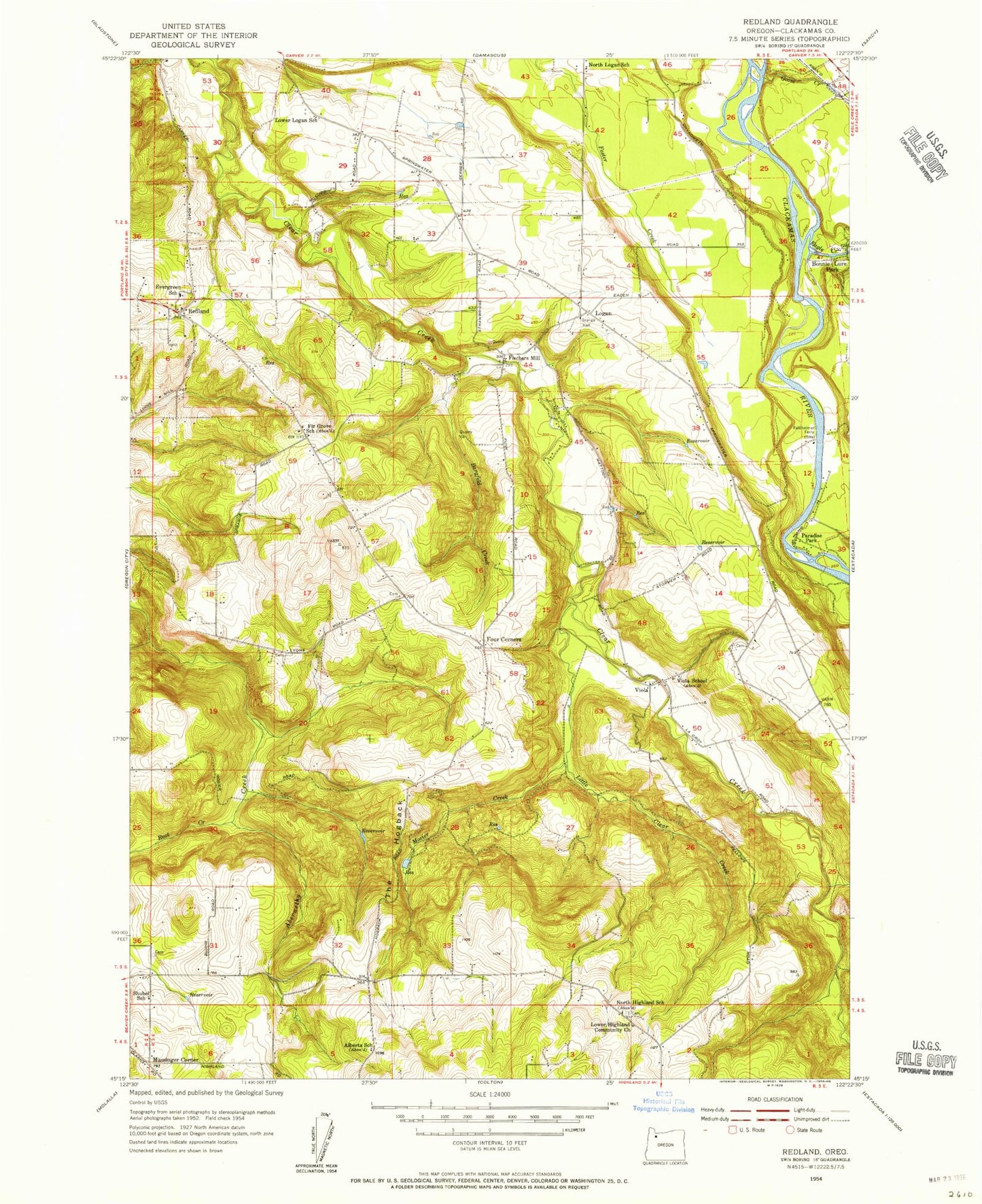
Historical USGS topographic quad map of Redland in the state of Oregon. Map scale may vary for some years, but is generally around 1:24,000. Print size is approximately 24" x 27"
This quadrangle is in the following counties: Clackamas.
The map contains contour lines, roads, rivers, towns, and lakes. Printed on high-quality waterproof paper with UV fade-resistant inks, and shipped rolled.
Contains the following named places: Bargfeld Creek, Big Sky Ranch Airstrip, Bonnie Lure State Park, Briscoe Reservoir, Cedarhurst Park, Clackamas Fire District Number 1 Station 11 Redland, Clackamas Fire District Number 1 Station 12 Logan, Eagle Creek, Estacada Bible Fellowship, Feldheimer Boat Ramp, Feldheimer Ferry, Fellows Cemetery, Fir Grove School, Firgrove, Fischer's Forest Park Water Pollution Control Facility, Fischers Mill, Four Corners, Goose Creek, Highland Store, Little Clear Creek, Logan, Logan Post Office, Lower Highland Bible Church and Sunday School, Lyons View Park, Martin Creek, Massinger Corner, McGill Airstrip, Milo McIver State Park Northern Boat Ramp, Mint Lake, Moehnke Cemetery, Mosier Creek, North Highland, North Highland School, North Logan School, Norton Post Office, Paradise Park, Parson Landing, Redland, Redland Division, Redland Elementary School, Redland Pioneer Cemetery, Redland Post Office, Root Creek, Sabin Airport, Saint Philip Benizi Catholic Church, Shubel Post Office, Shubel School, Skyhill Airport, Sonshine Christian Center, Sprague Cemetery, Springwater Environmental Sciences School, Tennys Creek, The Hogback, Viola, Viola Douglass Denning Grave, Viola Post Office, Viola Ridge Christian Center, Warner's Airport, ZIP Code: 97004


