MyTopo
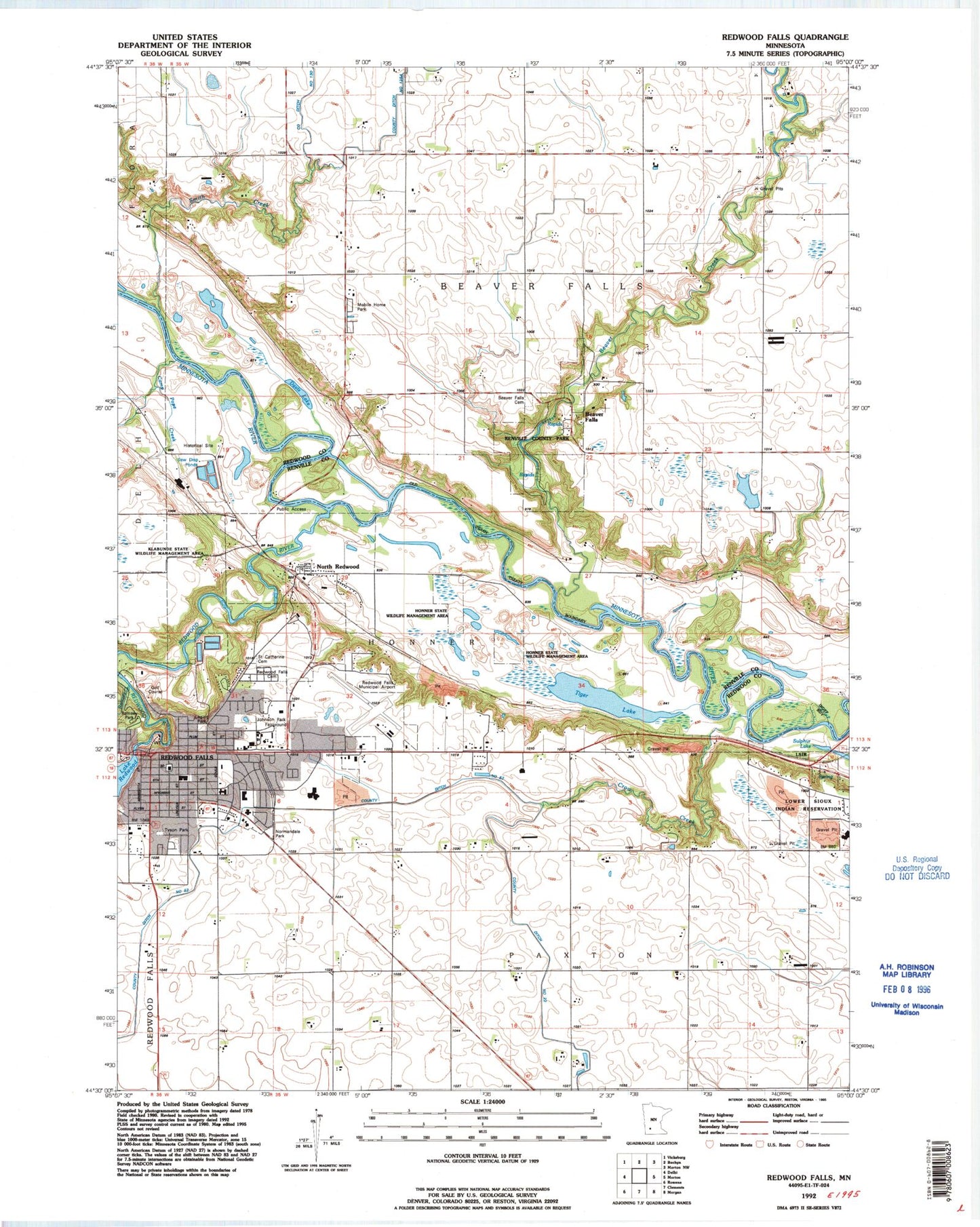
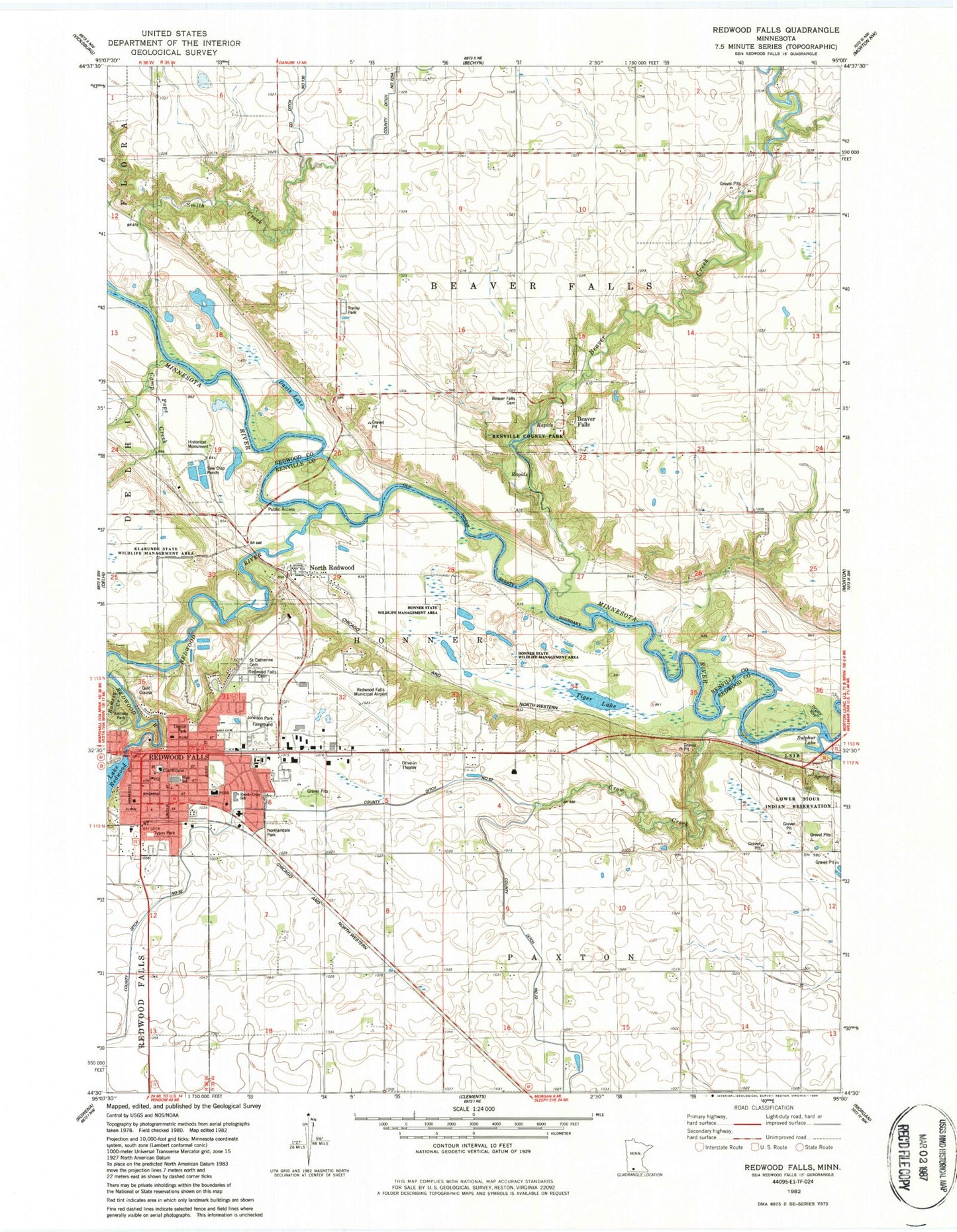
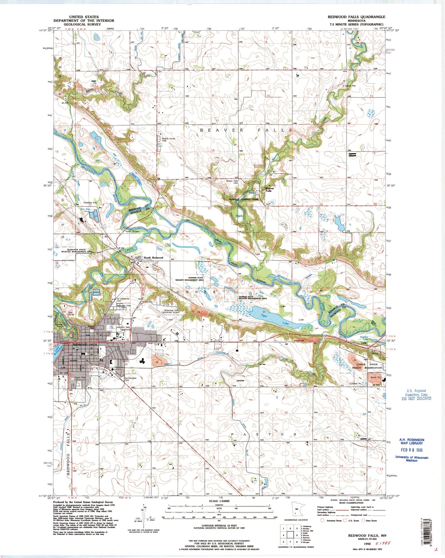
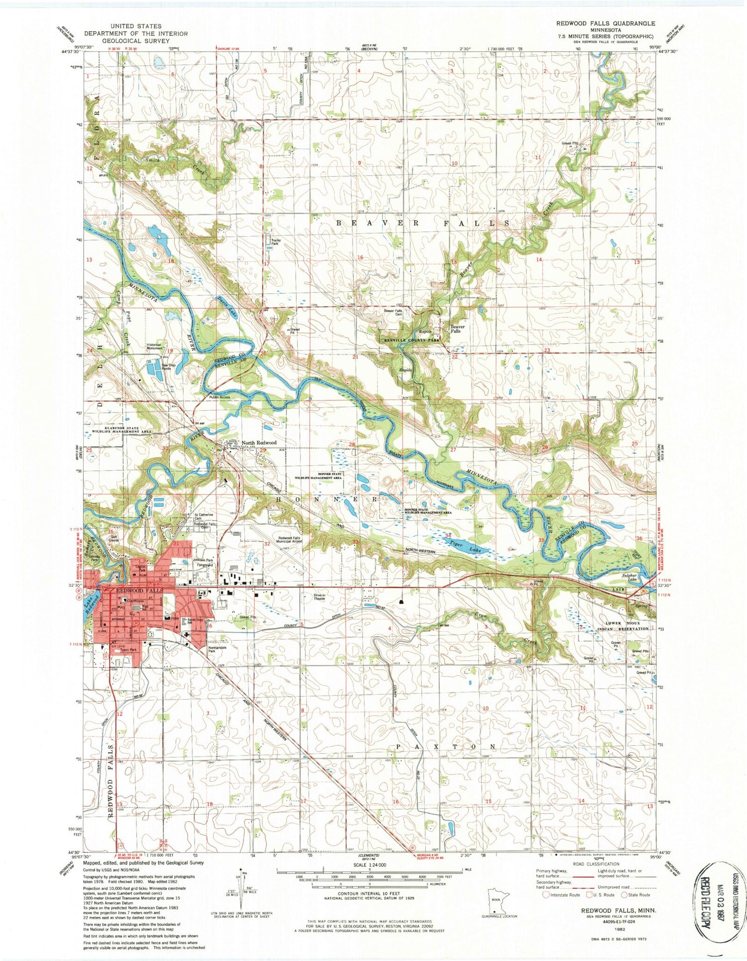
Classic USGS Redwood Falls Minnesota 7.5'x7.5' Topo Map
Couldn't load pickup availability
Historical USGS topographic quad map of Redwood Falls in the state of Minnesota. Map scale may vary for some years, but is generally around 1:24,000. Print size is approximately 24" x 27"
This quadrangle is in the following counties: Redwood, Renville.
The map contains contour lines, roads, rivers, towns, and lakes. Printed on high-quality waterproof paper with UV fade-resistant inks, and shipped rolled.
Contains the following named places: Affiliated Community Medical Center, Armory Square Mall, Assembly of God Church, Beaver Creek, Beaver Falls, Beaver Falls Cemetery, Beaver Falls Post Office, Camp Pope Burial Plot, Camp Pope Creek, Church of Christ, Church of the Living Word, Church of the Nazarene, City of North Redwood, City of Redwood Falls, County Ditch Number Fiftytwo, Crow Creek, Davis Lake, First United Methodist Church, Geology of the Minnesota River Valley Historical Marker, Geology of the Redwood Falls Region Historical Marker, Gloria Dei Lutheran Church, Honner State Wildlife Management Area, Industrial Park Clinic, Johnson Park Fairground, Johnson Park Place, Klabunde State Wildlife Management Area, Legion Park, Memorial Park, Normandale Park, North Memorial Ambulance Redwood Falls, North Memorial Ambulance Service Redwood Falls, North Redwood, North Redwood Post Office, Oakleigh Farms, Presbyterian USA Church, Ramsey Park, Ramsey Park Swayback Bridge, Redwood Alliance Church, Redwood Area Hospital / Emergency Room - Carris Health, Redwood County Courthouse, Redwood County Jail, Redwood County Sheriff's Office, Redwood Falls, Redwood Falls Cemetery, Redwood Falls County Fairgrounds, Redwood Falls Fire Department, Redwood Falls Golf Club, Redwood Falls Library, Redwood Falls Municipal Airport, Redwood Falls Police Department, Redwood Falls Post Office, Redwood Falls Public Schools, Redwood Falls Retaining Wall Park, Redwood Lake, Redwood River, Redwood River Dam, Redwood River Wayside Park, Redwood Station, Reede Gray Elementary School, Renville County Park, Riverside Cemetery, Saint Catherine Cemetery, Saint Catherine's Catholic Church, Saint Johns Lutheran Church, Saint Johns Lutheran School, School Number 4, School Number 6 West, School Number 7, Schwandt State Monument, Smith Creek, Sunwood Good Samaritan Center, Tiger Lake, Township of Beaver Falls, Township of Honner, Township of Paxton, Tyson Park, Valentine Appel Burial Plot, Wood Dale Nursing Home, Wowinape or Thomas Wakeman (1846-1886) Historical Marker


