MyTopo
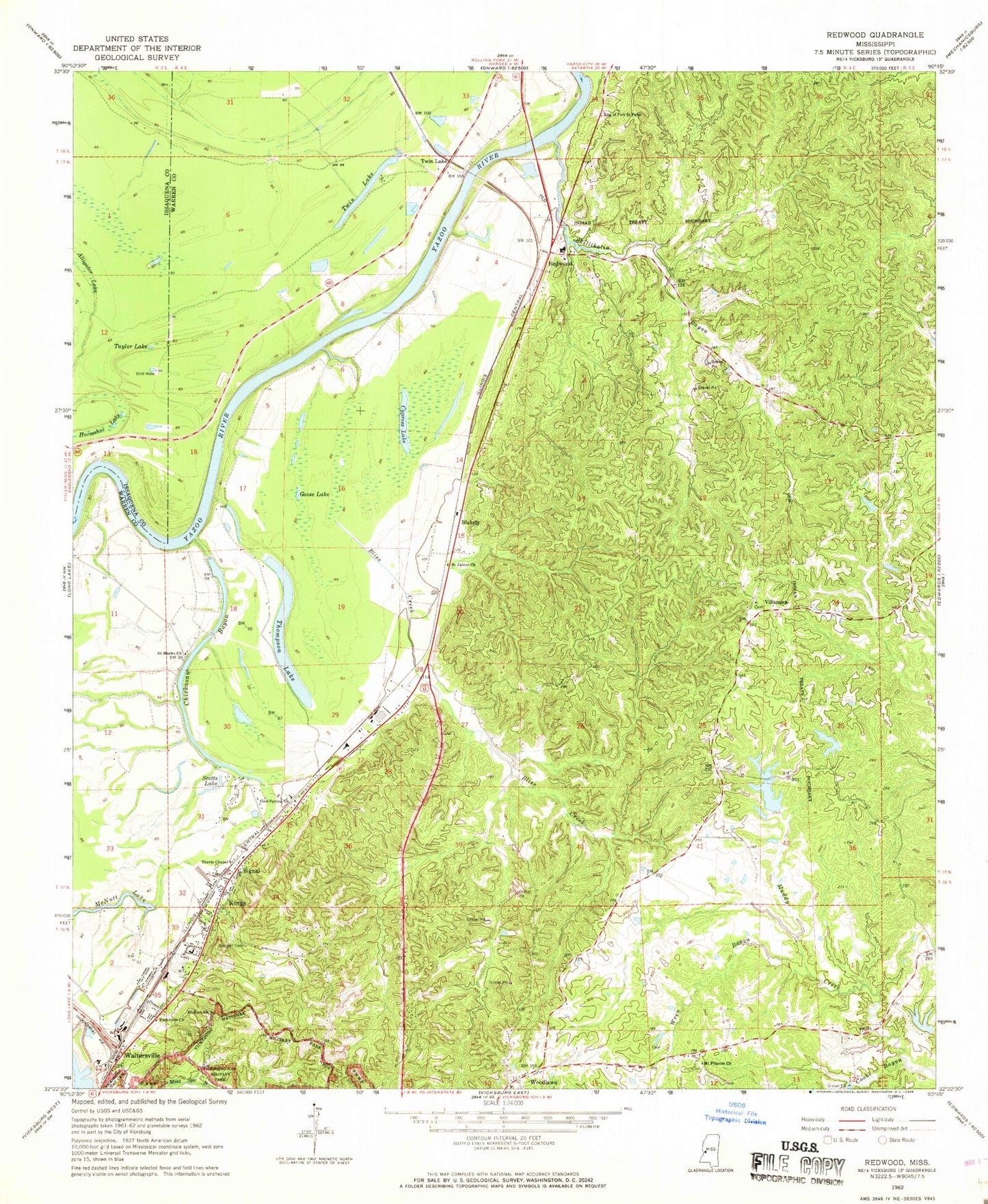
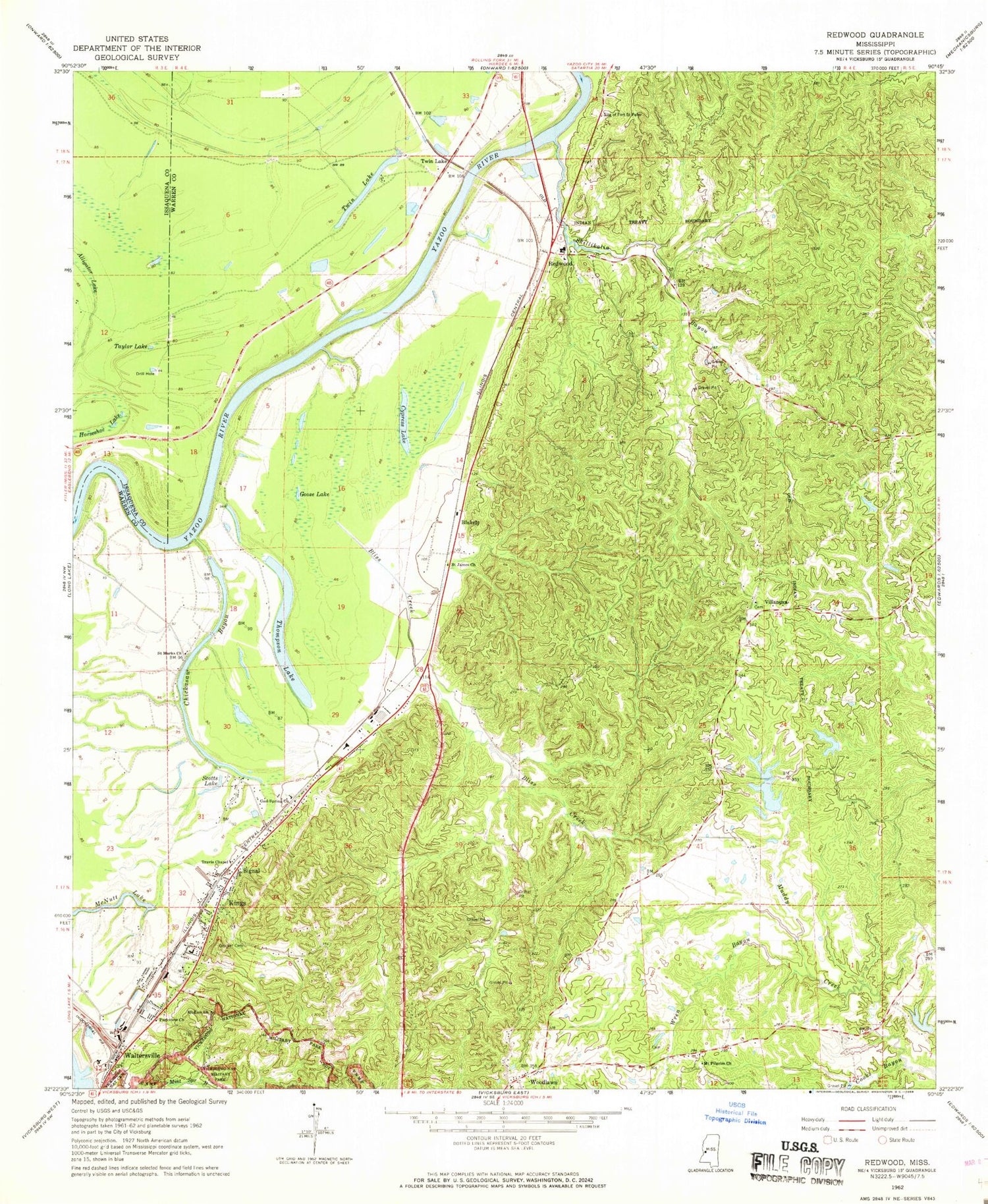
Classic USGS Redwood Mississippi 7.5'x7.5' Topo Map
Couldn't load pickup availability
Historical USGS topographic quad map of Redwood in the state of Mississippi. Map scale may vary for some years, but is generally around 1:24,000. Print size is approximately 24" x 27"
This quadrangle is in the following counties: Issaquena, Warren.
The map contains contour lines, roads, rivers, towns, and lakes. Printed on high-quality waterproof paper with UV fade-resistant inks, and shipped rolled.
Contains the following named places: Barnes Bayou Landing, Battery Selfridge, Beasleys Landing, Blakely, Bliss Creek, Cardiff Landing, Chickasaw Bayou, Chickasaw Bayou Dam, Chickasaw Bayou Landing, Choctaw Lake Dam, Cole School, Cooks Bayou, Cool Spring Church, Cooper School, Countrymen School, Cowans Spring, Crocket Cemetery, Culkin Volunteer Fire Department, Fernwood School, Gaskins Landing, Goose Lake, Great Lake Estates, Horseshoe Lake, Kings, Kings School, Lake Forest, Lake Forest Dam, Lakes Landing, McCarthys Landing, McNutt Lake, Mount Olive Church, Mount Pilgrim Church, Mount Zion Church, Northeast Warren County Volunteer Fire Department, Openwood Country Club, Openwood Plantation, Openwood Plantation Lake Dam, Parkview Church, Redwood, Redwood Census Designated Place, Redwood Elementary School, Redwood Ferry, Redwood Landing, Redwood Methodist Church, Redwood Post Office, Rosetta Landing, Ross Landing, Saint James Church, Saint Marks Church, Scotts Lake, Signal, Skillakalla Bayou Landing, Skillikalia Bayou, Snyders Bluff, Snyders Bluff Landing, Southall, Southall Lake Dam, Taylor Lake, Taylors Landing, Thompson Lake, Thompson Lake Dam, Thompson Landing, Travis Chapel, Twin Lake, USS Cairo Museum, Valley Mills, Vicksburg Fire Department Station 9, Villanova, Walnut Hills, Waltersville, Warren County Recreational Complex, Woodlawn, Woodlawn Baptist Church, Wren Bayou, ZIP Code: 39183


